Duiksites, seizoenen en zeeleven — onderzocht, in kaart gebracht, gepland.
Menu
Bestemmingen Duiklocaties Zeeleven Wrakken Nieuws
Plan een reis Reisplanner Wanneer duiken Kostencalculator Vergelijkingen Zeeleven-kalender Watertemperatuur Liveaboards Operators & resorts Mariene parken Hyperbare kamers Wereldkaart
Regio's Australië, Nieuw-Zeeland & Oost-AziëCaribisch gebied & westelijke Atlantische OceaanEuropa, Atlantische Oceaan & Middellandse ZeeIndische Oceaan & Oost-AfrikaPacifische eilanden & MicronesiëRode Zee & Midden-OostenZuidoost-Azië & Coral TriangleDe Amerika's & Oost-Stille Oceaan Landen
Leren & Tools Alle gidsen Brevetten Uitrustingsgidsen Video's Vraag de data AI-agents API
Over Over ons Methodologie Disclaimer Contact
Jouw weergave
★ Opgeslagen

Jouw favoriete bestemmingen, duiklocaties en soorten — opgeslagen in deze browser.

API GATEWAY

Gratis alleen-lezen JSON-toegang tot de gecachede data van de atlas.

Donkere modus

🧭 Begeleide weergave
Nieuw met duiken — dieptes, stromingen, brevetniveaus? We leggen elke term uit terwijl je bladert, in gewone taal. Dezelfde gegevens, met ingebouwde uitleg.

⚡ Expertweergave
Je weet het verschil tussen een wand en een drift dive al. Alleen de data — overzichtelijk, snel en compact. Dit is de standaardweergave.

Interfacetaal
USAT Liberty Wreck — illustrative image

USAT Liberty Wreck

Wreck · Shore · Muck 5–30 m Beginner Bali & Nusa Penida, Indonesia
AI-gegenereerde illustratie
Goed gedocumenteerd Ook bekend als: Tulamben Wreck
Diepte
5–30 m / 16–98 ft
Typische diepte
18 m / 59 ft
Zicht
10–25 m / 33–82 ft
Water
26–29 °C / 79–84 °F
Stroming
Mild
Toegang
Shore
Beste maanden
Apr–Nov
Aanbevolen brevetten
Open Water
Typische duik
~60 min

Diepte is het bereik van de top van de duiklocatie tot het gebruikelijke maximum; 'aanbevolen certificering' is het niveau dat operators doorgaans vragen volgens de gangbare opleidingsorganisaties, geen wettelijke vereiste. Stromingen en zicht wisselen dagelijks — beschouw alles hier als planningsindicaties.

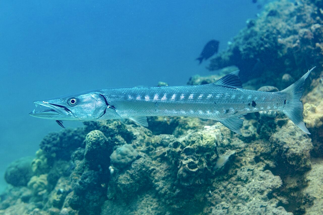
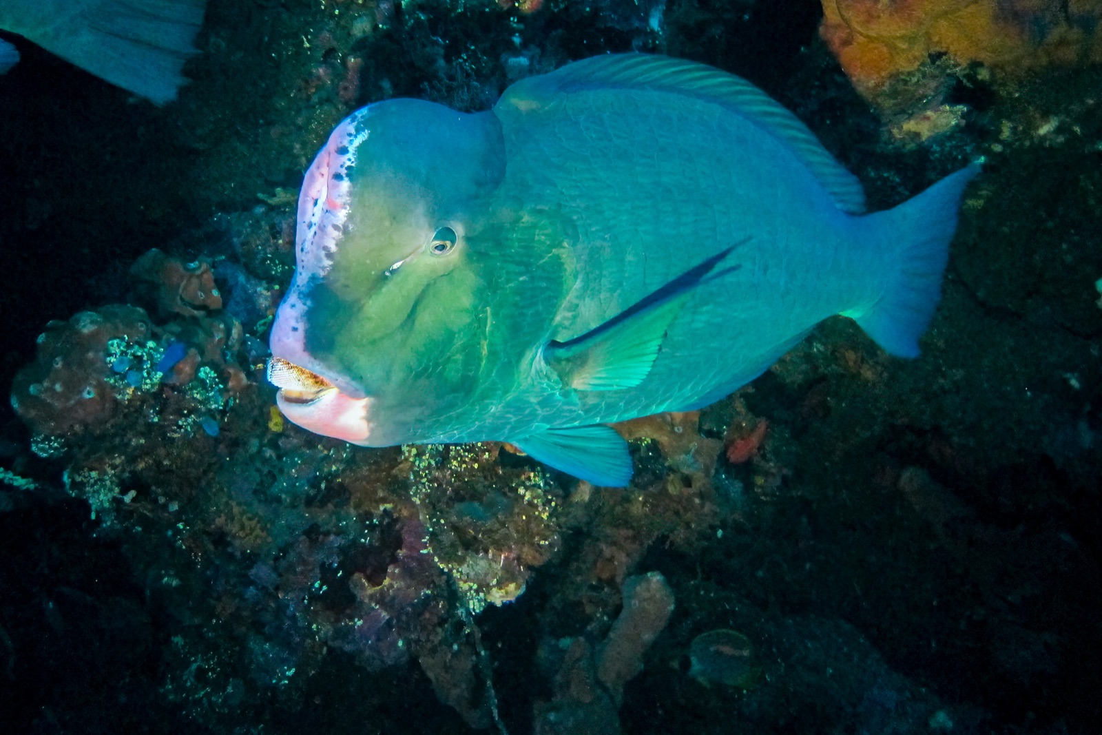
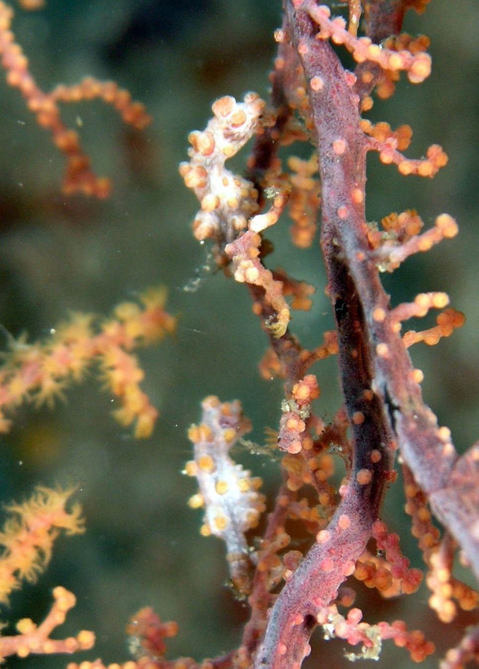
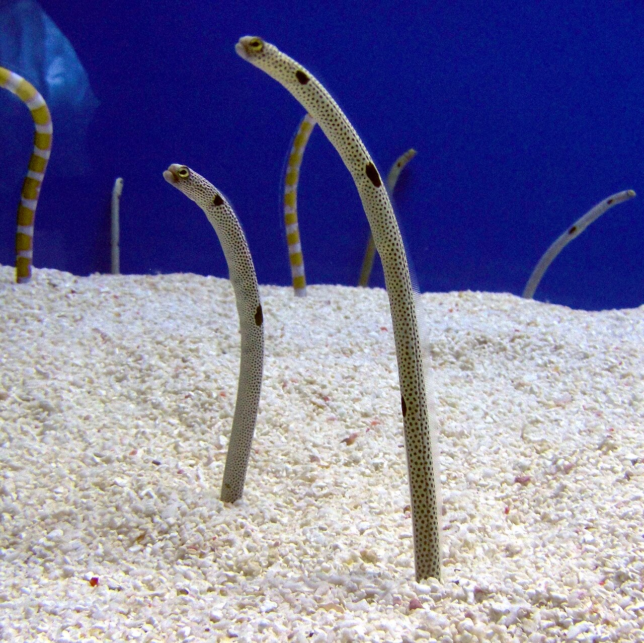
The Liberty may be the most accessible great wreck in the world: a US Army transport torpedoed in 1942, beached at Tulamben, then nudged back into the sea by the 1963 Mount Agung eruption. Sixty years of coral growth have turned the broken hull into a reef in the shape of a ship, its ribs and swim-throughs upholstered in gorgonians and black coral trees. At first light a resident school of bumphead parrotfish files out of the wreck like commuters, and dusk brings hunting trevally and flashlightfish deeper in the structure. Garden eels stipple the sand, pygmy seahorses hold on the fans, and barracuda hang off the stern. Depth options from five to thirty meters suit nearly everyone, which explains both its fame and its morning crowds.

Het moment waar je voor komt: Dawn bumphead parade; coral-encrusted swim-throughs; shore access with big-wreck atmosphere.

Topografie: Black volcanic sand slope with the broken 120-meter hull lying parallel to shore.

Stroming: Usually calm; occasional longshore current and surge in the shallows.

Instap: Walk-in over rounded black pebbles a short swim from the wreck; porters famously carry tanks to the water. Entries get sporty when swell runs.

Deze site is een gekarteerd wrak USAT Liberty — US Army transport ship (First World War-era cargo steamer), gezonken 1963. Volledige wrakgeschiedenis en duikgids →

Weet dit voordat je het water in gaat

Gevaren: Surge over the entry pebbles, silt inside confined sections, and crowds; penetration beyond open swim-throughs needs training.

Behoud: Heavy traffic is the site's main pressure; avoid touching the structure, and dive early or late to spread the load.

Nitrox: Het loont hier — profielen liggen in het bereik waarbij nitrox de no-stop tijd zinvol verlengt (mits je de opleiding hebt om het te gebruiken).

Wie je tegenkomt
Voor fotografen

Groothoek: ★★★★★ · Macro: ★★★★☆ — redacteursbeoordeling 1–5 van wat deze locatie biedt voor elke fotostijl

Australië, Nieuw-Zeeland & Oost-Azië

Cairns & the Ribbon ReefsNingaloo ReefCoral Sea & Osprey ReefOkinawa & the Kerama IslandsPoor Knights IslandsTownsville & the YongalaGreen IslandIzu Peninsula

Caribisch gebied & westelijke Atlantische Oceaan

BonaireCozumelRiviera Maya & the CenotesBelize Barrier ReefGrand CaymanIsla Mujeres & CancúnRoatánTiger Beach & Grand Bahama

Europa, Atlantische Oceaan & Middellandse Zee

Malta & GozoSilfra & IcelandThe AzoresCanary IslandsLarnaca & the ZenobiaScapa FlowArctic NorwayMadeira

Indische Oceaan & Oost-Afrika

North & South Malé AtollsAri AtollBaa Atoll & Hanifaru BayAliwal Shoal & UmkomaasMafia IslandMauritiusSeychellesSodwana Bay

Pacifische eilanden & Micronesië

PalauChuuk (Truk) LagoonFakaravaKona, HawaiʻiRangiroaTaveuni & Rainbow ReefBeqa Lagoon & Pacific HarbourEspiritu Santo

Rode Zee & Midden-Oosten

Sharm El Sheikh & Ras MohammedBrothers, Daedalus & St John'sDahabHurghada & El GounaMarsa Alam & the Deep SouthAqabaDaymaniyat IslandsMusandam Peninsula

Zuidoost-Azië & Coral Triangle

Bali & Nusa PenidaKomodoRaja AmpatSipadan & MabulAnilaoCoronKoh TaoLembeh Strait

De Amerika's & Oost-Stille Oceaan

Galápagos IslandsCocos IslandFlorida KeysSea of Cortez & Cabo PulmoSocorro & the RevillagigedosBritish ColumbiaCalifornia Channel IslandsCosta Rica Pacific Coast