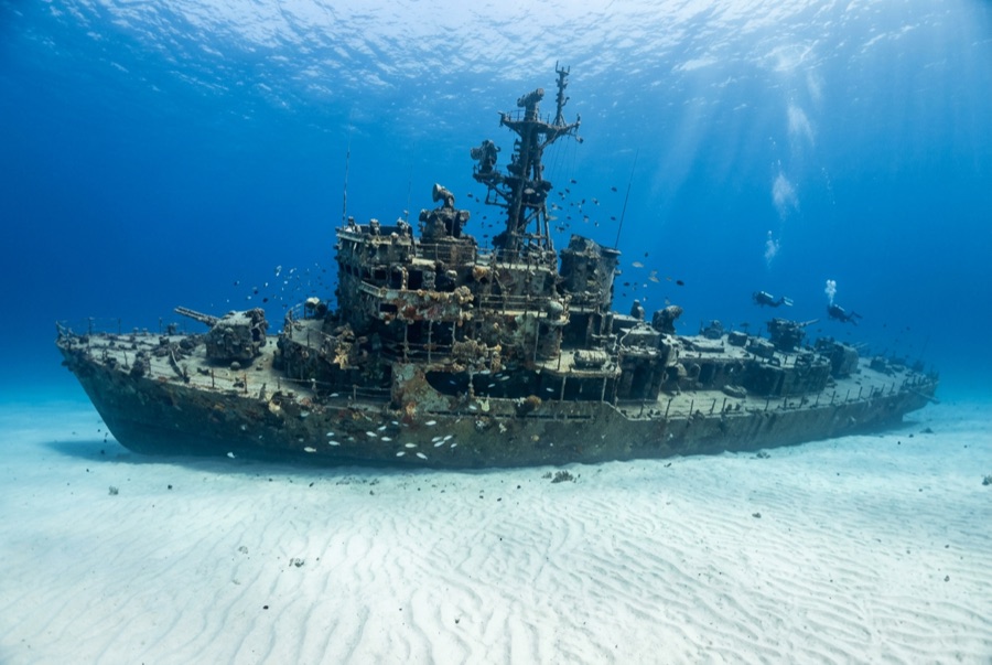
HTMS Sattakut
La profondeur correspond à la plage allant du sommet du site jusqu'à son maximum habituel ; le « niveau recommandé » est le niveau demandé en général par les opérateurs auprès des grandes agences, pas une règle légale. Les courants et la visibilité varient chaque jour, traitez donc tout cela comme des plages indicatives de planification.
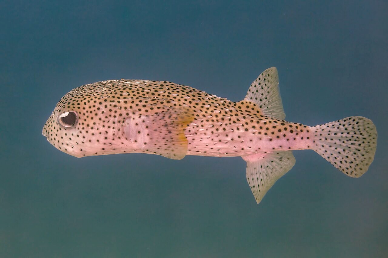
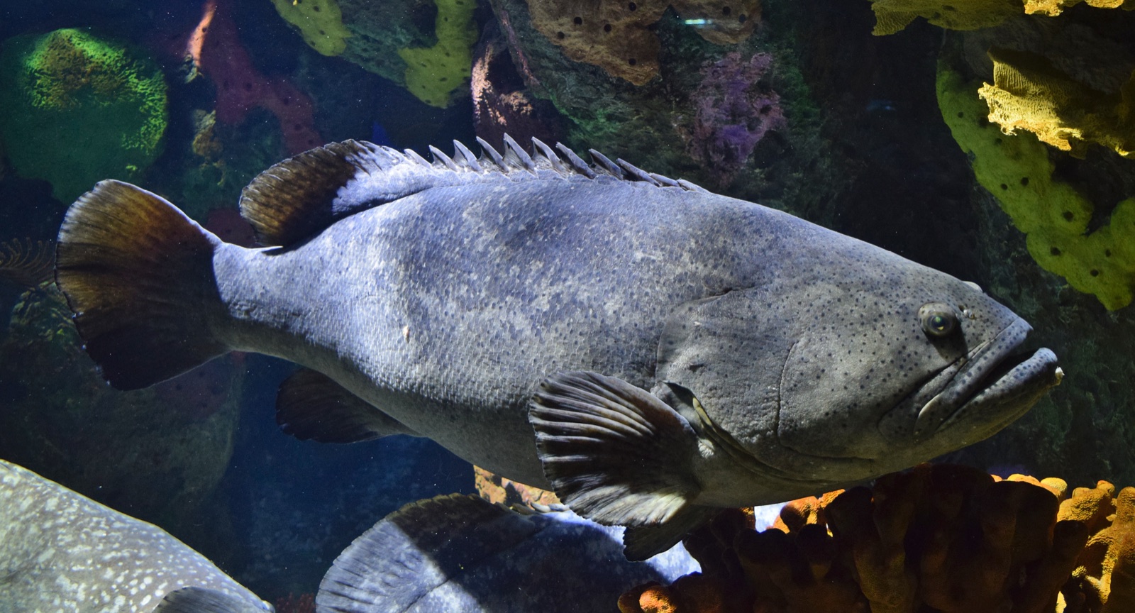
The Sattakut gives Koh Tao's graduates their first real wreck. Built in the United States as the landing craft infantry LCI-739 during the Second World War and later transferred to the Royal Thai Navy, she was cleaned and scuttled as an artificial reef in June 2011 and now sits upright on sand at about 30 m, her bow and stern guns still mounted and thoroughly photographed. The 48 m hull has settled into her role: schools of yellowtail barracuda and fusiliers over the deck, grouper in the companionways, porcupinefish loitering under the gun tubs. Prepared openings allow straightforward guided penetration for the trained; everyone else circuits the rails within comfortable Advanced limits.
Le moment pour lequel vous venez: Mounted bow and stern guns, an intact upright hull at Advanced depth, easy first wreck penetrations
Topographie: Steel hull upright on sand at about 30 m
Courant: Generally manageable; occasional current across the deck calls for the line.
Entrée: Scuttled near Hin Pee Wee off the west coast; buoy lines drop to the deck and dives often pair with the adjacent reef.
À savoir avant de plonger
Dangers: Depth for the certification level it attracts, silt inside, and line traffic at peak times; penetrate only with training and lights.
Conservation: Purpose-sunk for divers and now functioning habitat; graffiti scratching and souvenir prying undo the point.
Nitrox: Pertinent ici : les profils se situent dans la plage où le nitrox prolonge significativement le temps sans palier (avec la formation pour l'utiliser).
Qui vous croiserez

Great Barracuda
Porcupinefish

Lionfish
Bigfin Reef Squid
Giant Grouper

Nudibranchs

Clownfish & Anemonefish
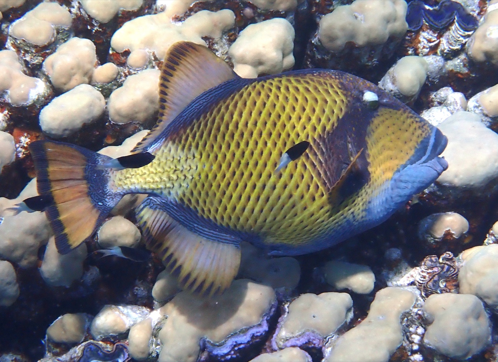
Titan Triggerfish
Également observé à proximité
Les espèces « cartographiées ici » ont été répertoriées par nos éditeurs à partir des sources indiquées sur cette page. Les comptages correspondent aux occurrences GBIF : observations enregistrées dans un rayon d'environ 5 km autour de la position cartographiée depuis 1990, comparées uniquement aux espèces de notre catalogue. Ils indiquent ce qui a été observé à cet endroit, sans garantir ce que vous y verrez.
Pour les photographes
Grand angle: ★★★★☆ · Macro: ★★☆☆☆ (note 1–5 des éditeurs sur ce que ce site offre à chaque style de prise de vue)