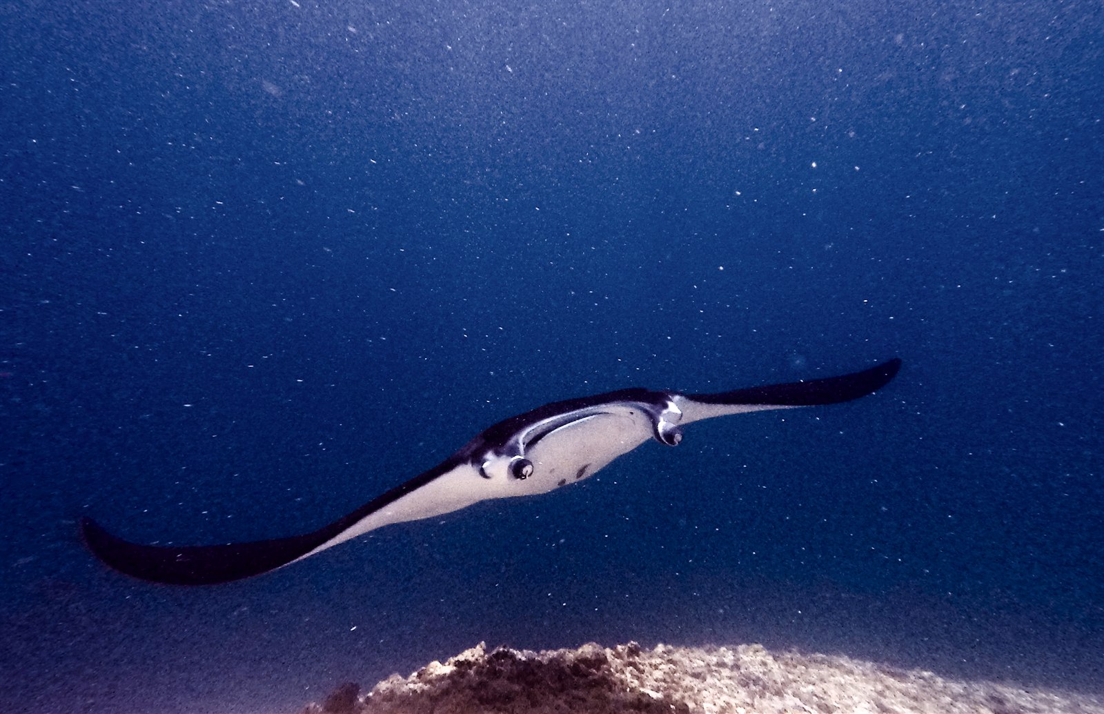
Manta Point (Karang Makassar)
Die Tiefe gibt den Bereich von der Oberkante des Tauchplatzes bis zur üblichen Maximaltiefe an; „empfohlene Zertifizierung" ist das von Anbietern üblicherweise geforderte Mainstream-Agenturniveau – keine gesetzliche Vorschrift. Strömungen und Sichtweite ändern sich täglich – behandle alle Angaben hier als Planungsbereiche.
Karang Makassar looks like nothing on the sounder, a drab rubble plain, and then the mantas appear. This is Komodo's manta highway: reef mantas commute along the flat to feed in the plankton stream and pause at bommie cleaning stations, sometimes singly, sometimes in chains of a dozen nose-to-tail. Divers drift with the tide at ten meters or so, staying low and letting the animals pass overhead; black morphs are a regular treat. Sightings happen year-round with a strong statistical lean toward the plankton-rich months around the northwest monsoon. Turtles, blue-spotted rays, and the odd bamboo shark fill the gaps between passes. Few dives this easy deliver animals this large.
Der Moment, für den du kommst: Chains of reef mantas; cleaning-station holds; an easy shallow drift suitable for most divers.
Topografie: A kilometers-long flat of coral rubble and scattered bommies in shallow water east of Komodo island.
Strömung: A long conveyor-belt drift over the rubble; speed varies from strolling pace to brisk with the tide.
Was du wissen solltest, bevor du ins Wasser gehst
Gefahren: Boat traffic over a shallow drift line and occasional quick current; surface with an SMB well clear of the channel.
Naturschutz: Manta code of conduct applies: no chasing, no blocking their path, keep low and off the cleaning stations; the park polices boat numbers at peak times.
Wen du triffst
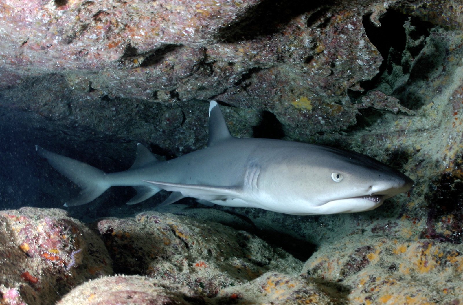
Whitetip Reef Shark
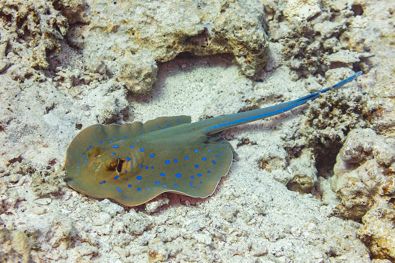
Blue-Spotted Ribbontail Ray
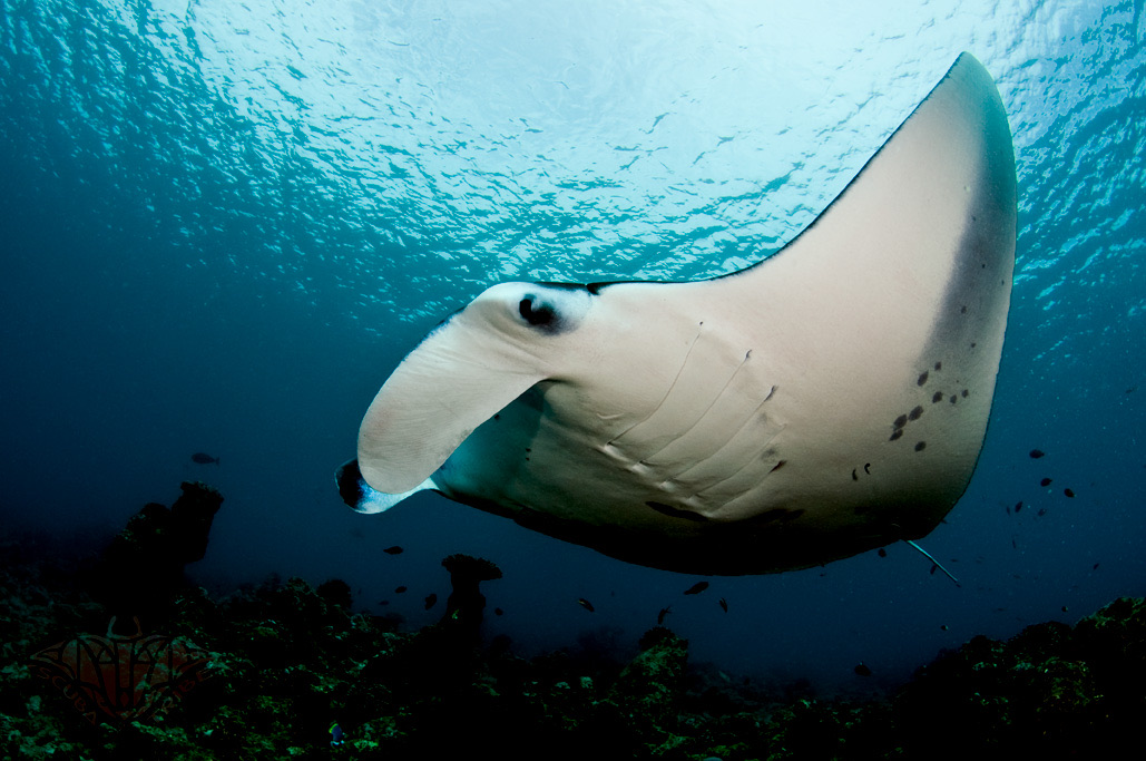
Reef Manta Ray
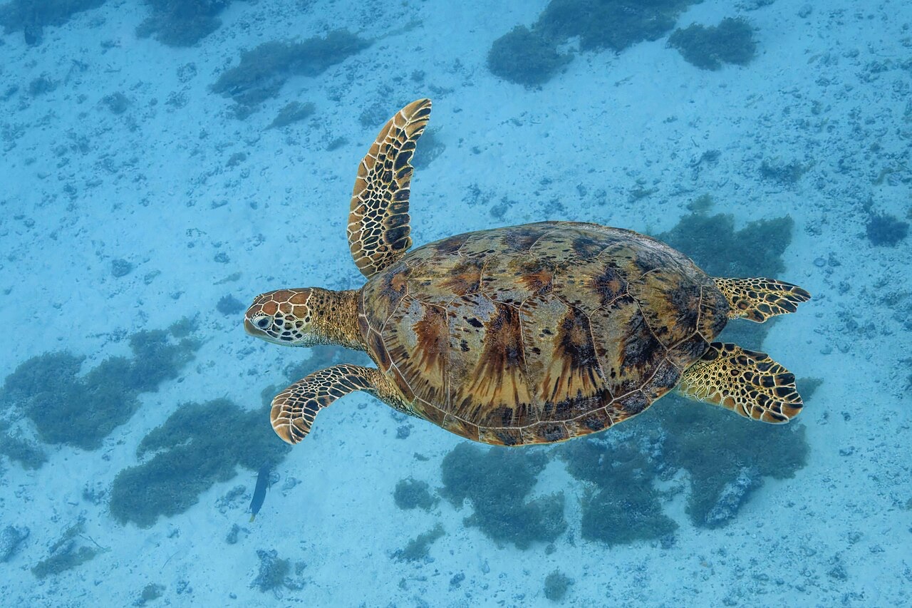
Green Sea Turtle

Nudibranchs

Clownfish & Anemonefish

Lionfish
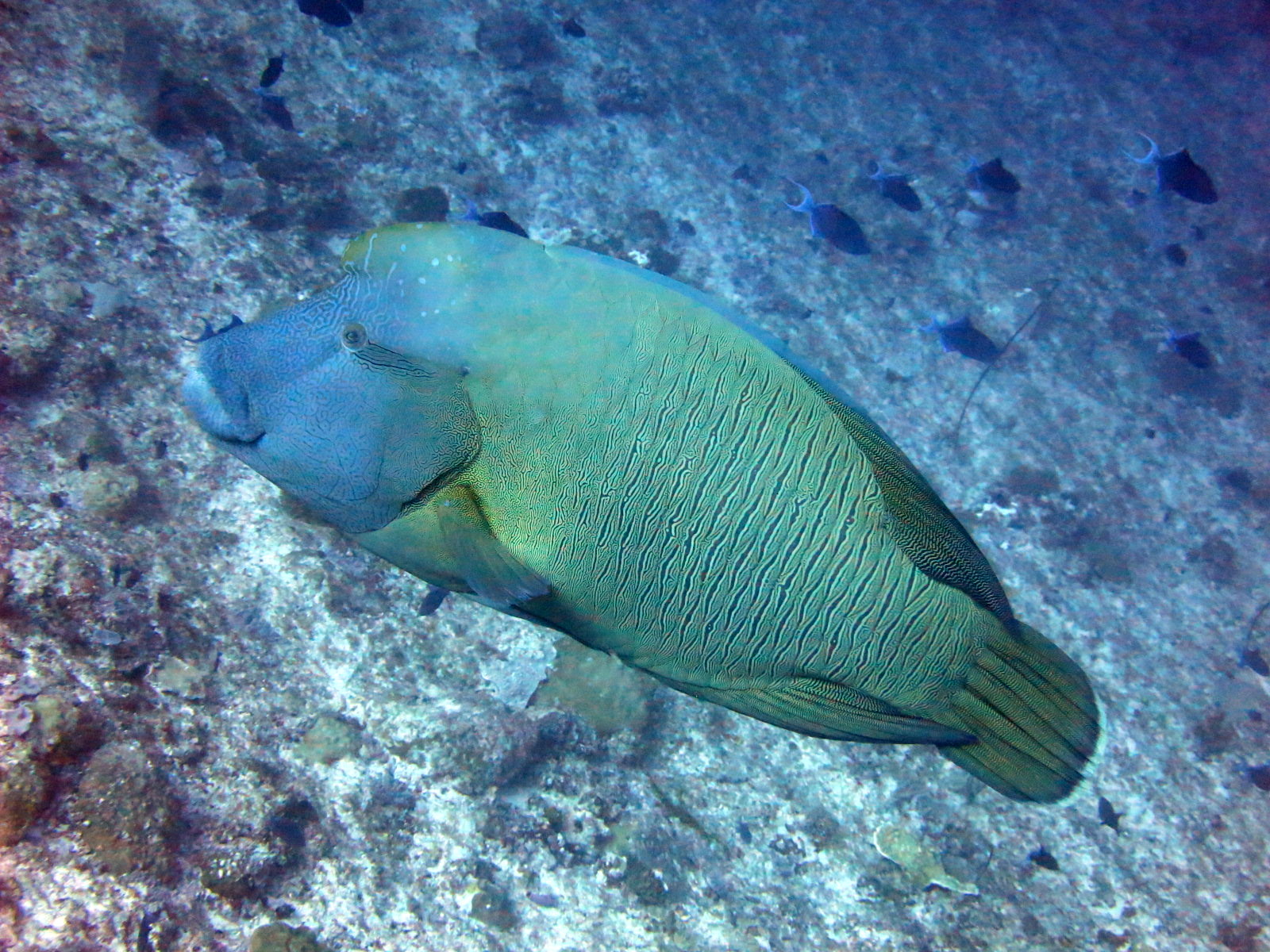
Napoleon (Humphead) Wrasse
Auch in der Nähe nachgewiesen
„Hier kartiert" – Arten wurden von unseren Redakteuren anhand der Quellen auf dieser Seite erfasst. Die Zahlen sind GBIF-Vorkommensdatensätze: Beobachtungen, die seit 1990 im Umkreis von etwa 5 km um die kartierte Position protokolliert wurden, ausschließlich abgeglichen mit den Arten in unserem Katalog. Sie zeigen, was dort gesichtet wurde – keine Garantie, was du sehen wirst.
Für Fotografen
Weitwinkel: ★★★★★ · Makro: ★☆☆☆☆ (Redaktionelle 1–5-Bewertung, was dieser Platz für jeden Fotografie-Stil bietet)