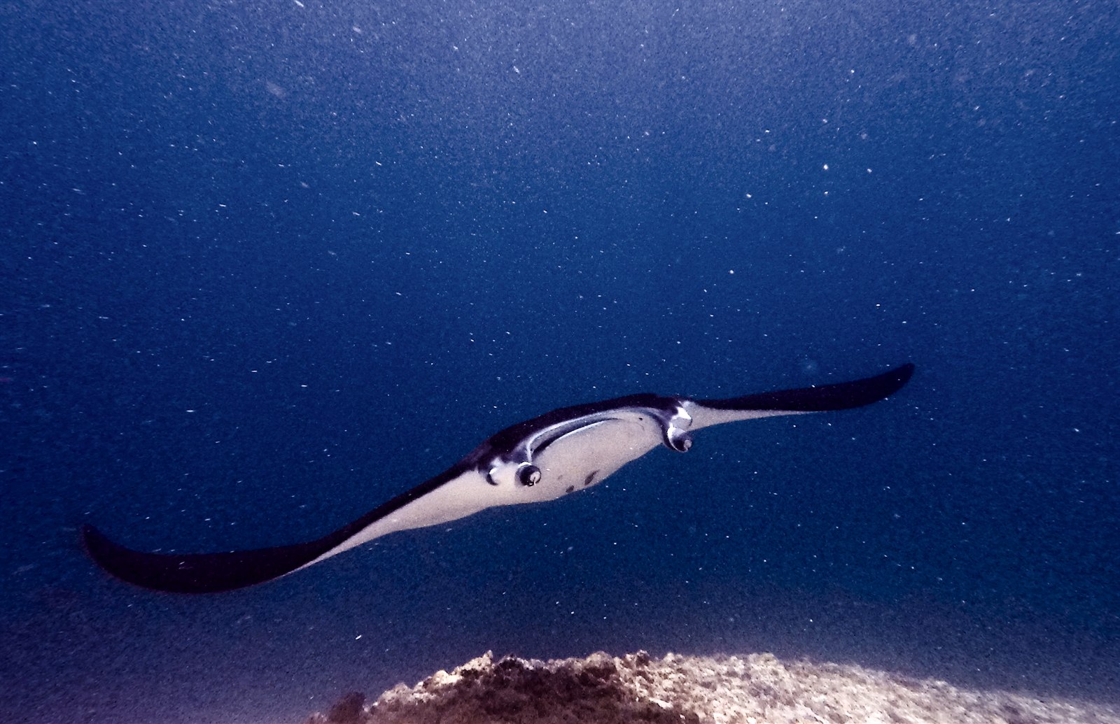
Manta Point (Karang Makassar)
La profundidad es el rango desde la cima del punto de buceo hasta su máximo habitual; la "certificación recomendada" es el nivel que los operadores suelen pedir según las agencias principales, no una norma legal. Las corrientes y la visibilidad cambian a diario, así que trata todo esto como rangos de planificación.
Karang Makassar looks like nothing on the sounder, a drab rubble plain, and then the mantas appear. This is Komodo's manta highway: reef mantas commute along the flat to feed in the plankton stream and pause at bommie cleaning stations, sometimes singly, sometimes in chains of a dozen nose-to-tail. Divers drift with the tide at ten meters or so, staying low and letting the animals pass overhead; black morphs are a regular treat. Sightings happen year-round with a strong statistical lean toward the plankton-rich months around the northwest monsoon. Turtles, blue-spotted rays, and the odd bamboo shark fill the gaps between passes. Few dives this easy deliver animals this large.
El momento por el que vienes: Chains of reef mantas; cleaning-station holds; an easy shallow drift suitable for most divers.
Topografía: A kilometers-long flat of coral rubble and scattered bommies in shallow water east of Komodo island.
Corriente: A long conveyor-belt drift over the rubble; speed varies from strolling pace to brisk with the tide.
Lo que debes saber antes de tirarte al agua
Riesgos: Boat traffic over a shallow drift line and occasional quick current; surface with an SMB well clear of the channel.
Conservación: Manta code of conduct applies: no chasing, no blocking their path, keep low and off the cleaning stations; the park polices boat numbers at peak times.
A quién encontrarás
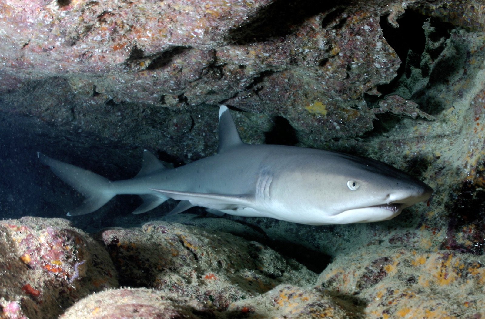
Whitetip Reef Shark
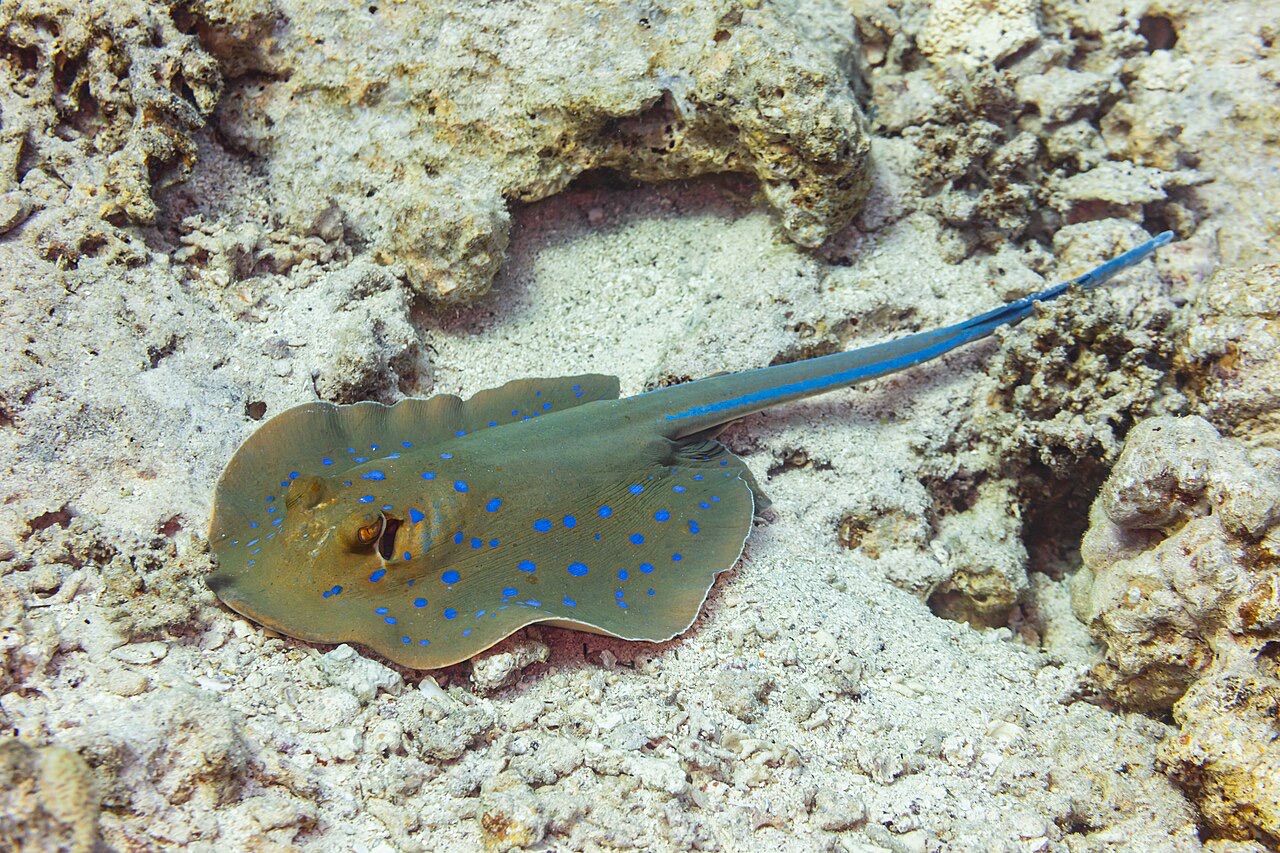
Blue-Spotted Ribbontail Ray
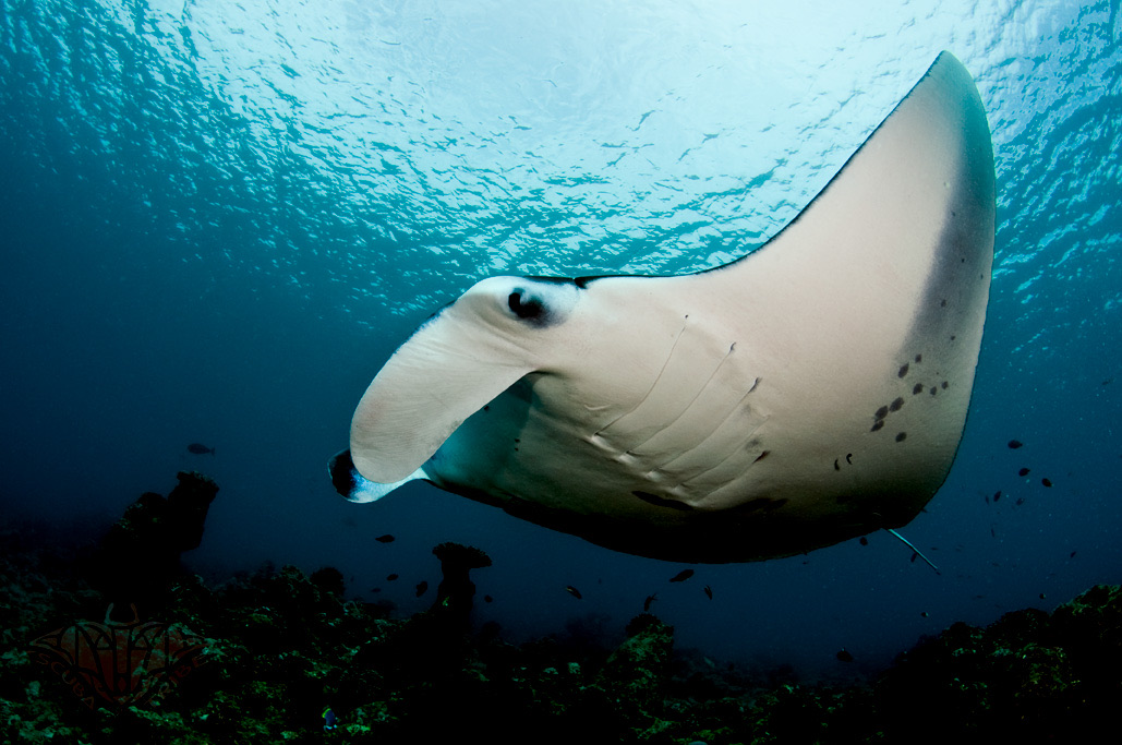
Reef Manta Ray
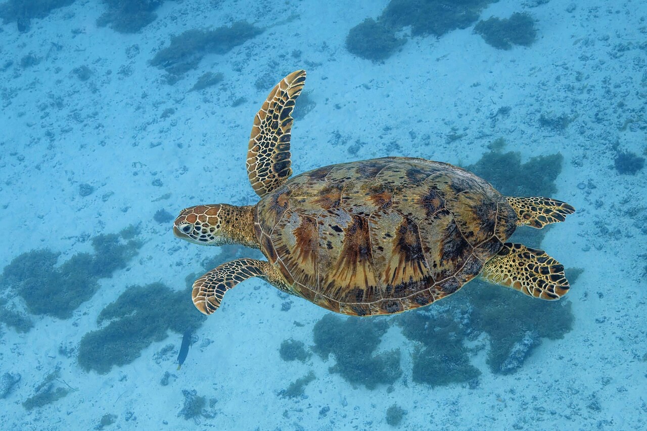
Green Sea Turtle

Nudibranchs

Clownfish & Anemonefish

Lionfish
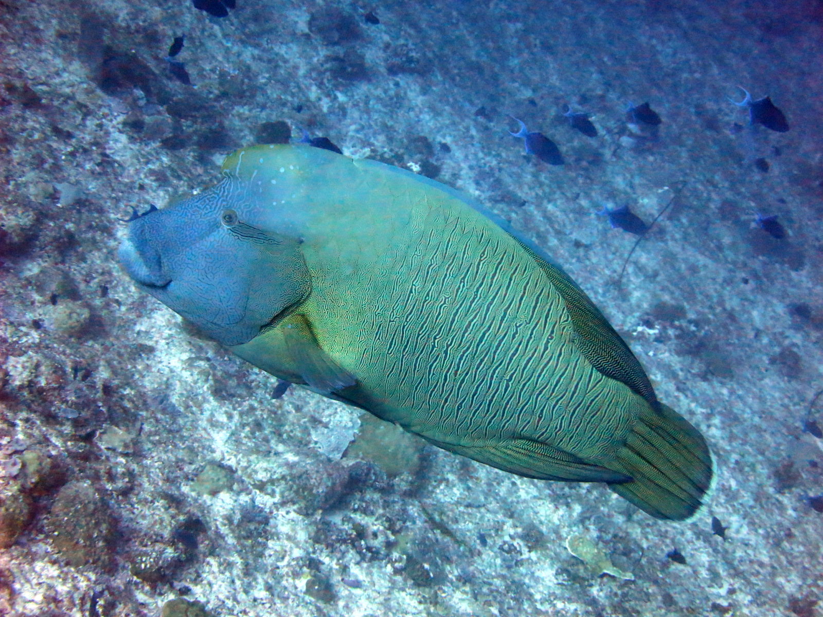
Napoleon (Humphead) Wrasse
También registrado cerca
Las especies "aquí registradas" fueron añadidas por nuestros editores a partir de las fuentes de esta página. Los recuentos son registros de ocurrencia de GBIF: observaciones anotadas en un radio de unos 5 km de la posición registrada desde 1990, cotejadas únicamente con las especies de nuestro catálogo. Muestran lo que se ha avistado allí, no una garantía de lo que verás.
Para fotógrafos
Gran angular: ★★★★★ · Macro: ★☆☆☆☆ (valoración de 1 a 5 de los editores sobre lo que ofrece este sitio para cada estilo de fotografía)