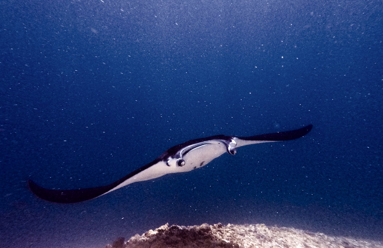
Manta Point (Karang Makassar)
Kedalaman adalah rentang dari bagian teratas lokasi hingga maksimum biasanya; "sertifikasi yang disarankan" adalah level agen arus utama yang biasanya diminta operator, bukan aturan hukum. Arus dan visibilitas berubah setiap hari, jadi anggap semua ini sebagai rentang perencanaan.
Karang Makassar looks like nothing on the sounder, a drab rubble plain, and then the mantas appear. This is Komodo's manta highway: reef mantas commute along the flat to feed in the plankton stream and pause at bommie cleaning stations, sometimes singly, sometimes in chains of a dozen nose-to-tail. Divers drift with the tide at ten meters or so, staying low and letting the animals pass overhead; black morphs are a regular treat. Sightings happen year-round with a strong statistical lean toward the plankton-rich months around the northwest monsoon. Turtles, blue-spotted rays, and the odd bamboo shark fill the gaps between passes. Few dives this easy deliver animals this large.
Momen yang Anda nantikan: Chains of reef mantas; cleaning-station holds; an easy shallow drift suitable for most divers.
Topografi: A kilometers-long flat of coral rubble and scattered bommies in shallow water east of Komodo island.
Arus: A long conveyor-belt drift over the rubble; speed varies from strolling pace to brisk with the tide.
Ketahui sebelum kamu nyebur
Bahaya: Boat traffic over a shallow drift line and occasional quick current; surface with an SMB well clear of the channel.
Konservasi: Manta code of conduct applies: no chasing, no blocking their path, keep low and off the cleaning stations; the park polices boat numbers at peak times.
Siapa yang akan kamu temui
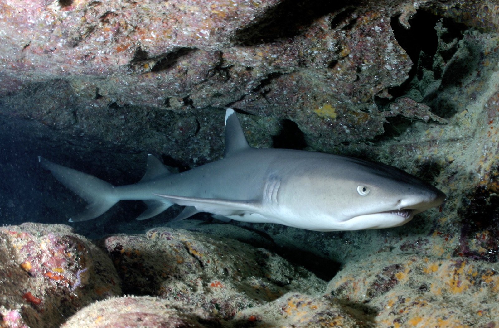
Whitetip Reef Shark
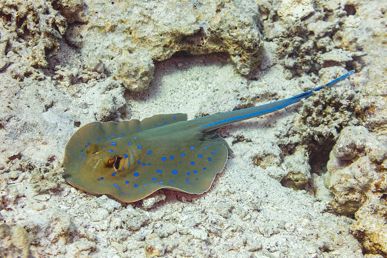
Blue-Spotted Ribbontail Ray
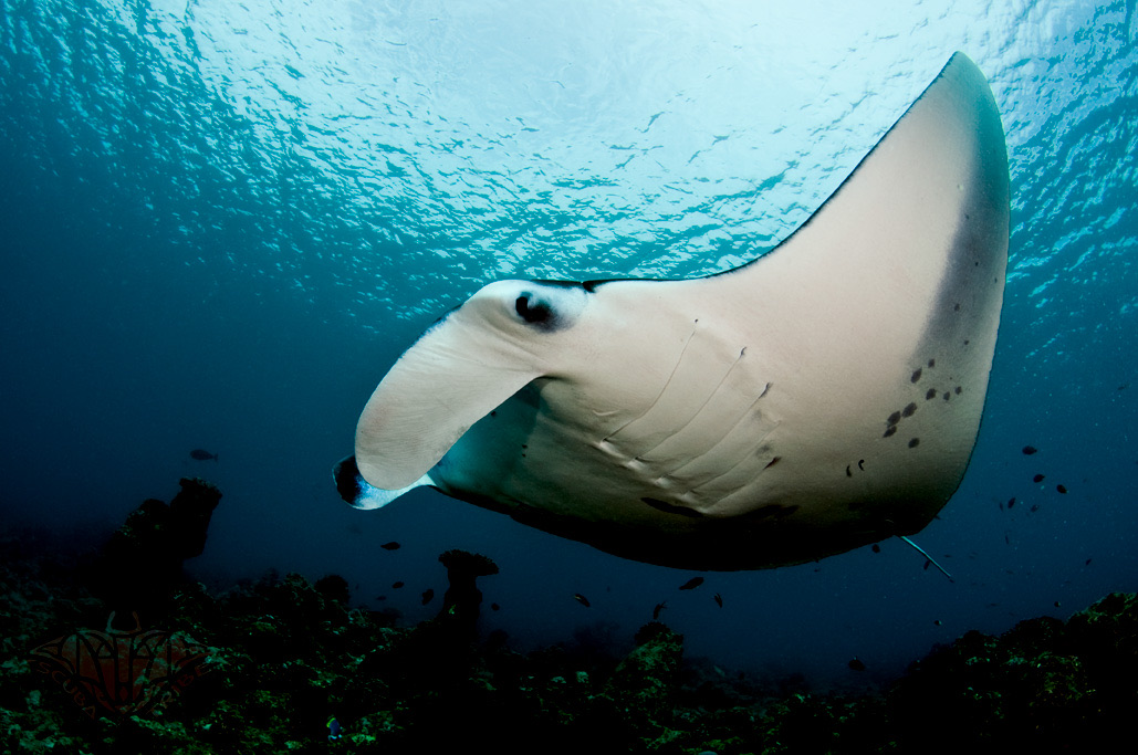
Reef Manta Ray
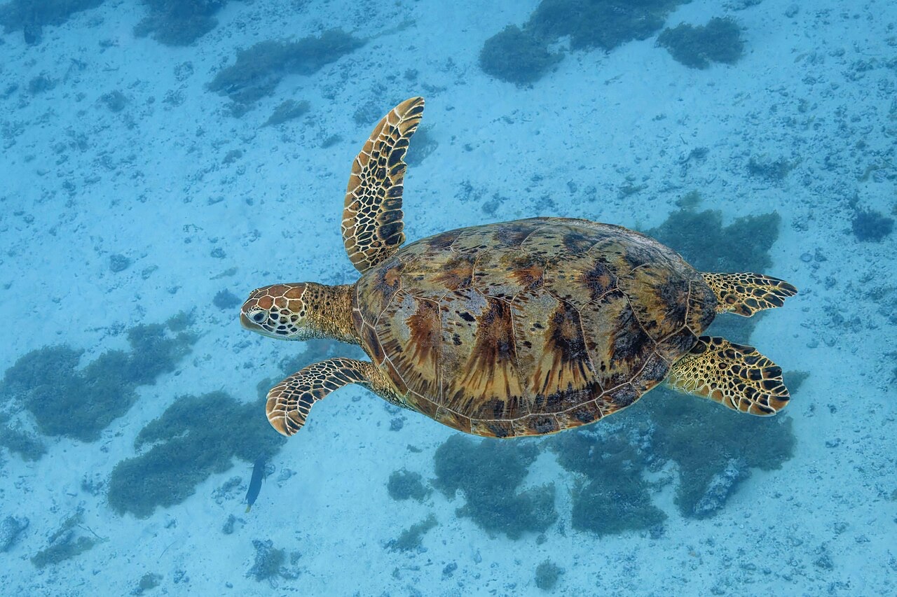
Green Sea Turtle

Nudibranchs

Clownfish & Anemonefish

Lionfish
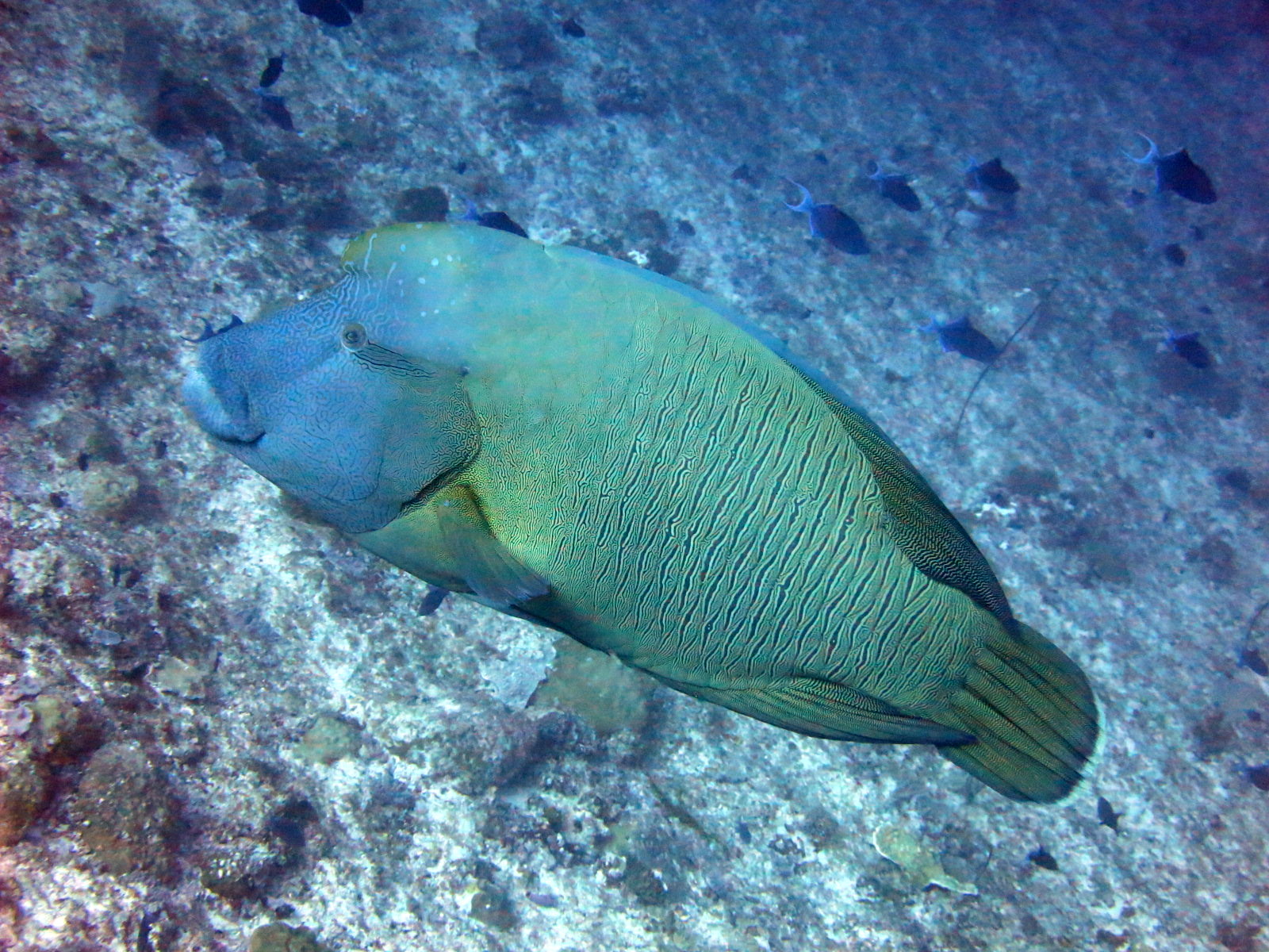
Napoleon (Humphead) Wrasse
Juga tercatat di sekitarnya
Spesies yang "Terpetakan di sini" dicantumkan oleh editor kami dari sumber-sumber di halaman ini. Jumlahnya merupakan catatan kemunculan GBIF: observasi yang dicatat dalam radius sekitar 5 km dari posisi yang terpetakan sejak 1990, dicocokkan hanya dengan spesies dalam katalog kami. Data ini menunjukkan apa yang pernah terlihat di sana, bukan jaminan apa yang akan Anda temukan.
Untuk fotografer
Wide angle: ★★★★★ · Makro: ★☆☆☆☆ (penilaian 1–5 dari editor tentang apa yang ditawarkan lokasi ini untuk setiap gaya pemotretan)