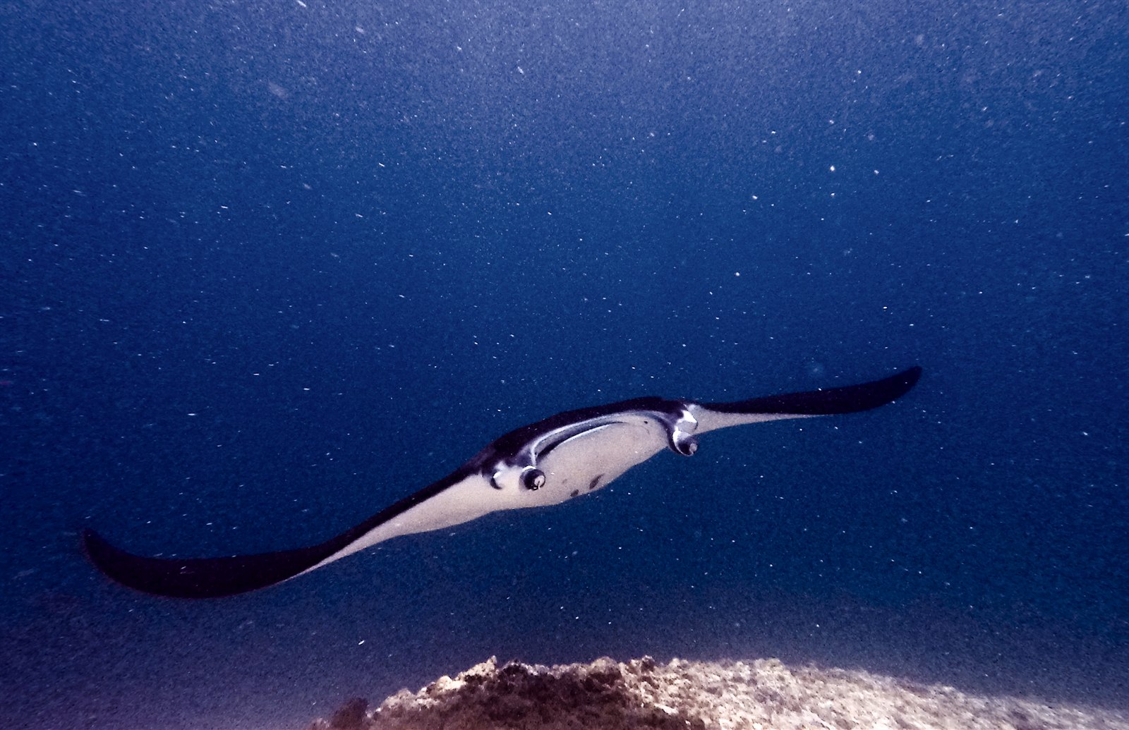
Manta Point (Karang Makassar)
La profondità indica l'intervallo dalla sommità del sito al suo massimo abituale; il "brevetto consigliato" è il livello richiesto dalla maggior parte degli operatori delle principali agenzie, non una norma di legge. Correnti e visibilità cambiano ogni giorno, quindi considera tutto come intervalli di pianificazione.
Karang Makassar looks like nothing on the sounder, a drab rubble plain, and then the mantas appear. This is Komodo's manta highway: reef mantas commute along the flat to feed in the plankton stream and pause at bommie cleaning stations, sometimes singly, sometimes in chains of a dozen nose-to-tail. Divers drift with the tide at ten meters or so, staying low and letting the animals pass overhead; black morphs are a regular treat. Sightings happen year-round with a strong statistical lean toward the plankton-rich months around the northwest monsoon. Turtles, blue-spotted rays, and the odd bamboo shark fill the gaps between passes. Few dives this easy deliver animals this large.
Il momento che aspettavi: Chains of reef mantas; cleaning-station holds; an easy shallow drift suitable for most divers.
Topografia: A kilometers-long flat of coral rubble and scattered bommies in shallow water east of Komodo island.
Corrente: A long conveyor-belt drift over the rubble; speed varies from strolling pace to brisk with the tide.
Sapere prima di tuffarsi
Pericoli: Boat traffic over a shallow drift line and occasional quick current; surface with an SMB well clear of the channel.
Conservazione: Manta code of conduct applies: no chasing, no blocking their path, keep low and off the cleaning stations; the park polices boat numbers at peak times.
Chi incontrerai
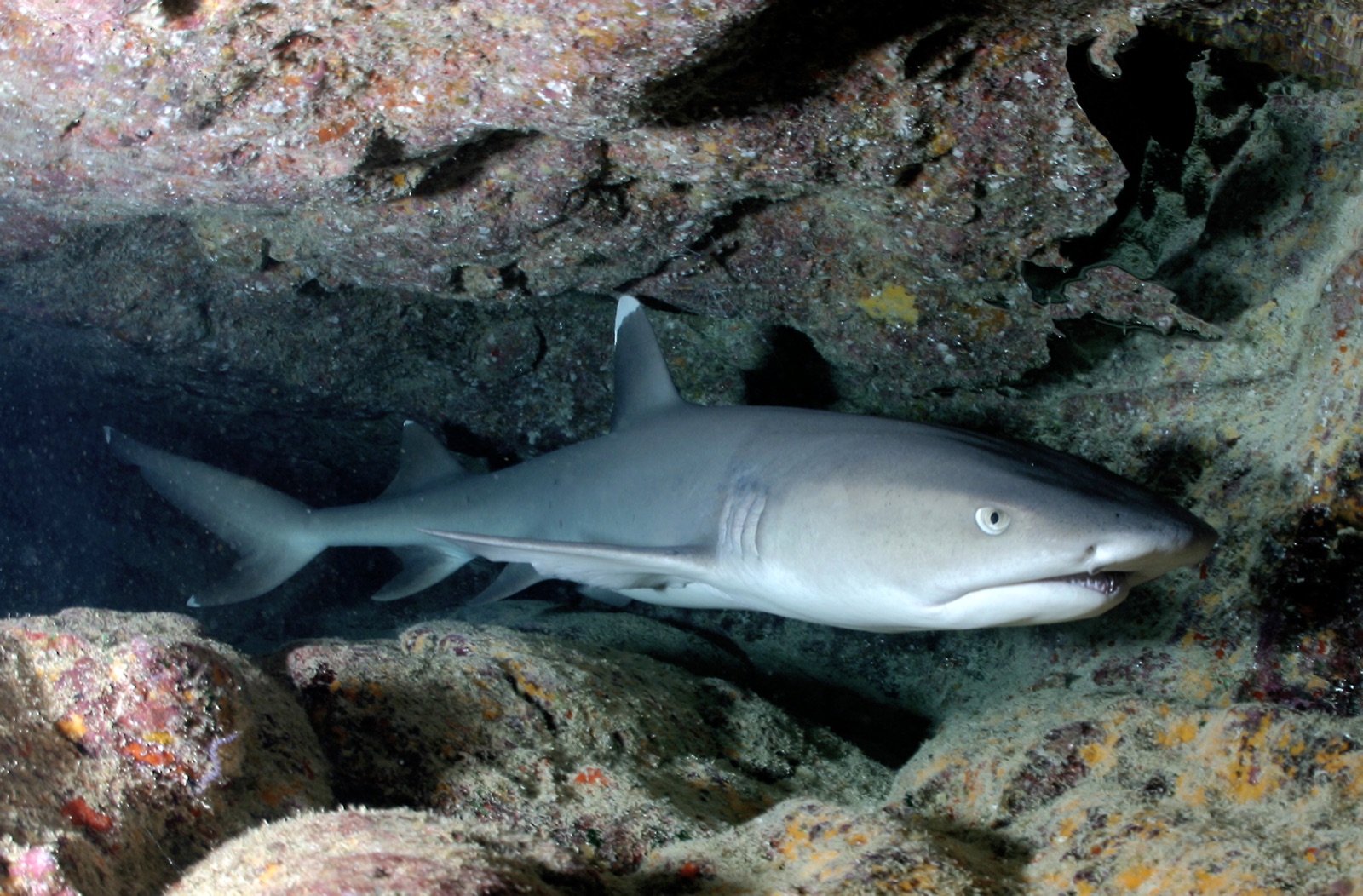
Whitetip Reef Shark
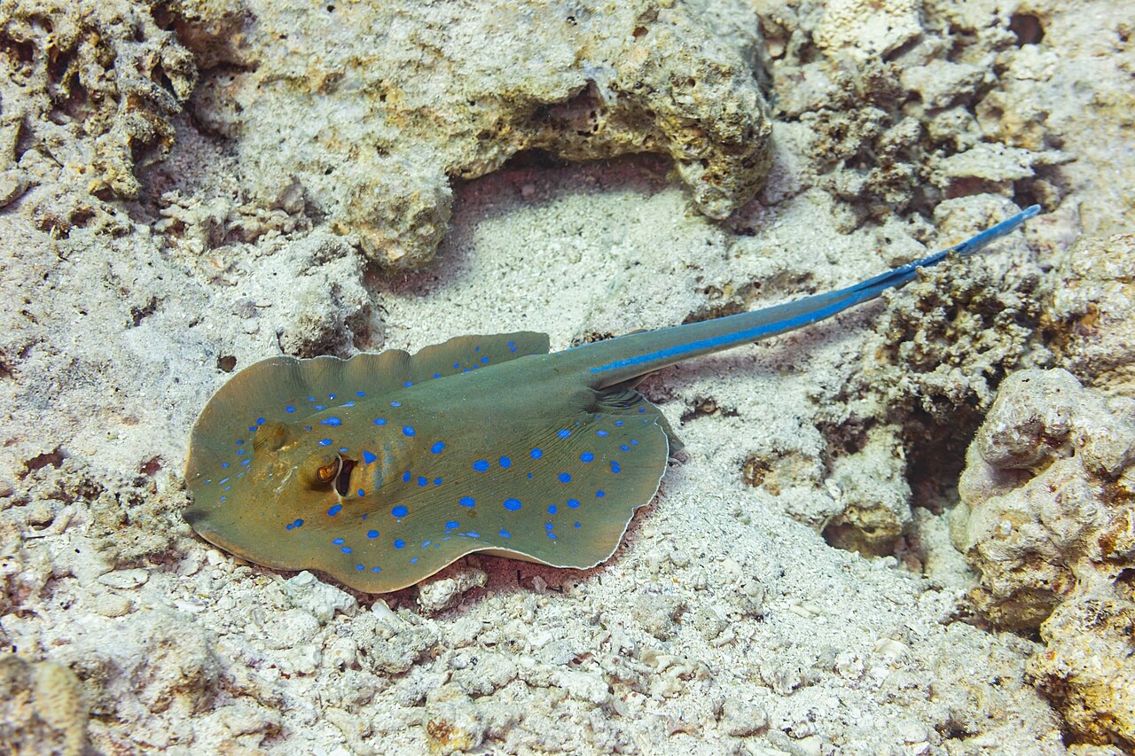
Blue-Spotted Ribbontail Ray
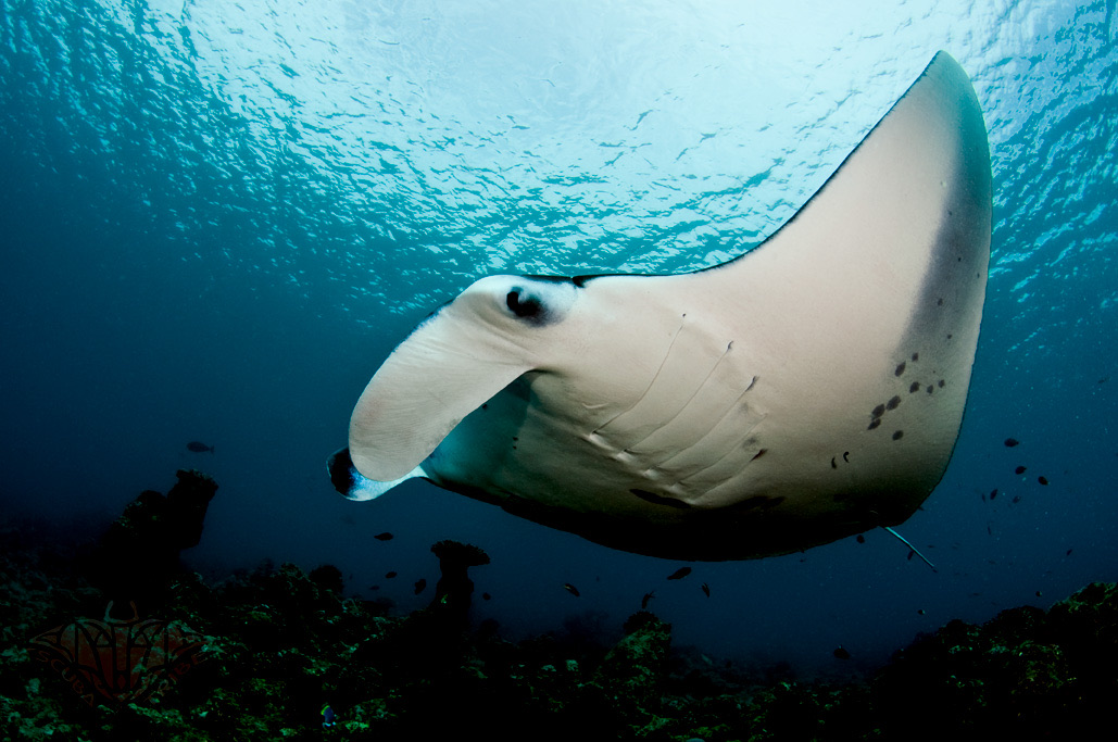
Reef Manta Ray
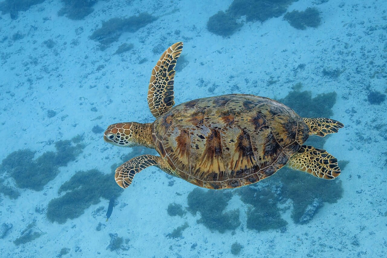
Green Sea Turtle

Nudibranchs

Clownfish & Anemonefish

Lionfish
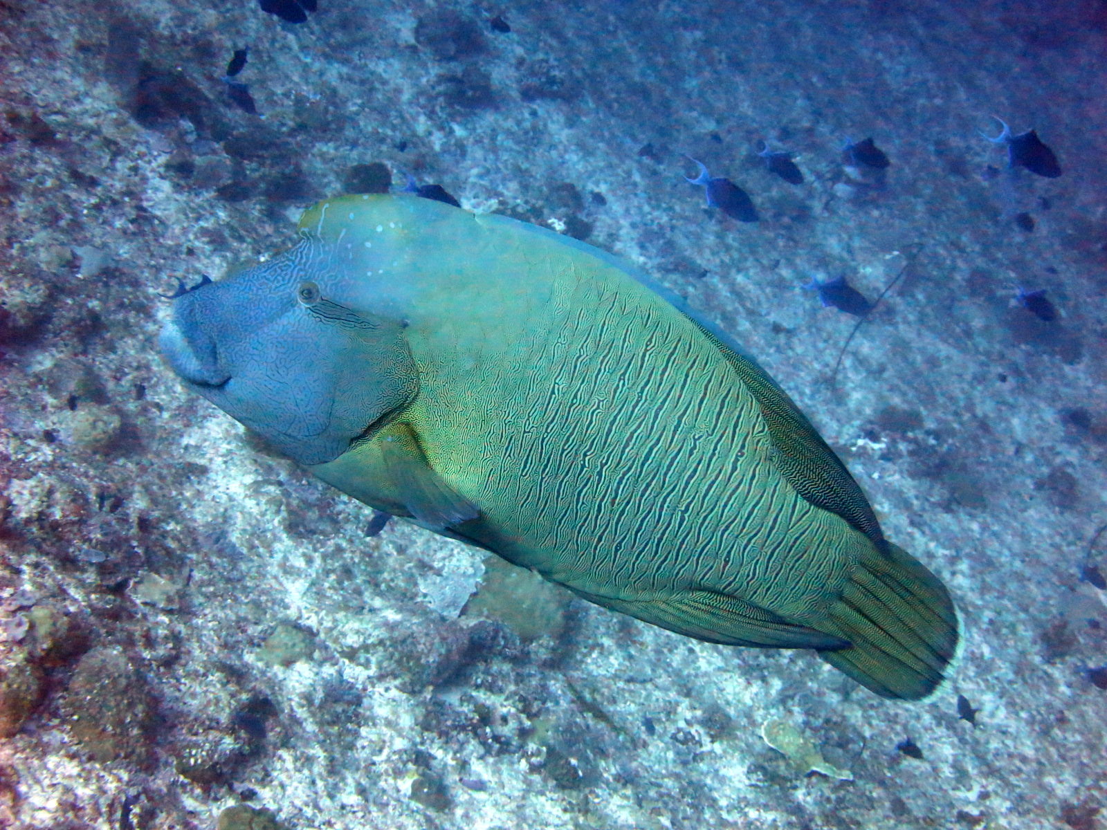
Napoleon (Humphead) Wrasse
Registrate anche nelle vicinanze
Le specie "schedate qui" sono state inserite dai nostri redattori a partire dalle fonti indicate in questa pagina. I conteggi sono record di occorrenza GBIF: osservazioni registrate entro circa 5 km dalla posizione indicata in carta a partire dal 1990, confrontate esclusivamente con le specie presenti nel nostro catalogo. Mostrano ciò che è stato avvistato in quel luogo, non una garanzia di ciò che vedrete.
Per i fotografi
Grandangolo: ★★★★★ · Macro: ★☆☆☆☆ (valutazione da 1 a 5 dei redattori su ciò che questo sito offre per ogni stile di ripresa)