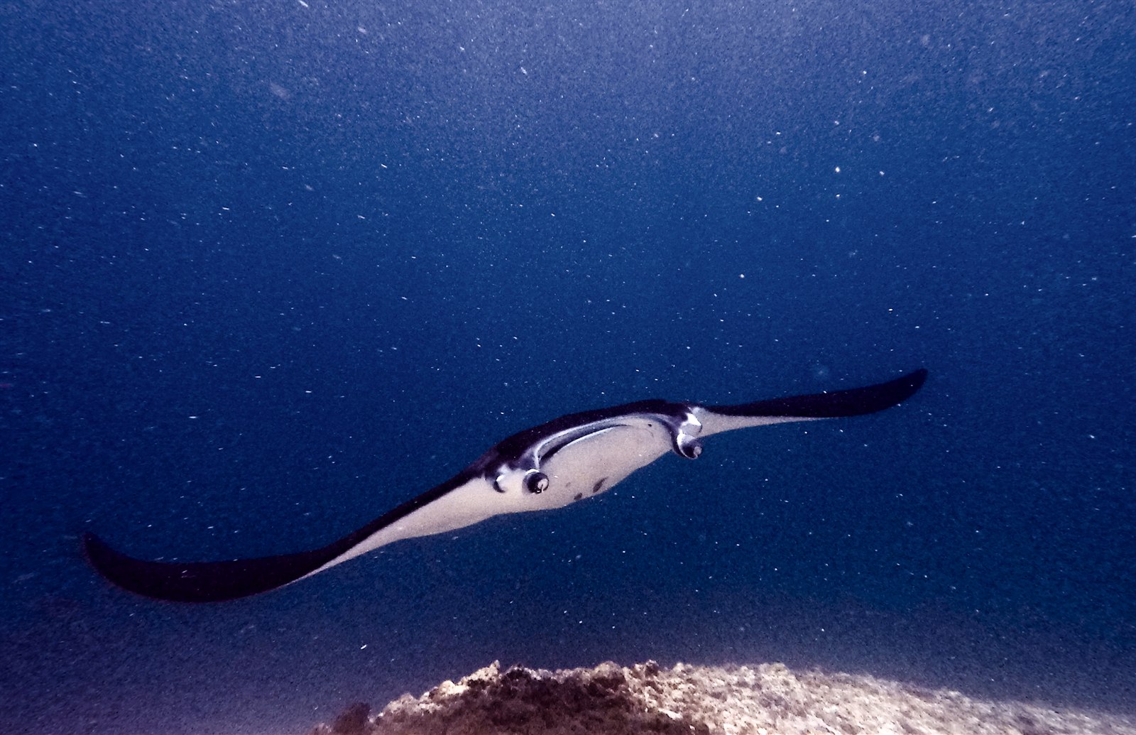
Manta Point (Karang Makassar)
水深はサイト上部から通常の最大深度までの範囲です。「推奨資格」は多くのオペレーターが求めるメインストリームエージェンシーのレベルであり、法的な義務ではありません。潮流と透明度は日々変わるため、ここに記載の数値はあくまで計画のための目安としてお使いください。
Karang Makassar looks like nothing on the sounder, a drab rubble plain, and then the mantas appear. This is Komodo's manta highway: reef mantas commute along the flat to feed in the plankton stream and pause at bommie cleaning stations, sometimes singly, sometimes in chains of a dozen nose-to-tail. Divers drift with the tide at ten meters or so, staying low and letting the animals pass overhead; black morphs are a regular treat. Sightings happen year-round with a strong statistical lean toward the plankton-rich months around the northwest monsoon. Turtles, blue-spotted rays, and the odd bamboo shark fill the gaps between passes. Few dives this easy deliver animals this large.
その瞬間のために: Chains of reef mantas; cleaning-station holds; an easy shallow drift suitable for most divers.
地形: A kilometers-long flat of coral rubble and scattered bommies in shallow water east of Komodo island.
流れ(カレント): A long conveyor-belt drift over the rubble; speed varies from strolling pace to brisk with the tide.
エントリー前に知っておこう
危険生物・リスク: Boat traffic over a shallow drift line and occasional quick current; surface with an SMB well clear of the channel.
保全: Manta code of conduct applies: no chasing, no blocking their path, keep low and off the cleaning stations; the park polices boat numbers at peak times.
出会える生物
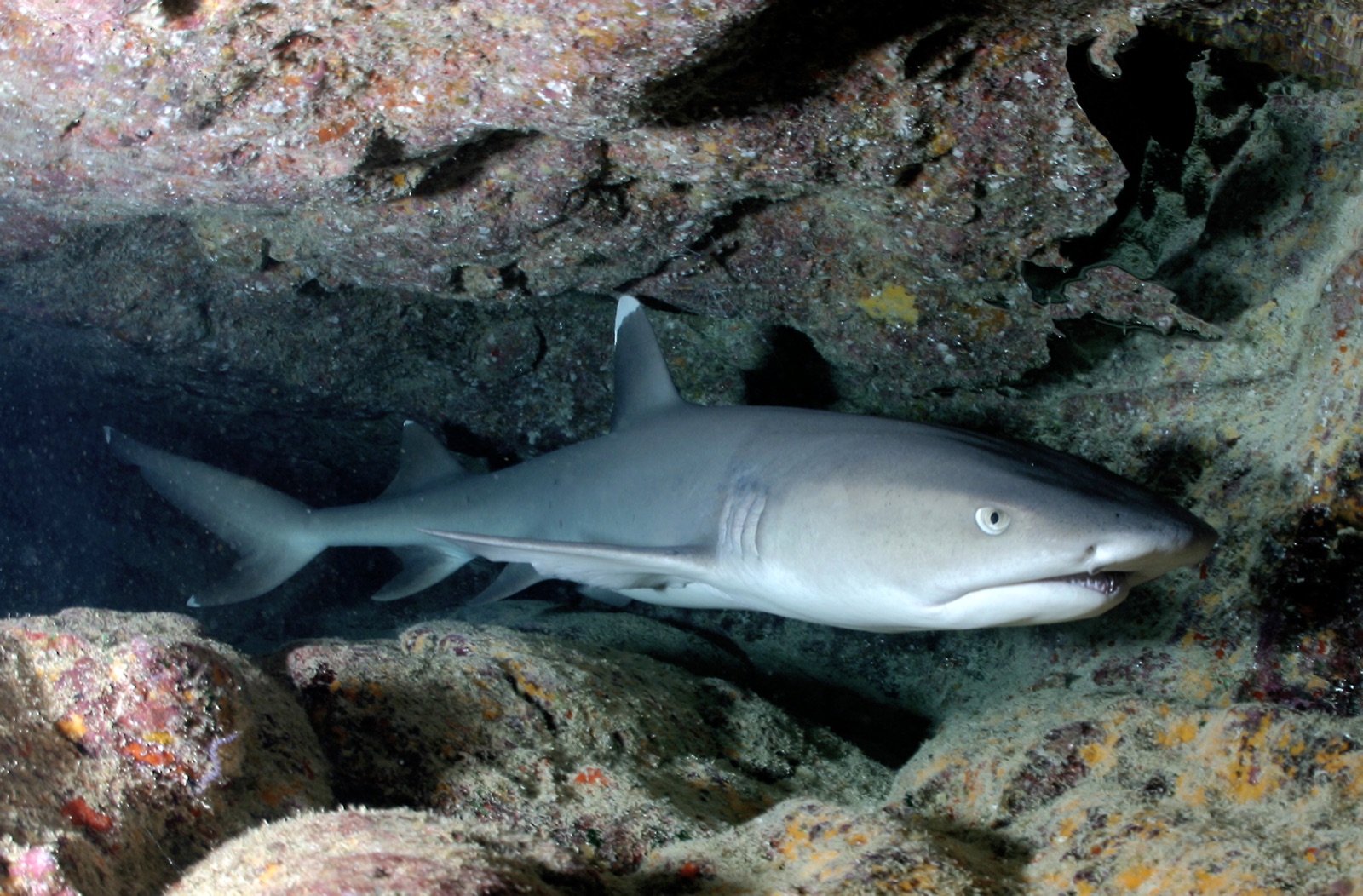
Whitetip Reef Shark
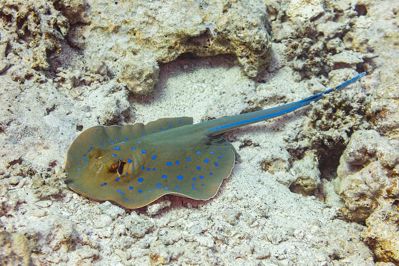
Blue-Spotted Ribbontail Ray
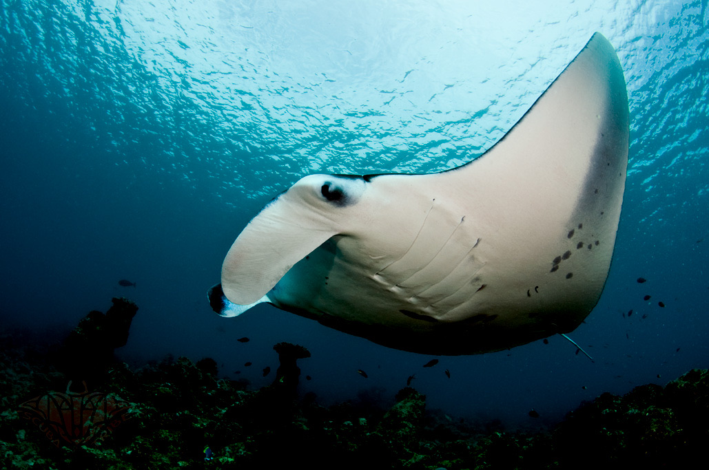
Reef Manta Ray
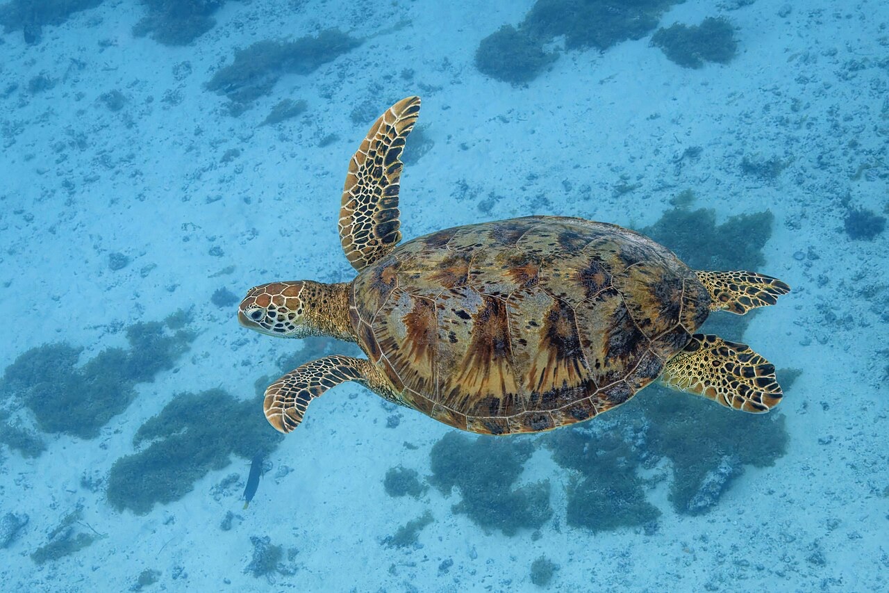
Green Sea Turtle

Nudibranchs

Clownfish & Anemonefish

Lionfish
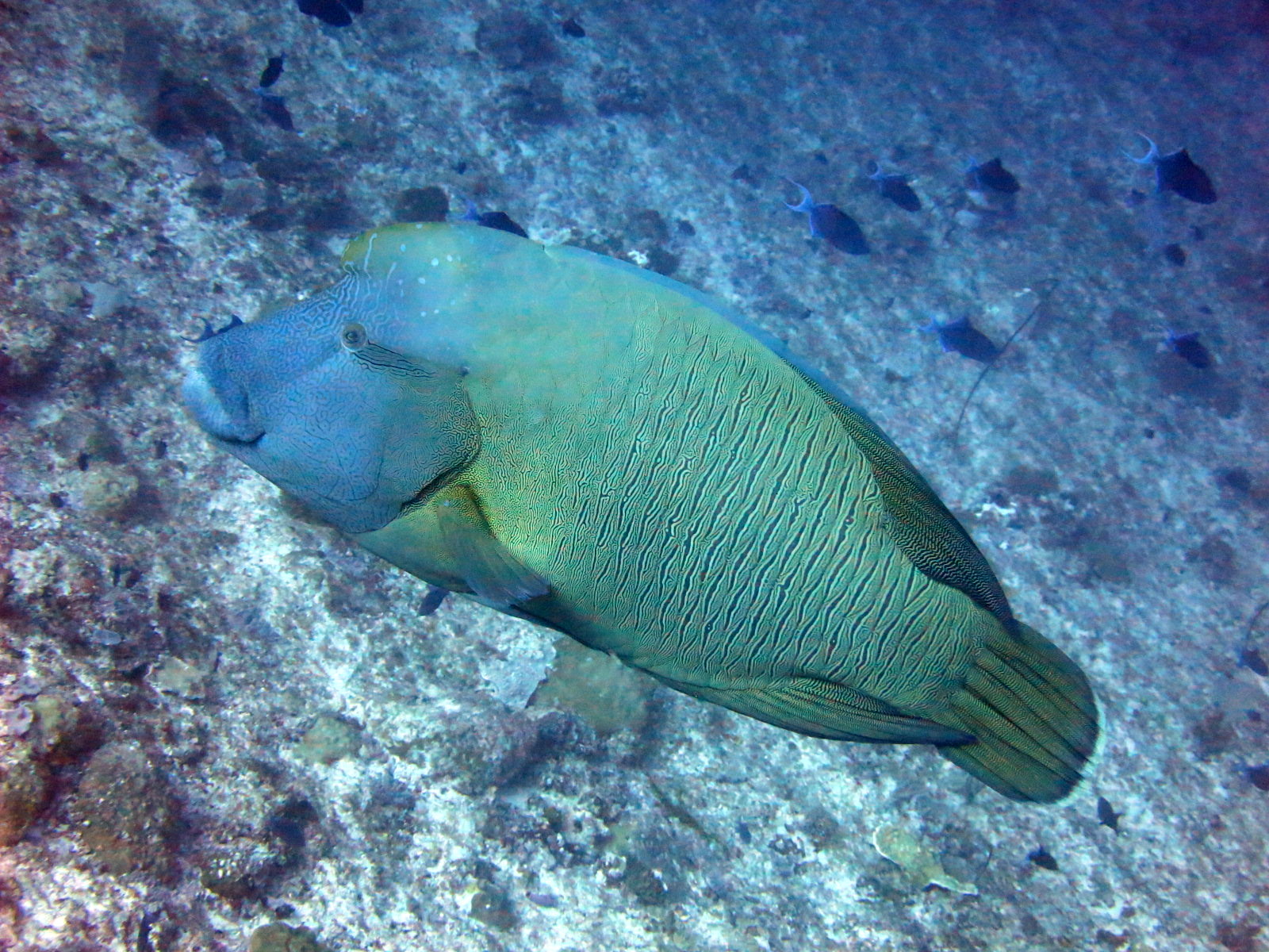
Napoleon (Humphead) Wrasse
周辺でも記録あり
「ここに記載」の生物種は、このページの情報源をもとに編集部が登録したものです。件数はGBIFの出現記録数で、1990年以降に登録地点から約5km以内で記録された観察データのうち、当サイトのカタログ掲載種に一致したものです。そこで実際に目撃された記録であり、潜水時の遭遇を保証するものではありません。
水中フォトグラファー向け
ワイドアングル: ★★★★★ · マクロ: ★☆☆☆☆ (各撮影スタイルに対するこのサイトの評価(編集部による1〜5点))