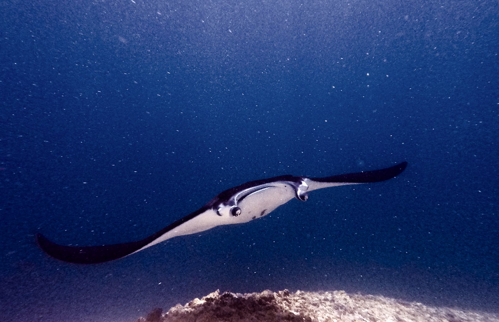
Manta Point (Karang Makassar)
수심은 사이트 상단부터 통상적인 최대 수심까지의 범위이며, '권장 자격증'은 업체에서 통상적으로 요구하는 주요 인증 기관 기준이지 법적 규정이 아닙니다. 조류와 시야는 매일 달라지므로, 모든 정보는 계획 수립용 참고 범위로 활용하세요.
Karang Makassar looks like nothing on the sounder, a drab rubble plain, and then the mantas appear. This is Komodo's manta highway: reef mantas commute along the flat to feed in the plankton stream and pause at bommie cleaning stations, sometimes singly, sometimes in chains of a dozen nose-to-tail. Divers drift with the tide at ten meters or so, staying low and letting the animals pass overhead; black morphs are a regular treat. Sightings happen year-round with a strong statistical lean toward the plankton-rich months around the northwest monsoon. Turtles, blue-spotted rays, and the odd bamboo shark fill the gaps between passes. Few dives this easy deliver animals this large.
바로 그 순간: Chains of reef mantas; cleaning-station holds; an easy shallow drift suitable for most divers.
지형: A kilometers-long flat of coral rubble and scattered bommies in shallow water east of Komodo island.
조류: A long conveyor-belt drift over the rubble; speed varies from strolling pace to brisk with the tide.
입수 전에 알아두세요
위험 요소: Boat traffic over a shallow drift line and occasional quick current; surface with an SMB well clear of the channel.
보존: Manta code of conduct applies: no chasing, no blocking their path, keep low and off the cleaning stations; the park polices boat numbers at peak times.
만날 수 있는 생물
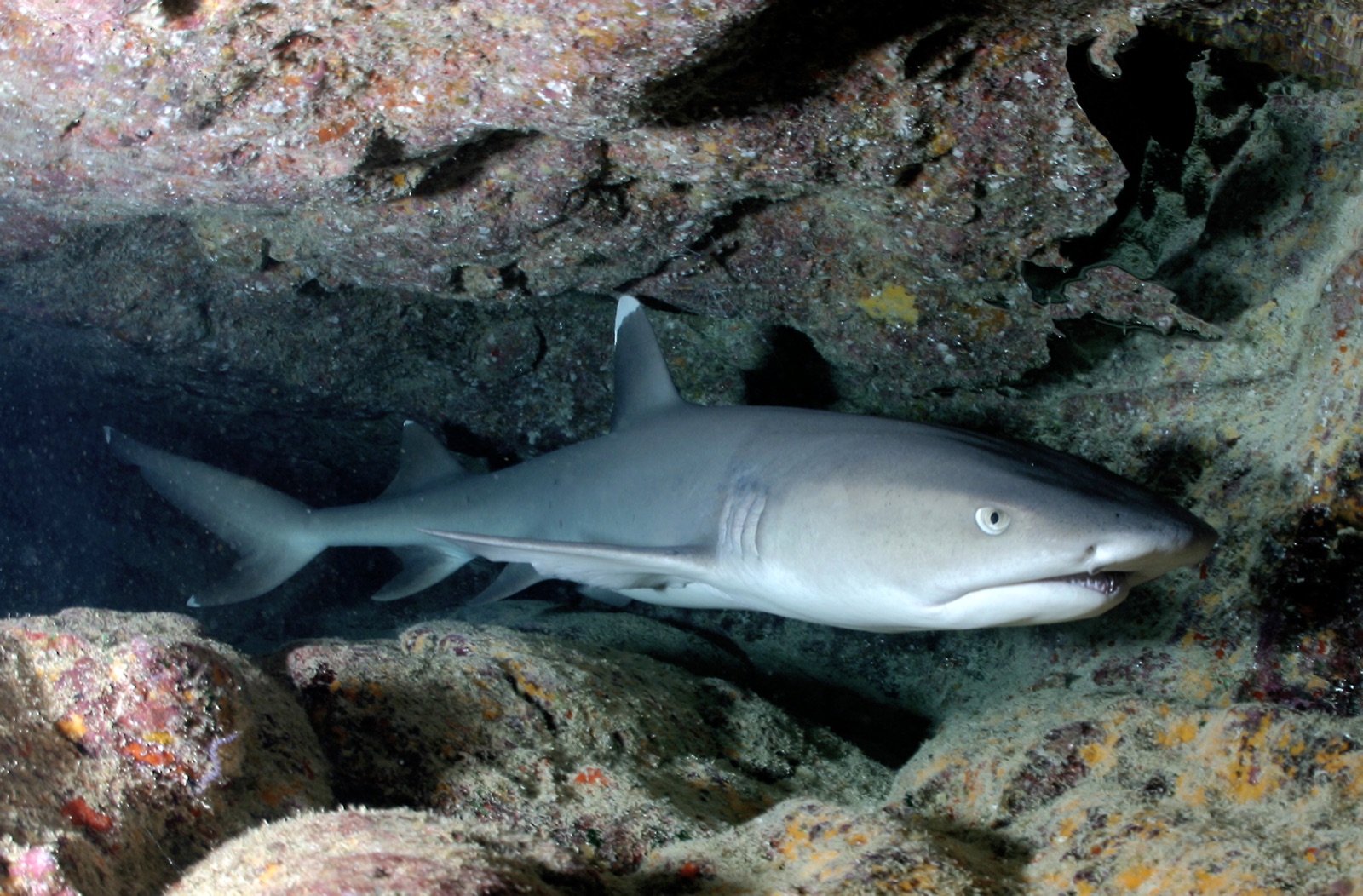
Whitetip Reef Shark
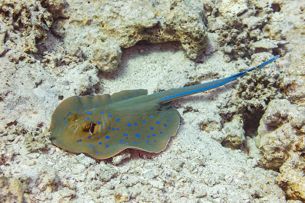
Blue-Spotted Ribbontail Ray
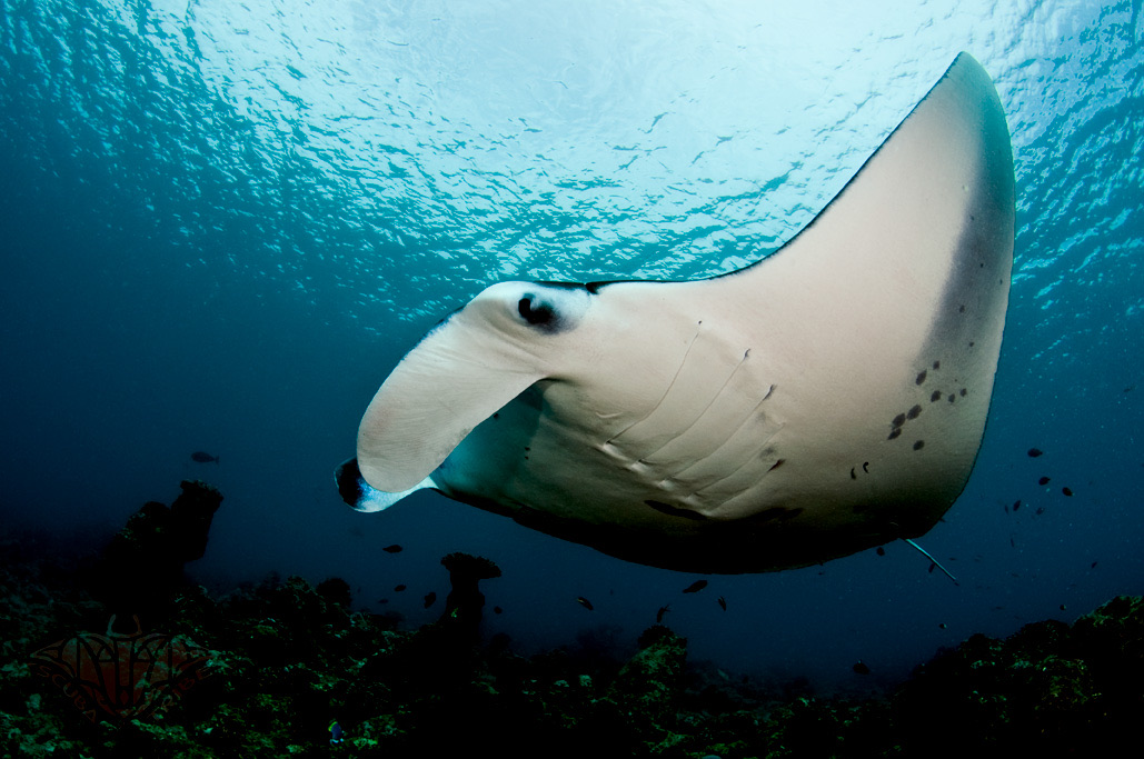
Reef Manta Ray
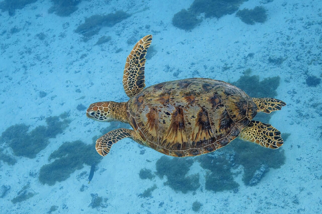
Green Sea Turtle

Nudibranchs

Clownfish & Anemonefish

Lionfish
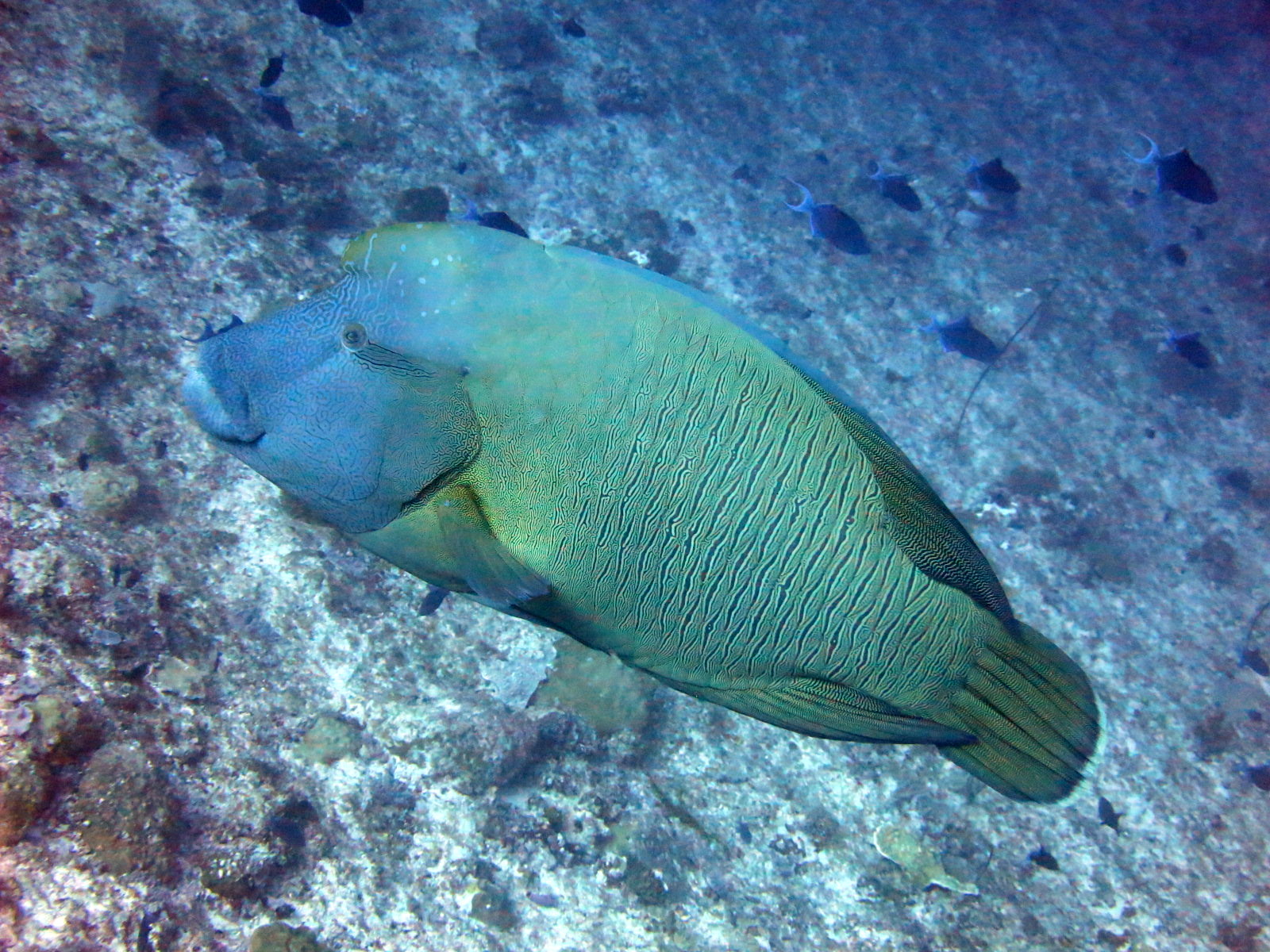
Napoleon (Humphead) Wrasse
인근에서도 기록된 종
"여기에 등록된" 생물종은 편집팀이 이 페이지의 출처를 바탕으로 목록화한 종입니다. 표시된 수치는 GBIF 출현 기록으로, 1990년 이후 등록 위치 기준 약 5km 이내에서 관찰·기록된 건수이며, 저희 카탈로그에 수록된 종에 한해 대조한 결과입니다. 실제로 목격된 사례를 보여주는 것이며, 현장에서 반드시 볼 수 있다는 보장은 아닙니다.
수중 촬영자를 위한 정보
광각: ★★★★★ · 마크로: ★☆☆☆☆ (각 촬영 스타일에 대한 에디터의 1–5점 평가)