Pontos de mergulho, épocas e vida marinha — pesquisados, mapeados, planeados.
Menu
Destinos Pontos de Mergulho Vida Marinha Naufrágios Notícias
Planejar uma viagem Planejador de viagem Quando mergulhar Calculadora de custos Comparações Calendário de vida marinha Temperatura da água Liveaboards Operadores & resorts Parques marinhos Câmaras hiperbáricas Mapa mundial
Regiões Austrália, Nova Zelândia e Ásia OrientalCaribe e Atlântico OcidentalEuropa, Atlântico & MediterrâneoOceano Índico e África OrientalIlhas do Pacífico & MicronésiaMar Vermelho & Médio OrienteSudeste Asiático e Triângulo de CoralAs Américas e o Pacífico Oriental Países
Aprender e Ferramentas Todos os guias Certificações Guias de equipamento Vídeos Consulte os Dados Agentes de IA API
Sobre Sobre nós Metodologia Aviso legal Contato
A sua vista
★ Guardado

Os seus destinos, sítios de mergulho e espécies favoritos — guardados neste browser.

API GATEWAY

Acesso JSON gratuito e só de leitura aos dados em cache do atlas.

Modo escuro

🧭 Vista Guiada
Novo no mergulho — profundidades, correntes, níveis de certificação? Explicamos cada termo enquanto navega, em linguagem simples. Os mesmos dados, com a ajuda integrada.

⚡ Vista de Especialista
Já sabe a diferença entre uma parede e um drift dive. Apenas os dados — claros, rápidos e compactos. Esta é a vista predefinida.

Idioma da interface
Manta Point (Karang Makassar) — illustrative image

Manta Point (Karang Makassar)

Drift 5–15 m Beginner Komodo, Indonesia
Ilustração gerada por IA
Bem documentado Também conhecido como: Makassar Reef
Profundidade
5–15 m / 16–49 ft
Profundidade típica
10 m / 33 ft
Visibilidade
8–20 m / 26–66 ft
Água
24–28 °C / 75–82 °F
Corrente
Moderate
Acesso
Boat
Melhores meses
Dec–Jun
Certificação recomendada
Open Water
Mergulho típico
~55 min

A profundidade indica a faixa desde o topo do ponto até o seu máximo habitual; a "certificação recomendada" é o nível das agências convencionais que os operadores costumam exigir, não uma exigência legal. Correntes e visibilidade mudam diariamente — trate tudo aqui como referências de planejamento.

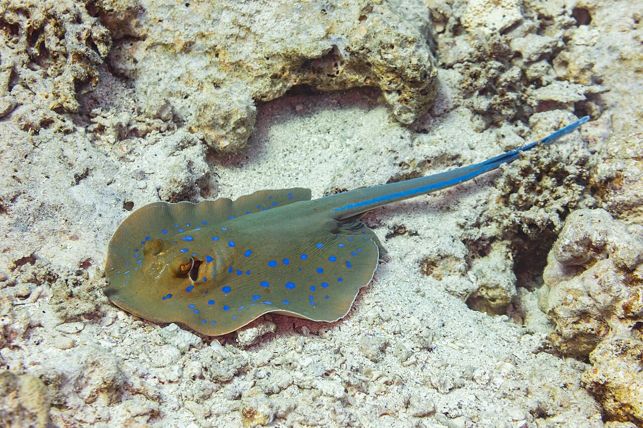
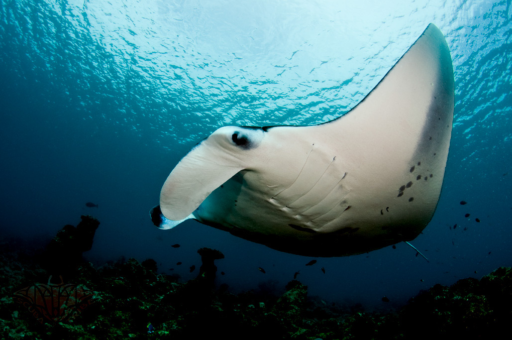
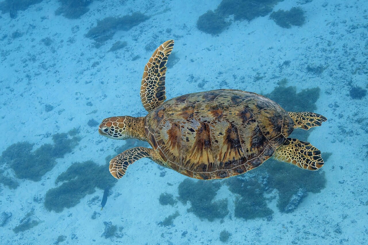
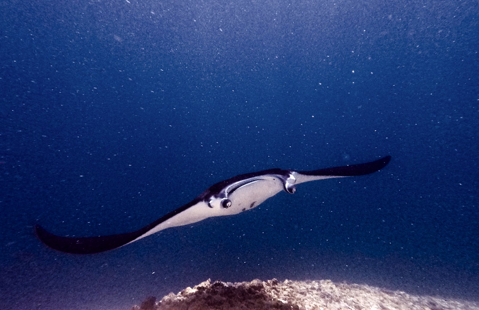
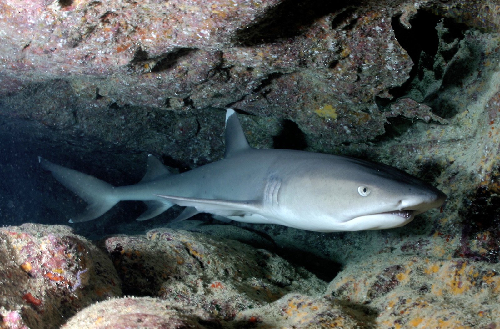
Karang Makassar looks like nothing on the sounder, a drab rubble plain, and then the mantas appear. This is Komodo's manta highway: reef mantas commute along the flat to feed in the plankton stream and pause at bommie cleaning stations, sometimes singly, sometimes in chains of a dozen nose-to-tail. Divers drift with the tide at ten meters or so, staying low and letting the animals pass overhead; black morphs are a regular treat. Sightings happen year-round with a strong statistical lean toward the plankton-rich months around the northwest monsoon. Turtles, blue-spotted rays, and the odd bamboo shark fill the gaps between passes. Few dives this easy deliver animals this large.

O momento pelo qual você vem: Chains of reef mantas; cleaning-station holds; an easy shallow drift suitable for most divers.

Topografia: A kilometers-long flat of coral rubble and scattered bommies in shallow water east of Komodo island.

Corrente: A long conveyor-belt drift over the rubble; speed varies from strolling pace to brisk with the tide.

Sabe antes de entrar na água

Perigos: Boat traffic over a shallow drift line and occasional quick current; surface with an SMB well clear of the channel.

Conservação: Manta code of conduct applies: no chasing, no blocking their path, keep low and off the cleaning stations; the park polices boat numbers at peak times.

Quem vai encontrar
Para fotógrafos

Grande angular: ★★★★★ · Macro: ★☆☆☆☆ — classificação de 1–5 dos editores sobre o que este sítio oferece a cada estilo de fotografia

Austrália, Nova Zelândia e Ásia Oriental

Cairns & the Ribbon ReefsNingaloo ReefCoral Sea & Osprey ReefOkinawa & the Kerama IslandsPoor Knights IslandsTownsville & the YongalaGreen IslandIzu Peninsula

Caribe e Atlântico Ocidental

BonaireCozumelRiviera Maya & the CenotesBelize Barrier ReefGrand CaymanIsla Mujeres & CancúnRoatánTiger Beach & Grand Bahama

Europa, Atlântico & Mediterrâneo

Malta & GozoSilfra & IcelandThe AzoresCanary IslandsLarnaca & the ZenobiaScapa FlowArctic NorwayMadeira

Oceano Índico e África Oriental

North & South Malé AtollsAri AtollBaa Atoll & Hanifaru BayAliwal Shoal & UmkomaasMafia IslandMauritiusSeychellesSodwana Bay

Ilhas do Pacífico & Micronésia

PalauChuuk (Truk) LagoonFakaravaKona, HawaiʻiRangiroaTaveuni & Rainbow ReefBeqa Lagoon & Pacific HarbourEspiritu Santo

Mar Vermelho & Médio Oriente

Sharm El Sheikh & Ras MohammedBrothers, Daedalus & St John'sDahabHurghada & El GounaMarsa Alam & the Deep SouthAqabaDaymaniyat IslandsMusandam Peninsula

Sudeste Asiático e Triângulo de Coral

Bali & Nusa PenidaKomodoRaja AmpatSipadan & MabulAnilaoCoronKoh TaoLembeh Strait

As Américas e o Pacífico Oriental

Galápagos IslandsCocos IslandFlorida KeysSea of Cortez & Cabo PulmoSocorro & the RevillagigedosBritish ColumbiaCalifornia Channel IslandsCosta Rica Pacific Coast