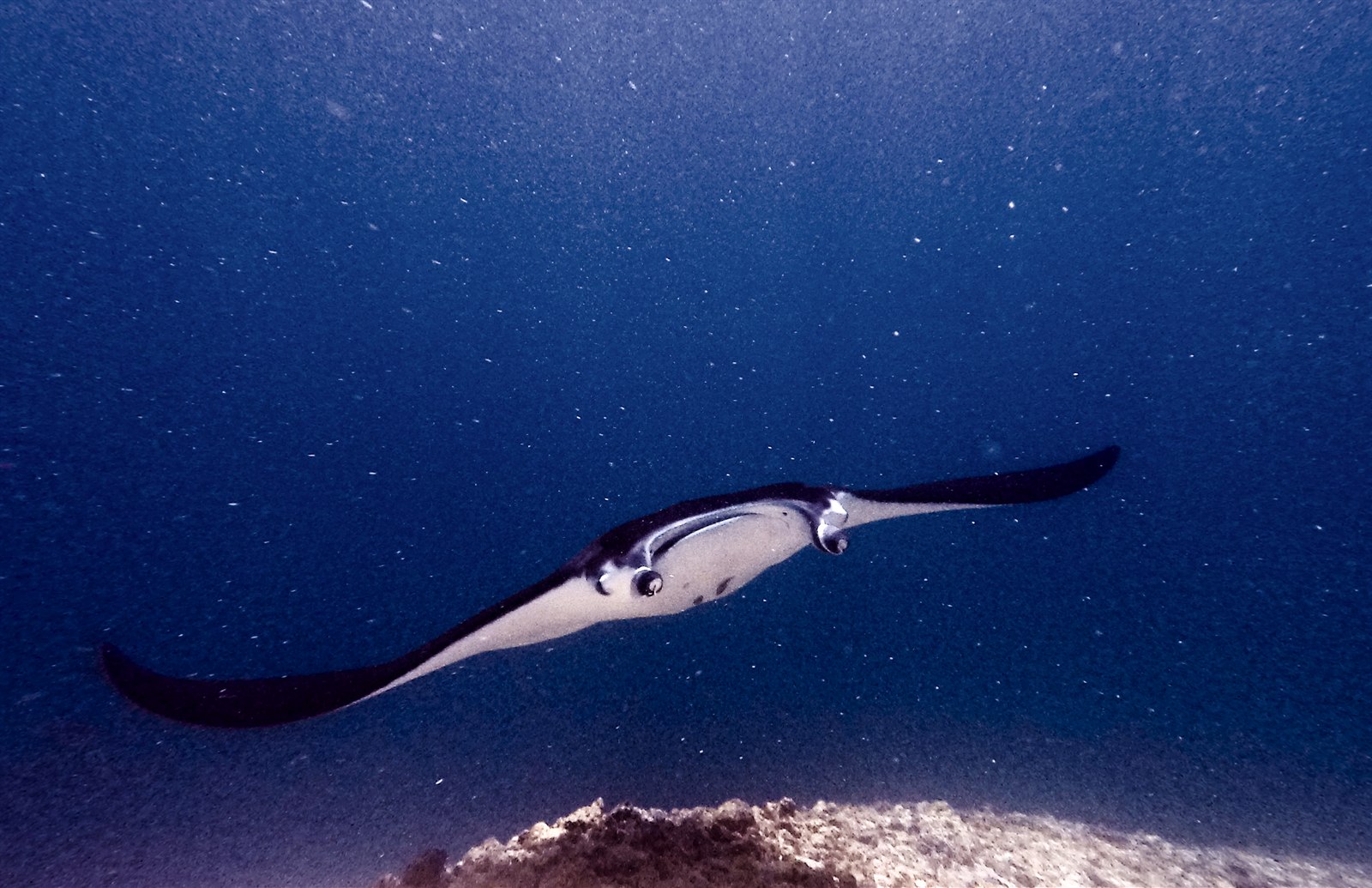
Manta Point (Karang Makassar)
Глубина указана в диапазоне от верхней точки объекта до обычного максимума; «рекомендуемый уровень сертификации» означает стандарт крупных агентств, который операторы обычно запрашивают, а не юридическое требование. Течения и видимость меняются ежедневно, поэтому воспринимайте все данные здесь как ориентировочные.
Karang Makassar looks like nothing on the sounder, a drab rubble plain, and then the mantas appear. This is Komodo's manta highway: reef mantas commute along the flat to feed in the plankton stream and pause at bommie cleaning stations, sometimes singly, sometimes in chains of a dozen nose-to-tail. Divers drift with the tide at ten meters or so, staying low and letting the animals pass overhead; black morphs are a regular treat. Sightings happen year-round with a strong statistical lean toward the plankton-rich months around the northwest monsoon. Turtles, blue-spotted rays, and the odd bamboo shark fill the gaps between passes. Few dives this easy deliver animals this large.
Момент, ради которого вы приехали: Chains of reef mantas; cleaning-station holds; an easy shallow drift suitable for most divers.
Рельеф дна: A kilometers-long flat of coral rubble and scattered bommies in shallow water east of Komodo island.
Течение: A long conveyor-belt drift over the rubble; speed varies from strolling pace to brisk with the tide.
Узнай до того, как войдёшь в воду
Опасности: Boat traffic over a shallow drift line and occasional quick current; surface with an SMB well clear of the channel.
Охрана природы: Manta code of conduct applies: no chasing, no blocking their path, keep low and off the cleaning stations; the park polices boat numbers at peak times.
Кого вы встретите
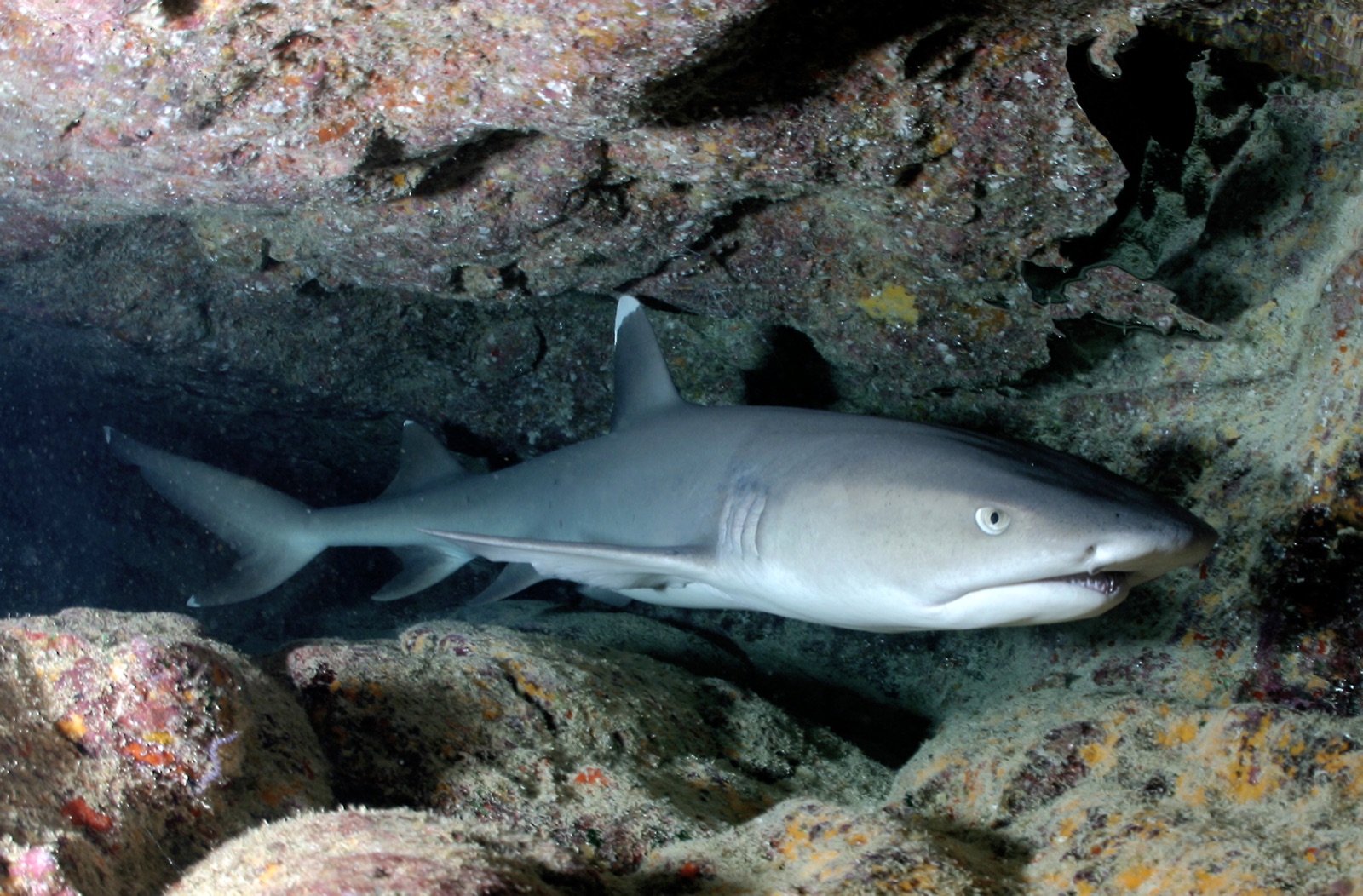
Whitetip Reef Shark
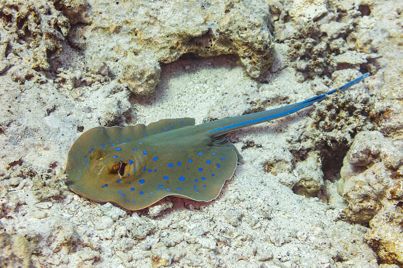
Blue-Spotted Ribbontail Ray
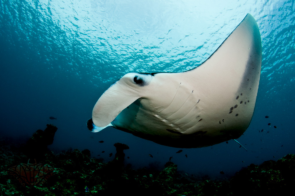
Reef Manta Ray
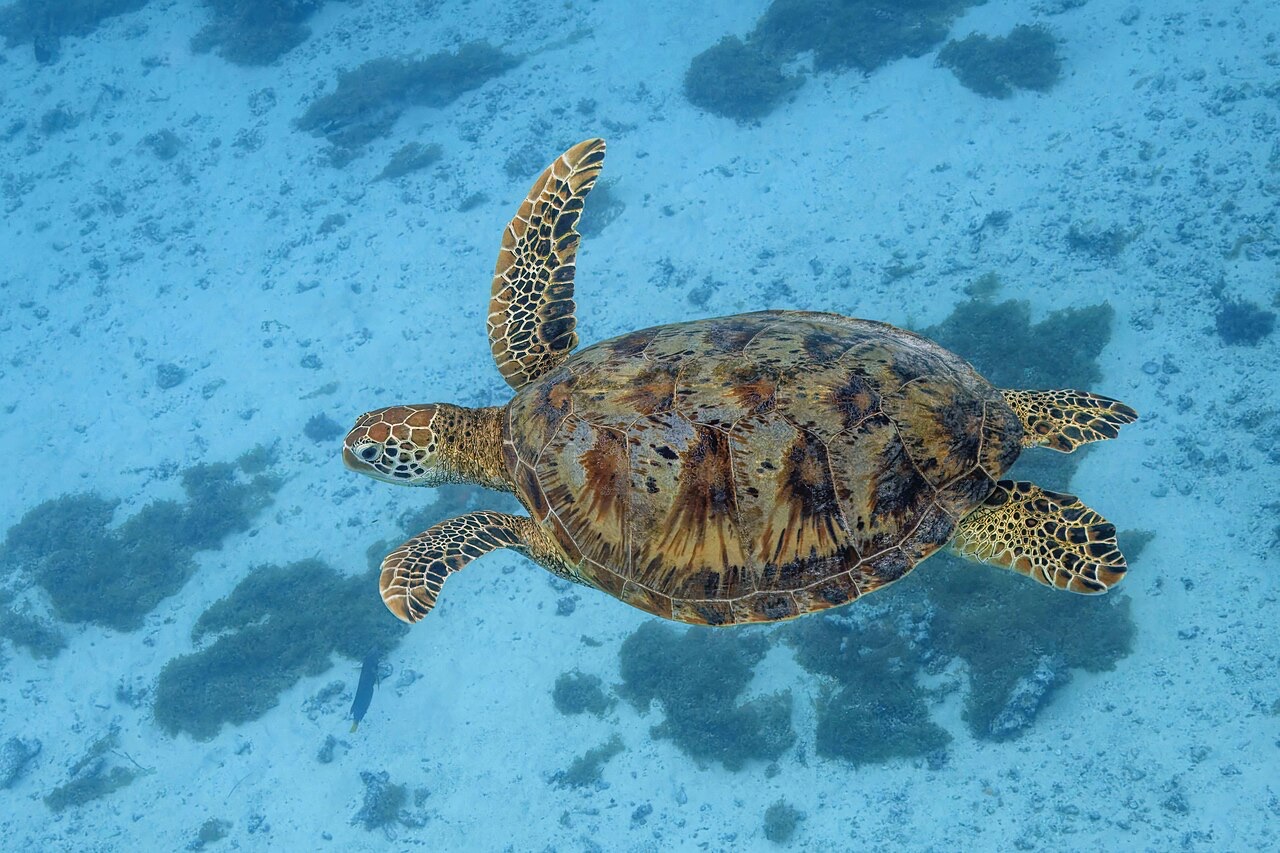
Green Sea Turtle

Nudibranchs

Clownfish & Anemonefish

Lionfish
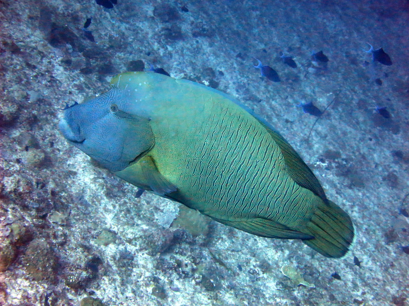
Napoleon (Humphead) Wrasse
Также отмечено поблизости
Виды, отмеченные здесь как «занесённые в каталог», добавлены нашими редакторами на основе источников, указанных на этой странице. Счётчики отражают записи о наблюдениях в GBIF: наблюдения, зафиксированные в радиусе примерно 5 км от указанной позиции начиная с 1990 года, сопоставленные только с видами из нашего каталога. Они показывают, что там видели, а не гарантируют, что вы это увидите.
Для фотографов
Широкий угол: ★★★★★ · Макро: ★☆☆☆☆ (редакционная оценка от 1 до 5 того, что этот сайт даёт каждому стилю съёмки)