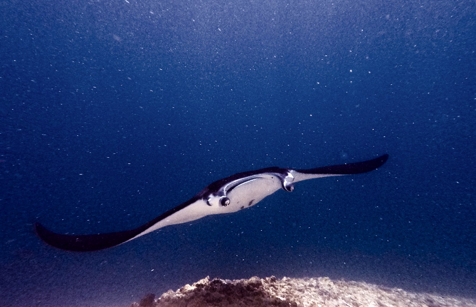
Manta Point (Karang Makassar)
Độ sâu là khoảng từ đỉnh của địa điểm đến mức tối đa thông thường; "chứng chỉ được khuyến nghị" là cấp độ mà các đơn vị điều hành thuộc tổ chức đào tạo chính thống thường yêu cầu, không phải quy định pháp lý. Dòng chảy và tầm nhìn thay đổi theo ngày, vì vậy hãy xem mọi thứ ở đây như các phạm vi tham khảo khi lập kế hoạch.
Karang Makassar looks like nothing on the sounder, a drab rubble plain, and then the mantas appear. This is Komodo's manta highway: reef mantas commute along the flat to feed in the plankton stream and pause at bommie cleaning stations, sometimes singly, sometimes in chains of a dozen nose-to-tail. Divers drift with the tide at ten meters or so, staying low and letting the animals pass overhead; black morphs are a regular treat. Sightings happen year-round with a strong statistical lean toward the plankton-rich months around the northwest monsoon. Turtles, blue-spotted rays, and the odd bamboo shark fill the gaps between passes. Few dives this easy deliver animals this large.
Khoảnh khắc bạn đến vì nó: Chains of reef mantas; cleaning-station holds; an easy shallow drift suitable for most divers.
Địa hình: A kilometers-long flat of coral rubble and scattered bommies in shallow water east of Komodo island.
Dòng chảy: A long conveyor-belt drift over the rubble; speed varies from strolling pace to brisk with the tide.
Biết trước khi xuống nước
Nguy hiểm cần lưu ý: Boat traffic over a shallow drift line and occasional quick current; surface with an SMB well clear of the channel.
Bảo tồn: Manta code of conduct applies: no chasing, no blocking their path, keep low and off the cleaning stations; the park polices boat numbers at peak times.
Bạn sẽ gặp ai
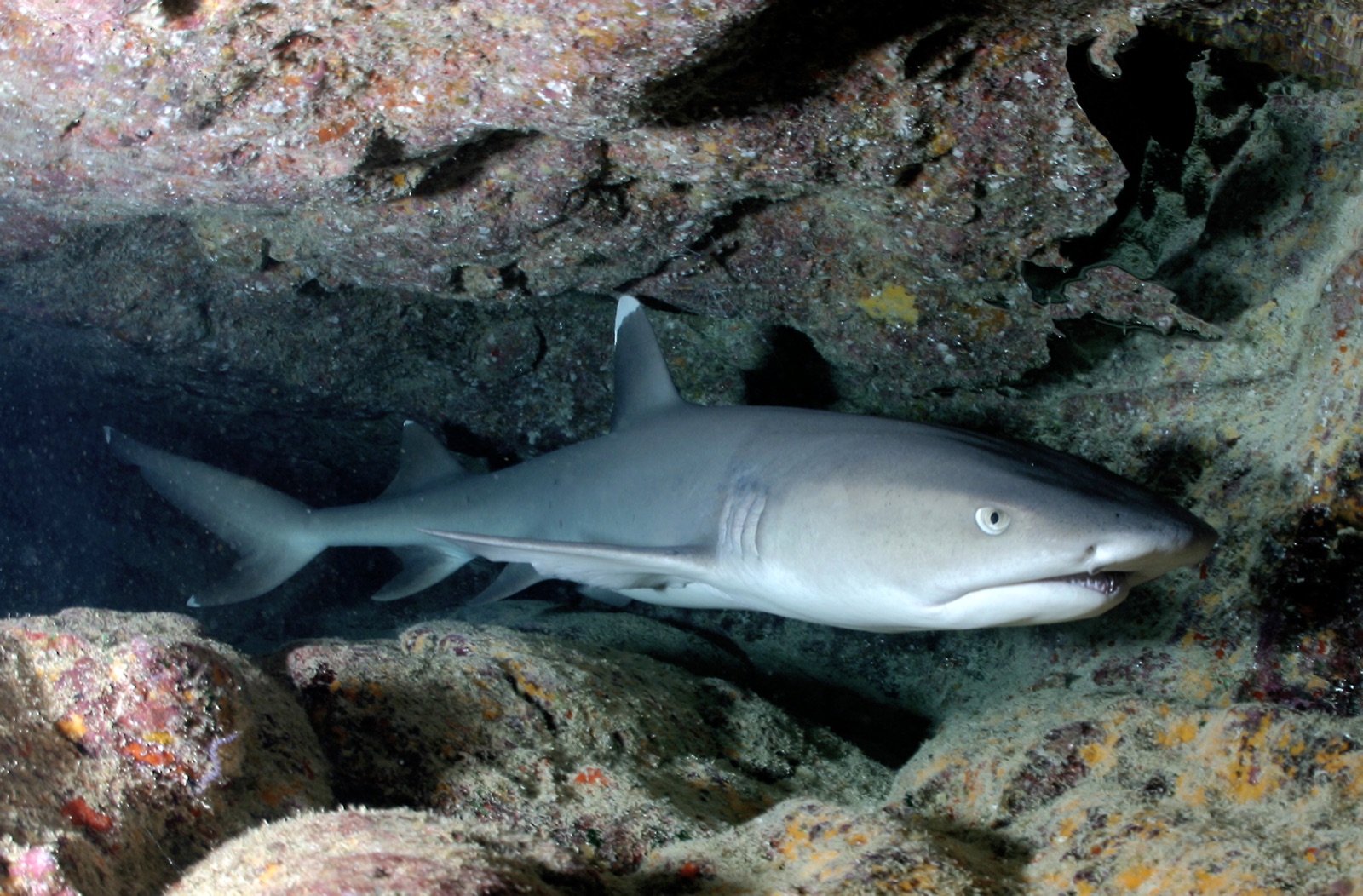
Whitetip Reef Shark
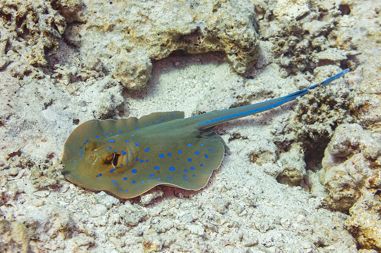
Blue-Spotted Ribbontail Ray
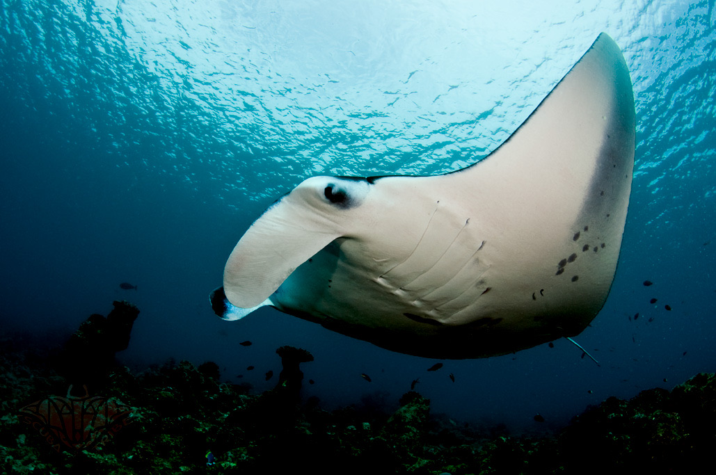
Reef Manta Ray
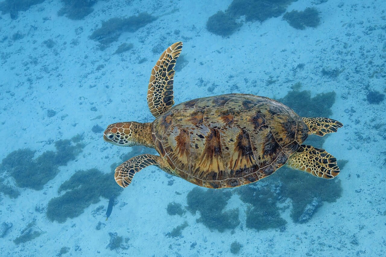
Green Sea Turtle

Nudibranchs

Clownfish & Anemonefish

Lionfish
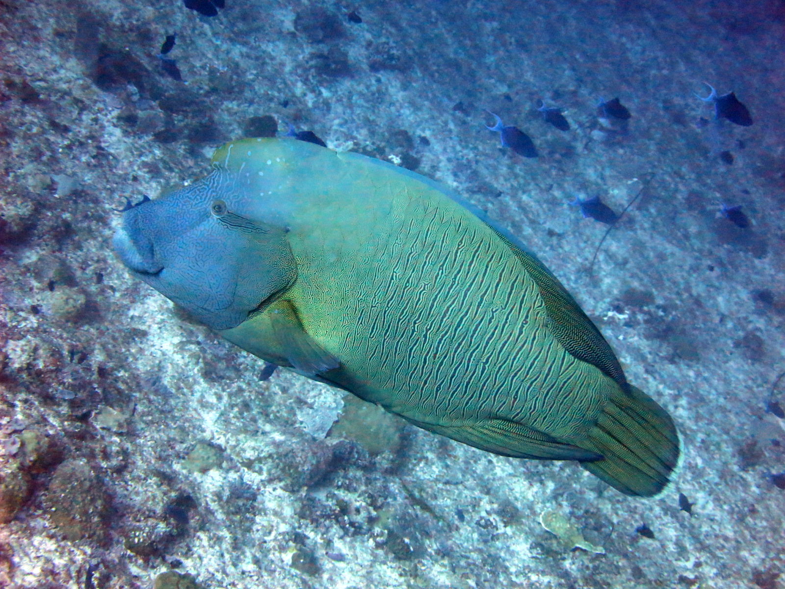
Napoleon (Humphead) Wrasse
Cũng được ghi nhận ở vùng lân cận
Các loài "được ghi chép tại đây" do ban biên tập của chúng tôi tổng hợp từ các nguồn trên trang này. Số lượng là bản ghi xuất hiện từ GBIF: các quan sát được ghi nhận trong phạm vi khoảng 5 km tính từ vị trí đã ghi chép kể từ năm 1990, chỉ đối chiếu với các loài trong danh mục của chúng tôi. Chúng cho thấy những gì đã được nhìn thấy tại đó, không phải cam kết về những gì bạn sẽ thấy.
Dành cho thợ lặn chụp ảnh
Góc rộng: ★★★★★ · Macro: ★☆☆☆☆ (đánh giá 1–5 của biên tập viên về những gì địa điểm này mang lại cho từng phong cách chụp ảnh)