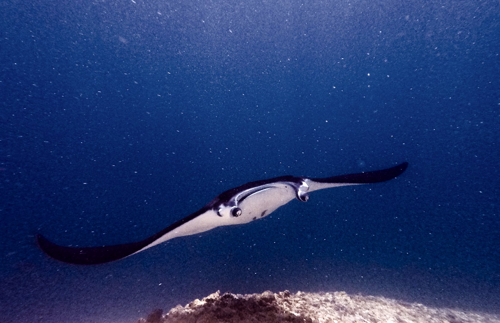
Manta Point (Karang Makassar)
深度范围指从潜点顶部到通常最大深度;"建议认证等级"是运营商通常要求的主流机构等级,并非法律规定。水流和能见度每天都会变化,请将这里的所有信息视为规划参考范围。
Karang Makassar looks like nothing on the sounder, a drab rubble plain, and then the mantas appear. This is Komodo's manta highway: reef mantas commute along the flat to feed in the plankton stream and pause at bommie cleaning stations, sometimes singly, sometimes in chains of a dozen nose-to-tail. Divers drift with the tide at ten meters or so, staying low and letting the animals pass overhead; black morphs are a regular treat. Sightings happen year-round with a strong statistical lean toward the plankton-rich months around the northwest monsoon. Turtles, blue-spotted rays, and the odd bamboo shark fill the gaps between passes. Few dives this easy deliver animals this large.
您此行的高光时刻: Chains of reef mantas; cleaning-station holds; an easy shallow drift suitable for most divers.
地形地貌: A kilometers-long flat of coral rubble and scattered bommies in shallow water east of Komodo island.
水流: A long conveyor-belt drift over the rubble; speed varies from strolling pace to brisk with the tide.
入水前须知
危险因素: Boat traffic over a shallow drift line and occasional quick current; surface with an SMB well clear of the channel.
保育: Manta code of conduct applies: no chasing, no blocking their path, keep low and off the cleaning stations; the park polices boat numbers at peak times.
你会遇见谁
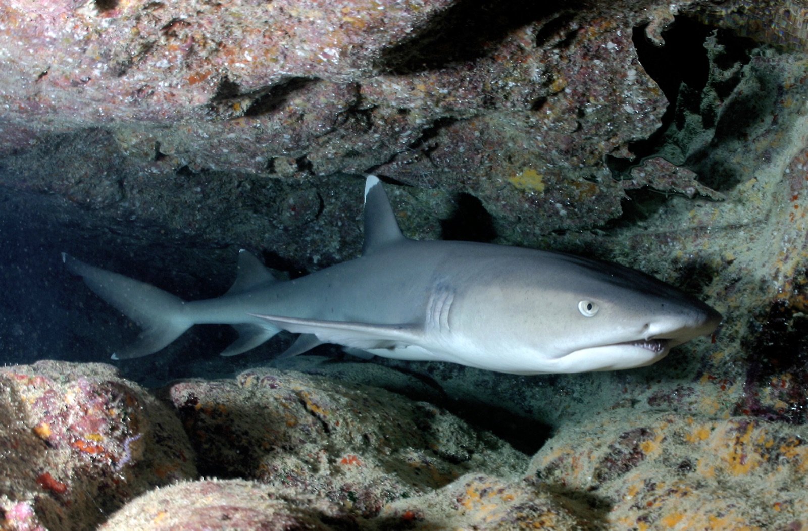
Whitetip Reef Shark
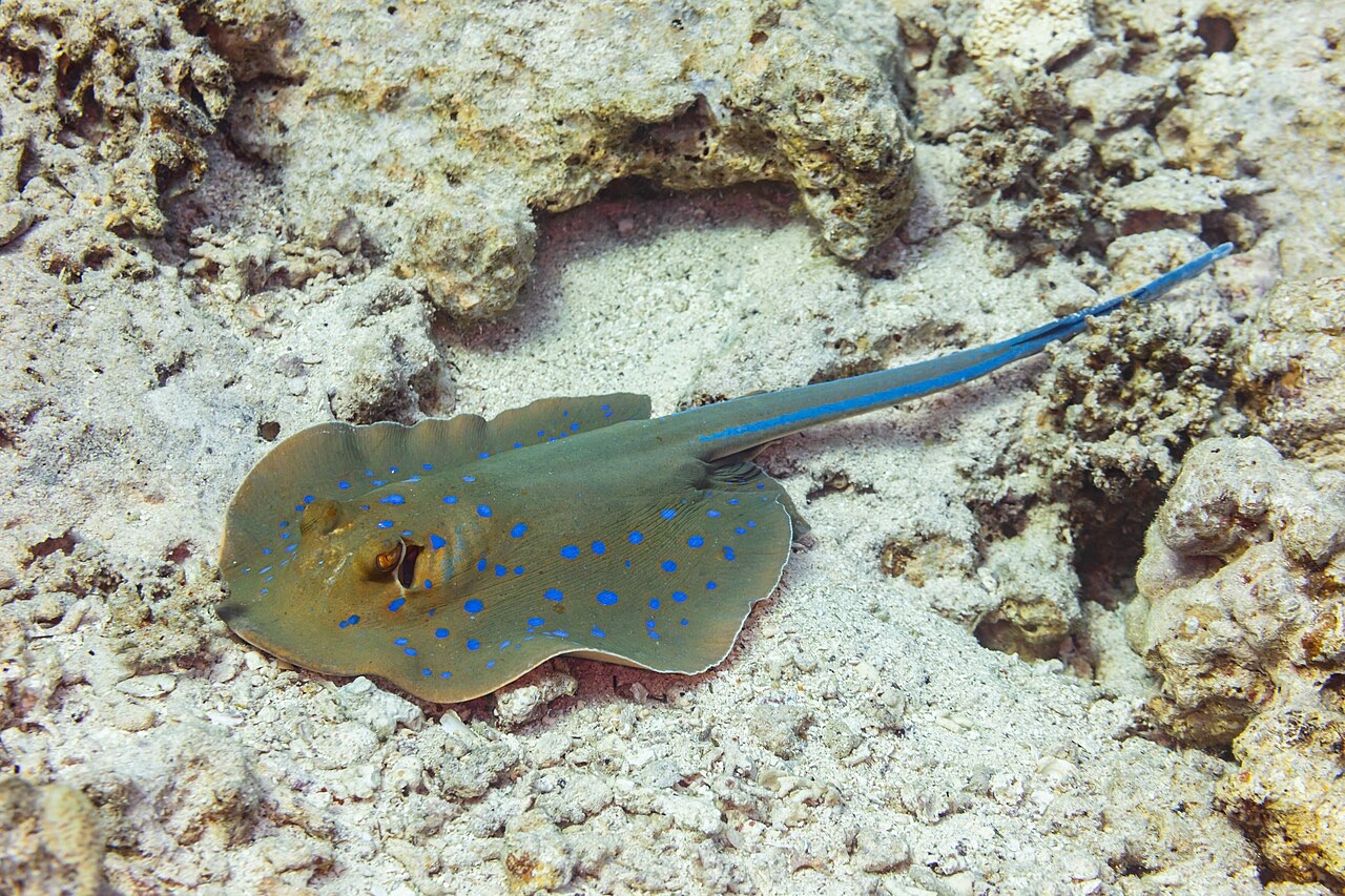
Blue-Spotted Ribbontail Ray
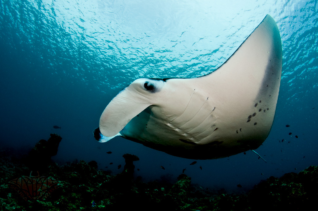
Reef Manta Ray
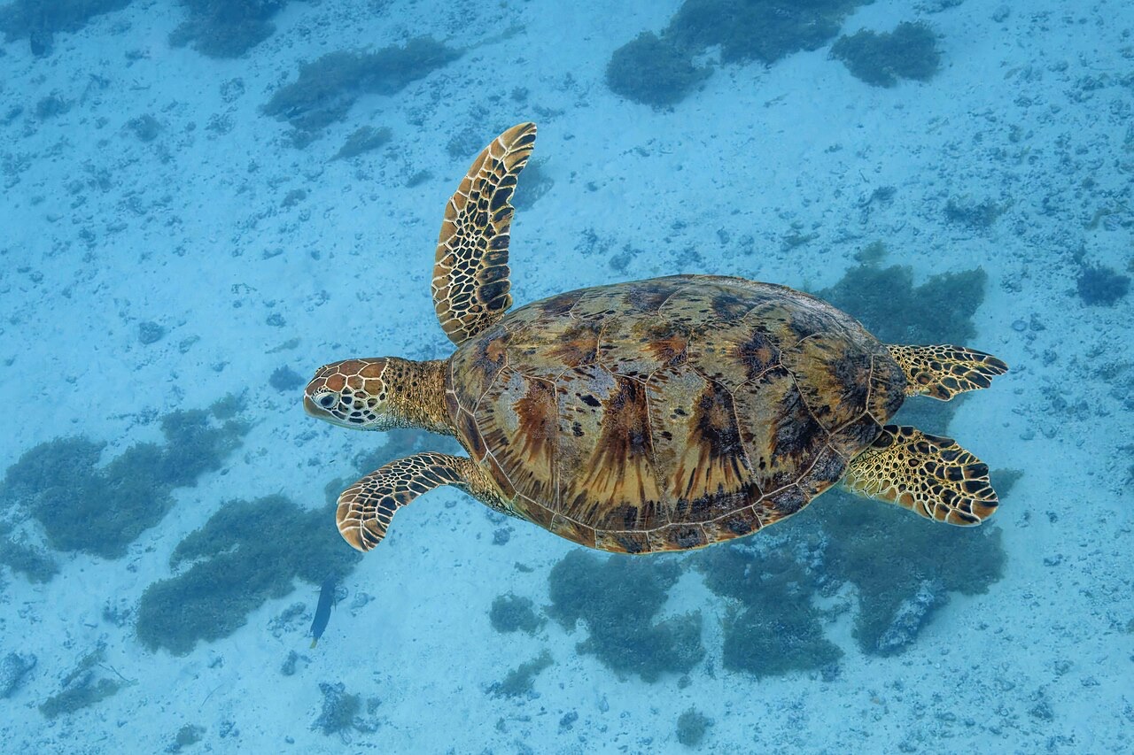
Green Sea Turtle

Nudibranchs

Clownfish & Anemonefish

Lionfish
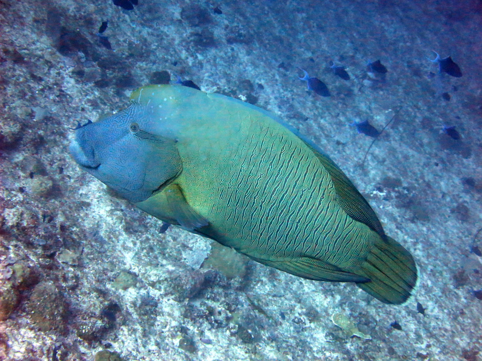
Napoleon (Humphead) Wrasse
附近亦有记录
"已标注于此"的物种由编辑团队从本页所列来源中整理收录。数量为GBIF出现记录数:即1990年以来在标注位置约5公里范围内记录的观测数据,仅与我们目录中的物种进行匹配。这些数据反映的是该地点的历史目击情况,并非对您此行所见的保证。
摄影师专区
广角: ★★★★★ · 微距: ★☆☆☆☆ (编辑对该潜点适合各类水下摄影风格的1–5分评级)