Shark & Yolanda Reefs
Depth is the range from the top of the site to its usual maximum; "recommended cert" is the mainstream-agency level operators usually ask for, not a legal rule. Currents and visibility change daily, so treat everything here as planning ranges.
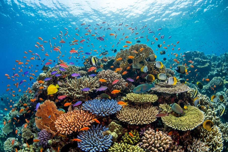
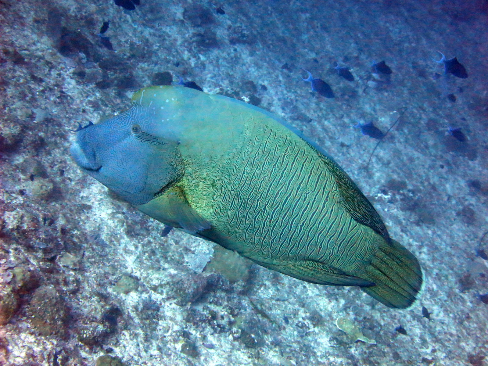
Two coral towers rise from a shared plateau off the very tip of Sinai, separated by a saddle and swept by the currents that make Ras Mohammed famous. Divers drop at Anemone City, cross to Shark Reef's vertical wall - a drift over deep blue with snapper, batfish, and barracuda massing in summer - then finish over Yolanda Reef among scattered toilets, bathtubs, and pipe fittings: cargo spilled by the freighter Jolanda, which ran onto the reef in 1980 before her hull slid down the drop-off; technical divers relocated it below 145 meters in 2005. A resident Napoleon wrasse usually inspects the traffic. In July and August the fish aggregations here rank with anything in the Red Sea.
The moment you come for: Summer snapper and batfish walls; Shark Reef's sheer drop; Yolanda's porcelain cargo field; resident Napoleon wrasse.
Topography: Two coral towers on a shared plateau over a wall that drops several hundred meters
Current: Flow at the point can strengthen mid-dive and split around both towers; guides read it on descent.
Entry: Dived as a drift inside Ras Mohammed National Park; groups usually drop at Anemone City and finish over Yolanda Reef.
Know before you splash
Hazards: Current shear at the point, boat traffic at the surface, and the temptation to overstay depth on the wall.
Permits & rules: National park fee, normally collected by the operator.
Conservation: Ras Mohammed National Park rules apply: no touching, no gloves, no collection of the Jolanda cargo.
Nitrox: Worth it here: profiles sit in the range where enriched air meaningfully extends no-stop time (with the training to use it).
Who you'll meet
Giant Moray Eel

Clownfish & Anemonefish
Napoleon (Humphead) Wrasse

Great Barracuda
Hawksbill Turtle
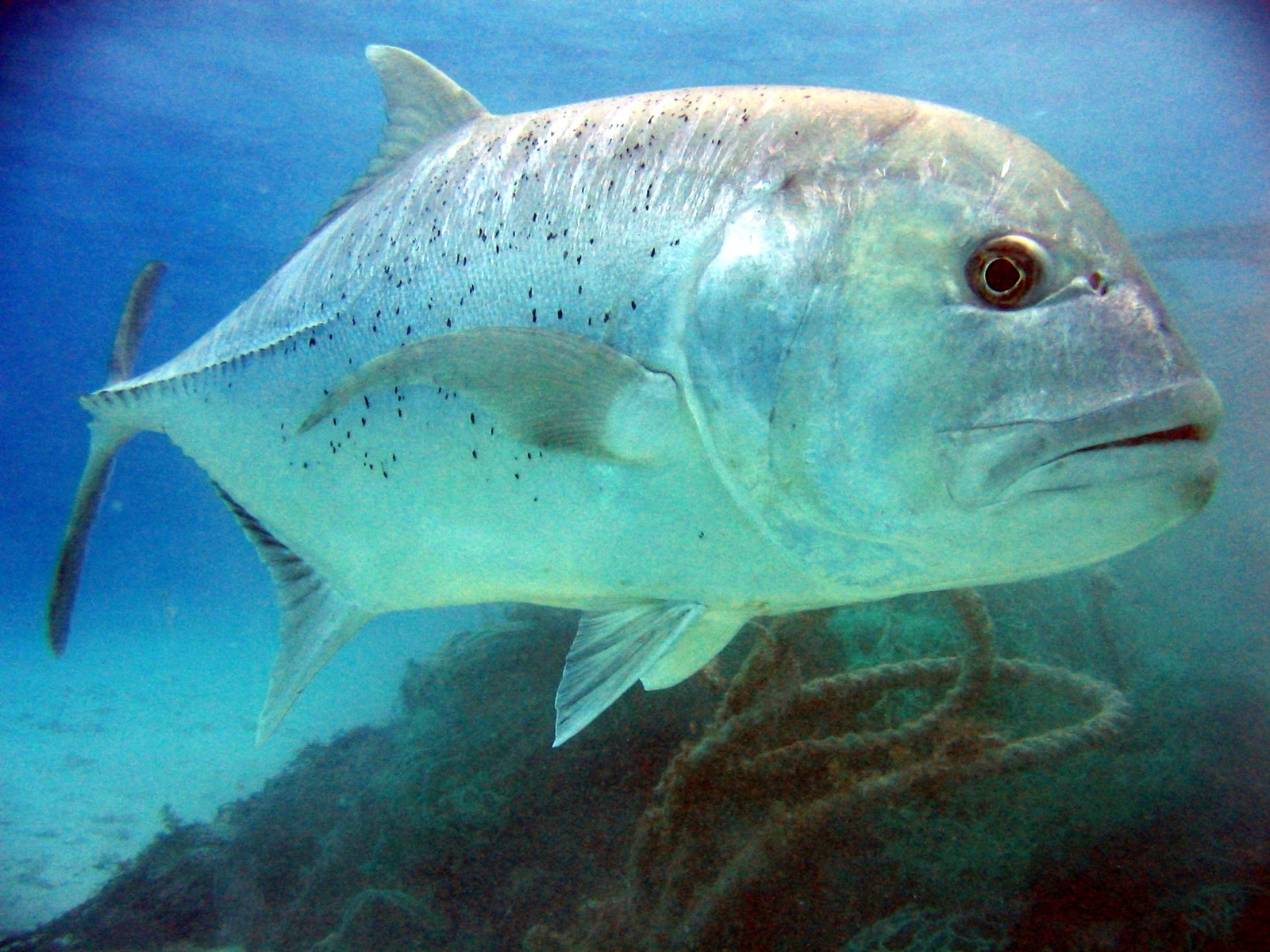
Giant Trevally
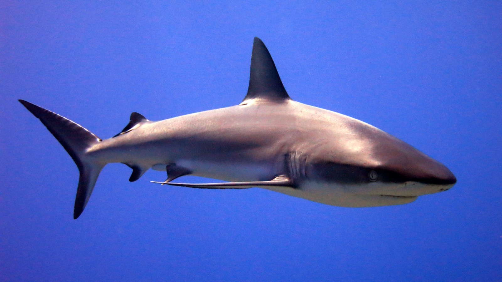
Grey Reef Shark
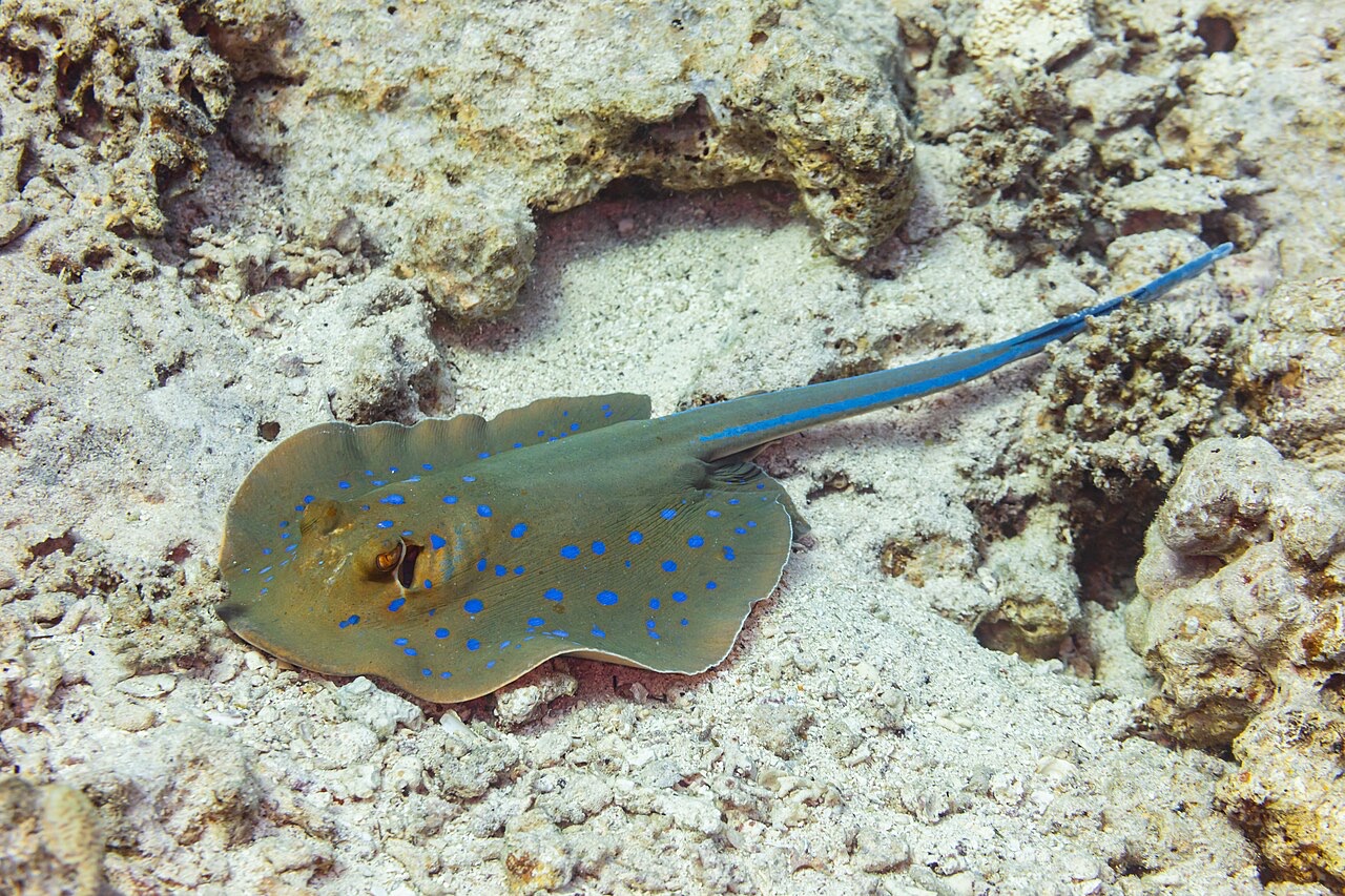
Blue-Spotted Ribbontail Ray
Also recorded nearby
"Charted here" species were listed by our editors from the sources on this page. Counts are GBIF occurrence records: observations logged within about 5 km of the charted position since 1990, matched only against the species in our catalogue. They show what has been seen there, not a promise of what you will see.
For photographers
Wide angle: ★★★★★ · Macro: ★★☆☆☆ (editors' 1–5 rating of what this site gives each style of shooting)