Chumphon Pinnacle
水深はサイト上部から通常の最大深度までの範囲です。「推奨資格」は多くのオペレーターが求めるメインストリームエージェンシーのレベルであり、法的な義務ではありません。潮流と透明度は日々変わるため、ここに記載の数値はあくまで計画のための目安としてお使いください。
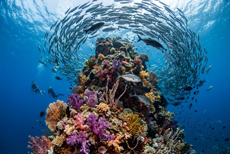
Chumphon is Koh Tao's serious dive, the one instructors save for the last day of an Advanced course. A granite tower rises from the gulf floor to 14 m, its entire crown carpeted in magnificent sea anemones that ripple like a single organism, pink skunk clownfish seething across it. Around and above, the water column belongs to schools: big-eye trevally in torrents, chevron barracuda in drifting palisades, queenfish flashing through. Whale sharks appear regularly enough in season that half the island drops everything when the call goes out. The resident bull sharks that once patrolled here faded from sightings in the mid-2010s; the pinnacle never needed them to fill a logbook page.
その瞬間のために: Anemone-carpeted summit, torrents of trevally and barracuda, the island's best whale-shark odds
地形: Granite pinnacle crowned in anemones, satellite rocks on sand at 36 m
流れ(カレント): Open-gulf site with honest current some days; descents and ascents use the lines.
エントリー: About 30-45 minutes northwest of the island; buoy lines run to the pinnacle top at around 14 m.
エントリー前に知っておこう
危険生物・リスク: Depth for newer divers, current on exchange days, and crowds on the lines at peak hours.
保全: Multiple schools converge here daily; line courtesy and controlled ascents keep the column safe for everyone.
ナイトロックス: ここでは価値があります。エンリッチドエア(ナイトロックス)が無減圧潜水時間を有意に延ばせる範囲にあるスポットです(利用にはトレーニングが必要です)。
出会える生物

Clownfish & Anemonefish
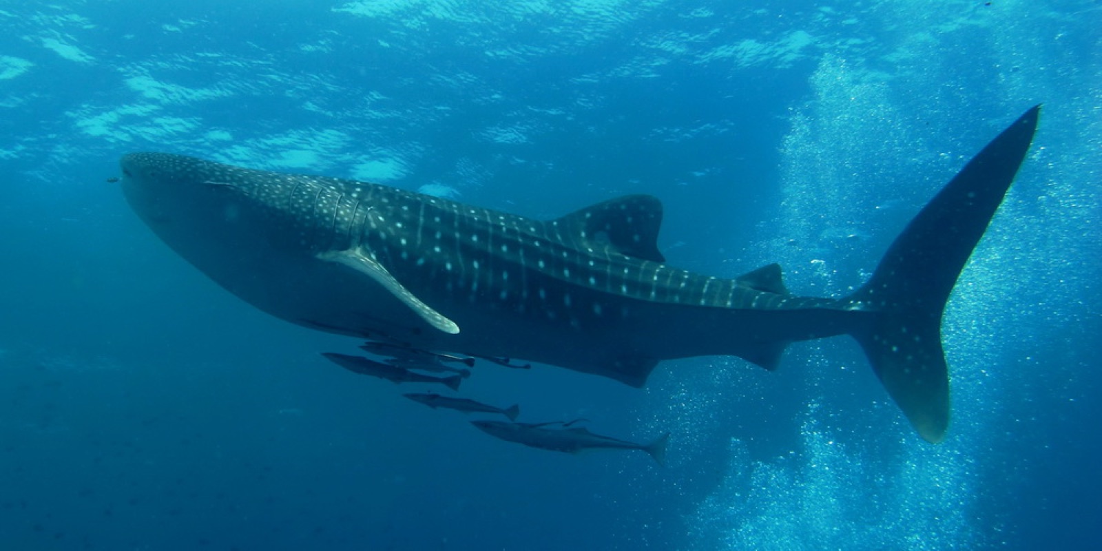
Whale Shark
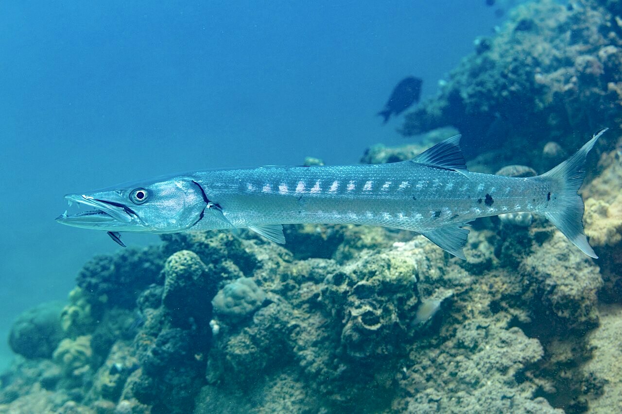
Great Barracuda
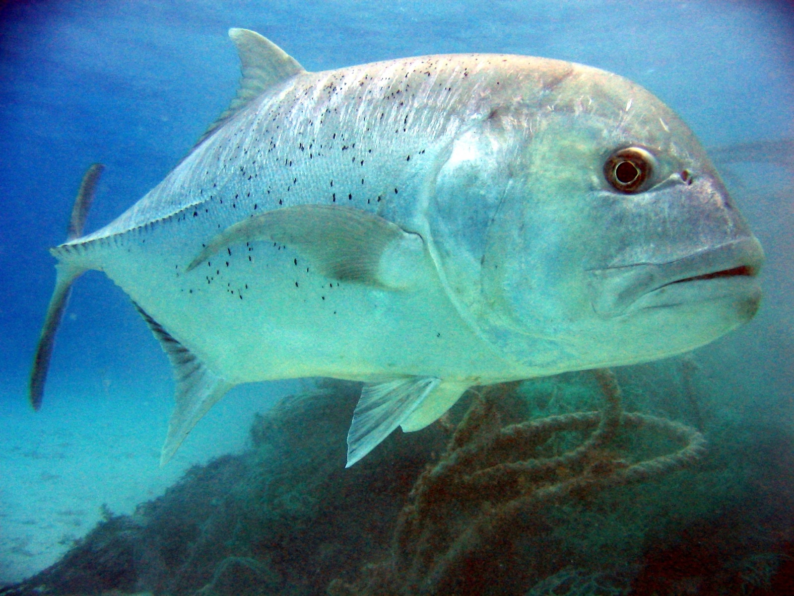
Giant Trevally
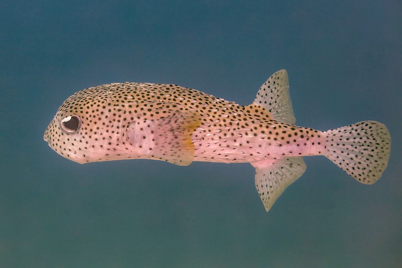
Porcupinefish
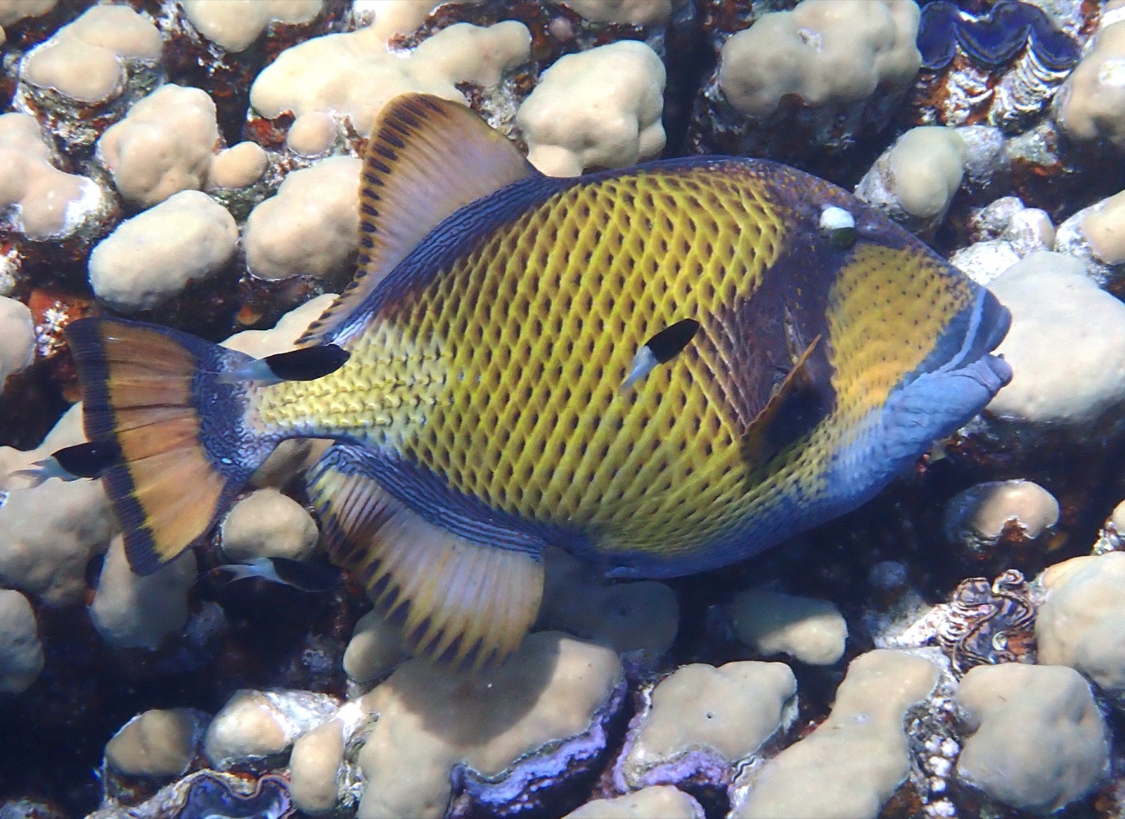
Titan Triggerfish

Nudibranchs
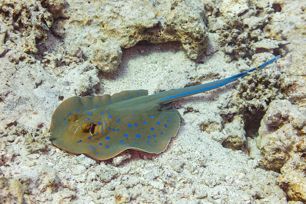
Blue-Spotted Ribbontail Ray
周辺でも記録あり
「ここに記載」の生物種は、このページの情報源をもとに編集部が登録したものです。件数はGBIFの出現記録数で、1990年以降に登録地点から約5km以内で記録された観察データのうち、当サイトのカタログ掲載種に一致したものです。そこで実際に目撃された記録であり、潜水時の遭遇を保証するものではありません。
水中フォトグラファー向け
ワイドアングル: ★★★★★ · マクロ: ★★☆☆☆ (各撮影スタイルに対するこのサイトの評価(編集部による1〜5点))