
Shark Island
Kedalaman adalah rentang dari bagian teratas lokasi hingga maksimum biasanya; "sertifikasi yang direkomendasikan" adalah level yang umumnya diminta operator dari lembaga arus utama, bukan aturan hukum. Arus dan visibilitas berubah setiap hari — gunakan semua informasi di sini sebagai kisaran perencanaan saja.
The name describes the rock's dorsal-fin profile above water, not a resident population, and guides enjoy clearing that up on the ride over. What the islet actually offers is Koh Tao's most varied single circuit: boulder slopes with dense soft coral and sea whips, gorgonian clusters unusual for the gulf, banded sea kraits threading the shallows, turtles on the sponge ledges, and sandy breaks where blue-spotted rays settle. Angelfish and sweetlips add color the west-coast sites lack. With swell running it turns washing-machine shallow, and on those days everyone learns why the schedule shuffles sites.
Momen yang Anda nantikan: Soft-coral variety, sea kraits and rays, an honest name-myth debunking
Topografi: Granite islet with boulder slopes, soft coral, and sand patches
Arus: Swell and current wrap the rock when the wind is up; the lee side usually works.
Entri: Off Koh Tao's southeast corner; more exposed than the west-coast sites, so it is a conditions-day call.
Ketahui sebelum kamu nyebur
Bahaya: Surge and swell exposure; occasional stronger current off the points.
Konservasi: Exposed-coast coral recovers slowly from storm and anchor damage; use the moorings and mind surge spacing.
Siapa yang akan kamu temui
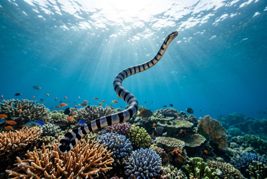
Banded Sea Krait
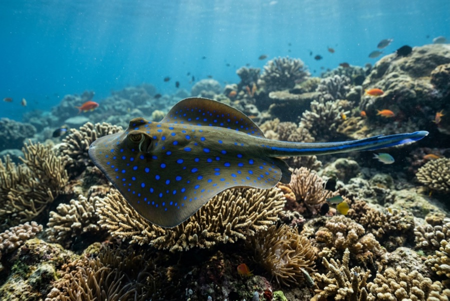
Blue-Spotted Ribbontail Ray
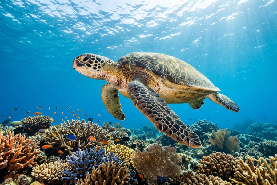
Green Sea Turtle

Nudibranchs
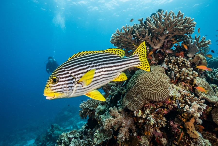
Oriental Sweetlips
Untuk fotografer
Wide angle: ★★★★☆ · Makro: ★★★☆☆ — penilaian 1–5 dari editor tentang apa yang ditawarkan lokasi ini untuk setiap gaya pemotretan