
Shark Island
水深はサイト上部から通常の最大深度までの範囲を示し、「推奨認定レベル」はオペレーターが一般的に求めるメインストリーム機関の資格レベルであり、法的な義務ではありません。流れと透明度は日々変化します——ここに掲載されている情報はすべて計画の目安としてご利用ください。
The name describes the rock's dorsal-fin profile above water, not a resident population, and guides enjoy clearing that up on the ride over. What the islet actually offers is Koh Tao's most varied single circuit: boulder slopes with dense soft coral and sea whips, gorgonian clusters unusual for the gulf, banded sea kraits threading the shallows, turtles on the sponge ledges, and sandy breaks where blue-spotted rays settle. Angelfish and sweetlips add color the west-coast sites lack. With swell running it turns washing-machine shallow, and on those days everyone learns why the schedule shuffles sites.
その瞬間のために: Soft-coral variety, sea kraits and rays, an honest name-myth debunking
地形: Granite islet with boulder slopes, soft coral, and sand patches
流れ(カレント): Swell and current wrap the rock when the wind is up; the lee side usually works.
エントリー: Off Koh Tao's southeast corner; more exposed than the west-coast sites, so it is a conditions-day call.
エントリー前に知っておこう
危険生物・リスク: Surge and swell exposure; occasional stronger current off the points.
保全: Exposed-coast coral recovers slowly from storm and anchor damage; use the moorings and mind surge spacing.
出会える生物
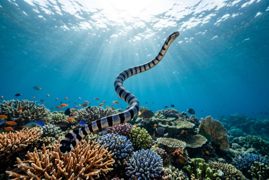
Banded Sea Krait
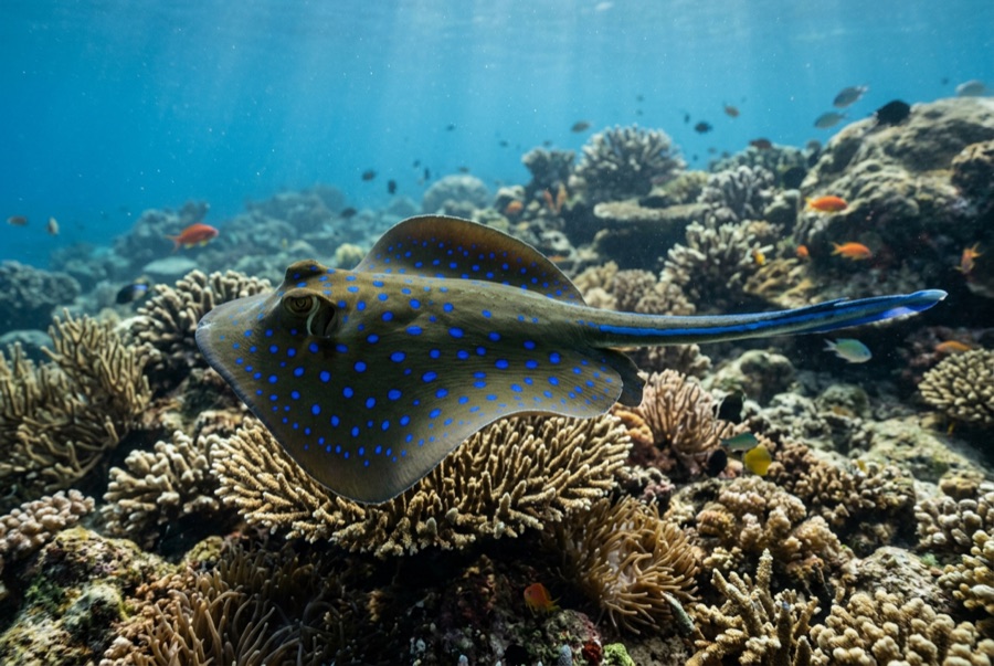
Blue-Spotted Ribbontail Ray
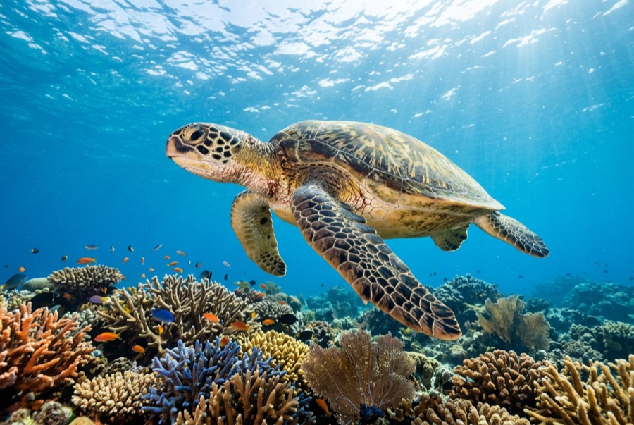
Green Sea Turtle

Nudibranchs
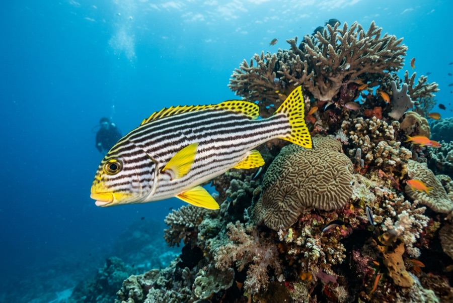
Oriental Sweetlips
水中フォトグラファー向け
ワイドアングル: ★★★★☆ · マクロ: ★★★☆☆ — 各撮影スタイルに対するこのサイトの評価(編集部による1〜5点)