
Shark Island
深度范围从潜点顶部至通常最大深度;"建议认证等级"为运营商通常要求的主流机构等级,并非法律规定。水流与能见度每日变化——请将本站所有信息作为规划参考范围。
The name describes the rock's dorsal-fin profile above water, not a resident population, and guides enjoy clearing that up on the ride over. What the islet actually offers is Koh Tao's most varied single circuit: boulder slopes with dense soft coral and sea whips, gorgonian clusters unusual for the gulf, banded sea kraits threading the shallows, turtles on the sponge ledges, and sandy breaks where blue-spotted rays settle. Angelfish and sweetlips add color the west-coast sites lack. With swell running it turns washing-machine shallow, and on those days everyone learns why the schedule shuffles sites.
您此行的高光时刻: Soft-coral variety, sea kraits and rays, an honest name-myth debunking
地形地貌: Granite islet with boulder slopes, soft coral, and sand patches
水流: Swell and current wrap the rock when the wind is up; the lee side usually works.
入水方式: Off Koh Tao's southeast corner; more exposed than the west-coast sites, so it is a conditions-day call.
入水前须知
危险因素: Surge and swell exposure; occasional stronger current off the points.
保育: Exposed-coast coral recovers slowly from storm and anchor damage; use the moorings and mind surge spacing.
你会遇见谁
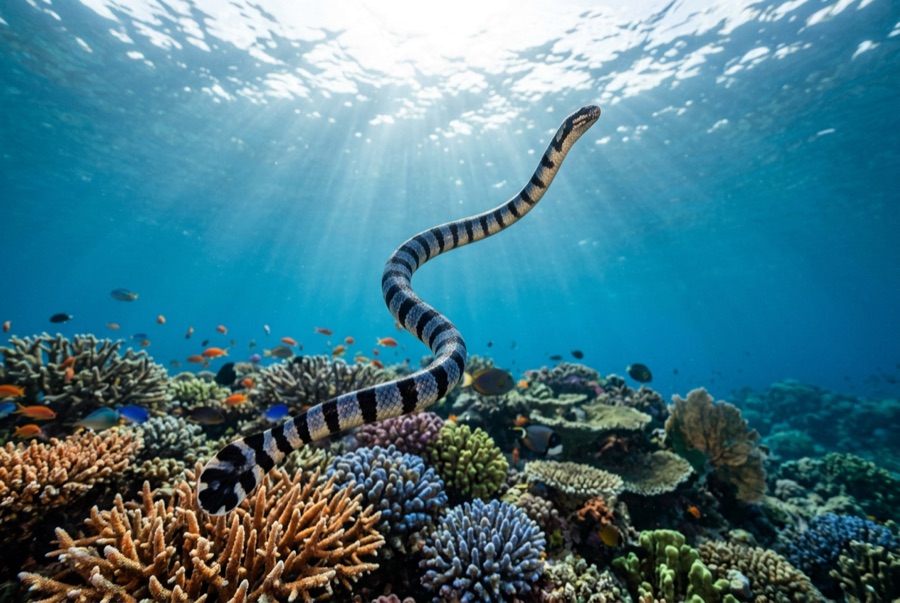
Banded Sea Krait
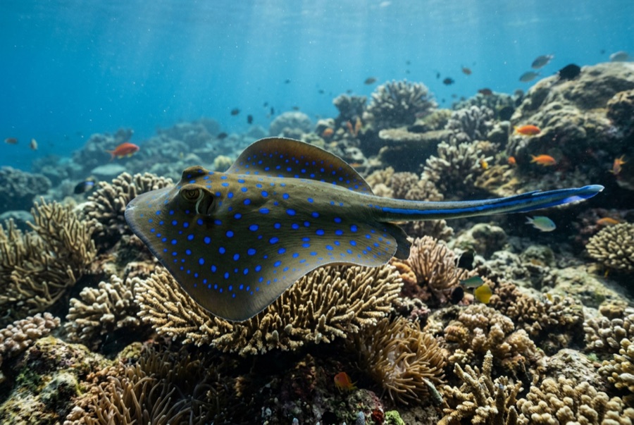
Blue-Spotted Ribbontail Ray
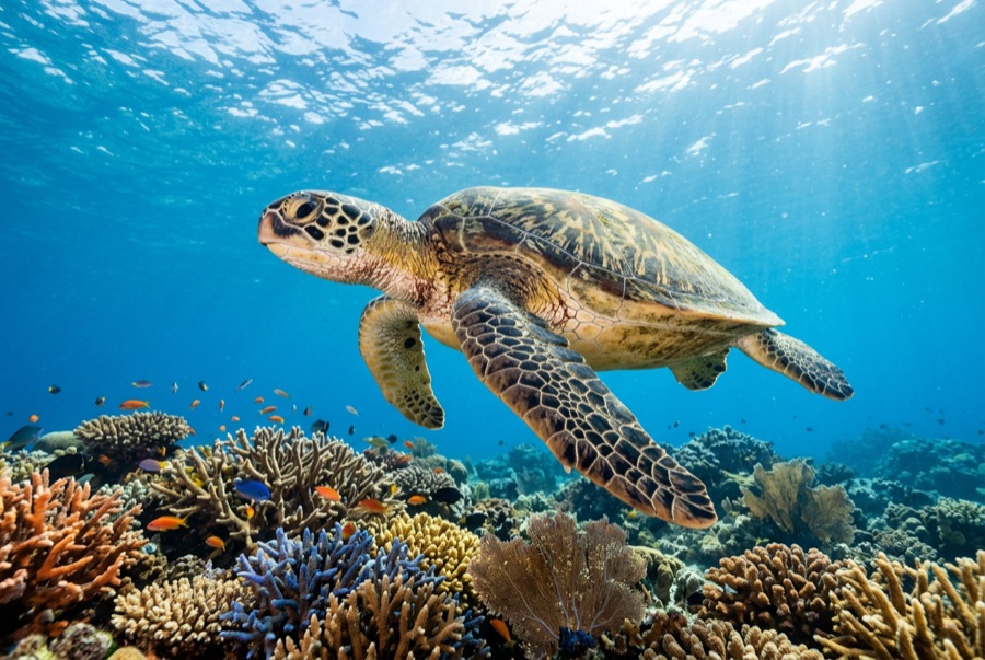
Green Sea Turtle

Nudibranchs
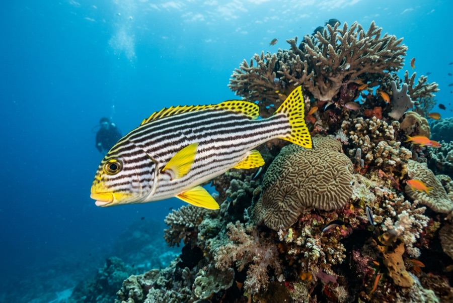
Oriental Sweetlips
摄影师专区
广角: ★★★★☆ · 微距: ★★★☆☆ — 编辑对该潜点适合各类水下摄影风格的1–5分评级