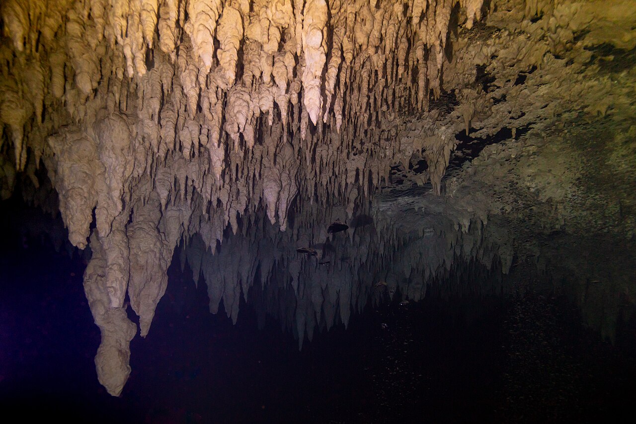
世界の水中洞窟:その広がりと深さ
71 ケーブシステム一覧26 か国1,379 km 測量済み水路の延長24 公表マップ付き
世界の水没洞窟を、各調査チームが公表したデータとともに掲載しています。各システムのマップ化された距離と深度、調査チーム、入口、アクセス管理者を確認できます。すべての数値は出典にリンクしており、公表日付を記載しています。
衛星画像:NASA Blue Marble
47 件のシステムをマップに表示しています。ドットをクリックするとそのページが開きます。白抜きのドットはおおよその位置を示しています。方向確認用であり、ナビゲーション用ではありません。 24 件は公表された位置情報がなく、以下の一覧に掲載しています。
記録
これまでに測量された最長の水中洞窟
| # | システム | 測量済み延長 |
|---|---|---|
| 1 | Sistema Ox Bel HaMexico · Quintana Roo | 496.8 km2024-10 |
| 2 | Sistema Sac ActunMexico · Quintana Roo | 379.6 km2024-12 |
| 3 | Sistema K'oox BaalMexico · Quintana Roo | 103.1 km2024-04 |
| 4 | Wakulla-Leon Sinks cave systemUnited States · Florida | 72.2 km2023-01-07 |
| 5 | Sistema Xunaan HaMexico · Quintana Roo | 57.3 km2024-04 |
| 6 | Sistema Toh HaMexico · Quintana Roo | 47.7 km2018-12 |
| 7 | Dan's Cave SystemThe Bahamas · Abaco | 19.3 km2026-07 |
| 8 | Blauhöhle system (Blautopf)Germany · Baden-Württemberg | 19.0 km2026-10 |
| 9 | Grotte del Bue MarinoItaly · Sardinia (Nuoro) | 15.0 km |
| 10 | Sistema Dos PisosMexico · Quintana Roo | 14.8 km2019-11 |
水中の通路の延長距離は、測量チームが最後に公表した数値です。探査が進むにつれてリストは更新されます。延長距離が公表されていないシステムは除外しています。
記録
これまでに探査された最深の水没洞窟
| # | システム | 水深 |
|---|---|---|
| 1 | Hranice AbyssCzechia · シンクホール | 521 m |
| 2 | Pozzo del MerroItaly · シンクホール | 392 m |
| 3 | Långban MineSweden · 水没した鉱山 | 365 m |
| 4 | Fontaine de VaucluseFrance · 湧出口 | 315 m |
| 5 | BoesmansgatSouth Africa · シンクホール | 283 m |
| 6 | Harasib CaveNamibia · 水中ケーブ | 265 m |
| 7 | Ojamo MineFinland · 水没した鉱山 | 250 m |
| 8 | Pearse ResurgenceNew Zealand · 湧出口 | 245 m |
| 9 | Gouls de TourneFrance · 湧出口 | 240 m |
| 10 | Lagoa MisteriosaBrazil · シンクホール | 220 m |
水没した洞窟システムで確認されている最も深い地点です。ダイバーではなくロボットやROVで計測されることが多く、各システムのページに計測方法と計測時期を記載しています。
ブラウズ
全洞窟システム、国・種類・アクセス別
Australia 4The Bahamas 5Belize 1Brazil 5Czechia 1Dominican Republic 2Egypt 1Finland 1France 6Germany 1Greece 1Hungary 2Italy 2Mexico 10Namibia 4New Zealand 1Norway 1Philippines 2Portugal 1Slovenia 1South Africa 2Spain 2Sweden 2United Kingdom 2United States 10Zimbabwe 1
公開マップ
| システム | タイプ | 測量済み延長 | 水深 | 入口数 | アクセス | |
|---|---|---|---|---|---|---|
| Green Waterhole - Tank Cave systemSouth Australia | 水中ケーブ | 10.0 km | — | 2 | 入口によって異なる | |
| Cocklebiddy CaveWestern Australia | 水中ケーブ | 6.3 km1995 | — | 1 | 立入制限あり | |
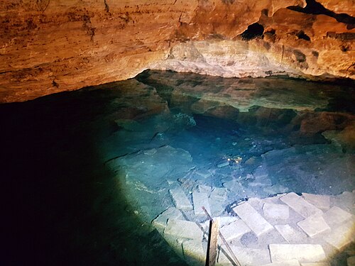 |
Engelbrecht CaveSouth Australia | 水中ケーブ | — | 22 m | 2 | 条件付きで資格保有ダイバーに開放 |
| Piccaninnie Ponds Karst WetlandsSouth Australia | 泉のシステム | — | 110 m | 1 | ダイビング禁止 |
| システム | タイプ | 測量済み延長 | 水深 | 入口数 | アクセス | |
|---|---|---|---|---|---|---|
| Dan's Cave SystemAbaco | アンキアライン洞窟 | 19.3 km2026-07 | 60 m | 2 | 立入制限あり | |
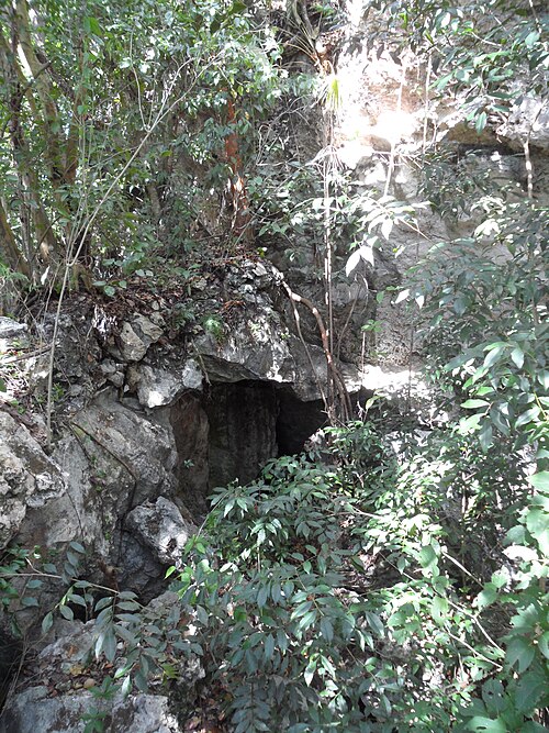 |
Lucayan CavernsGrand Bahama | アンキアライン洞窟 | 10.5 km | — | 1 | 入口によって異なる |
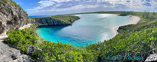 |
Dean's Blue HoleLong Island | ブルーホール | — | 202 m | 1 | アクセス状況は未確認 |
| Sawmill SinkAbaco | ブルーホール | — | 54 m | 1 | 立入制限あり | |
| Stargate Blue HoleSouth Andros | ブルーホール | — | 104 m | 1 | プライベート:オーナーの許可が必要 |
| システム | タイプ | 測量済み延長 | 水深 | 入口数 | アクセス | |
|---|---|---|---|---|---|---|
| Great Blue HoleLighthouse Reef Atoll | ブルーホール | — | 125 m | 1 | 条件付きで資格保有ダイバーに開放 |
| システム | タイプ | 測量済み延長 | 水深 | 入口数 | アクセス | |
|---|---|---|---|---|---|---|
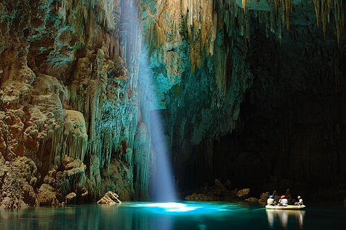 |
Abismo AnhumasMato Grosso do Sul | シンクホール | — | 80 m | 1 | 条件付きで資格保有ダイバーに開放 |
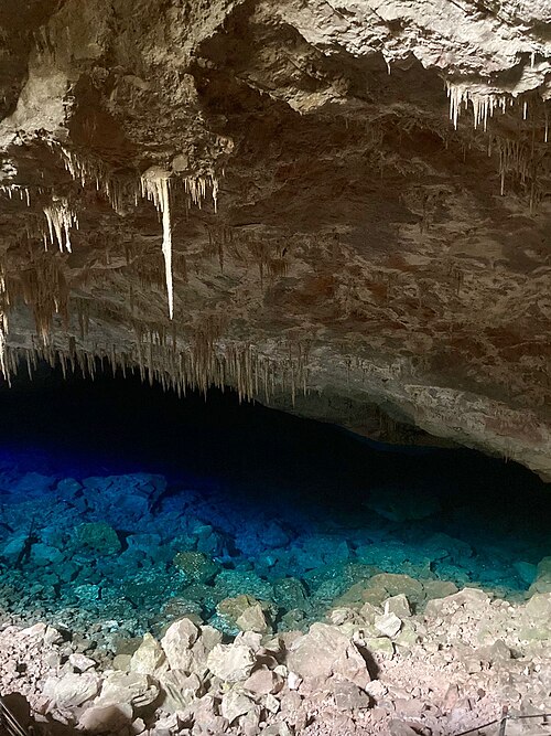 |
Gruta do Lago AzulMato Grosso do Sul | 水中ケーブ | — | 90 m | 1 | 立入制限あり |
| Gruta do MimosoMato Grosso do Sul | 水中ケーブ | — | — | 1 | 条件付きで資格保有ダイバーに開放 | |
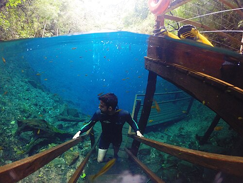 |
Lagoa MisteriosaMato Grosso do Sul | シンクホール | — | 220 m | 1 | 条件付きで資格保有ダイバーに開放 |
| Poço AzulBahia | シンクホール | — | 60 m | 1 | アクセス状況は未確認 |
| システム | タイプ | 測量済み延長 | 水深 | 入口数 | アクセス | |
|---|---|---|---|---|---|---|
| Hranice AbyssOlomouc Region | シンクホール | — | 521 m | 1 | 立入制限あり |
| システム | タイプ | 測量済み延長 | 水深 | 入口数 | アクセス | |
|---|---|---|---|---|---|---|
| Manantial de la AletaLa Altagracia | シンクホール | — | 73 m | 1 | アクセス状況は未確認 | |
| Padre Nuestro ComplexLa Altagracia | シンクホール | — | — | 1 | 条件付きで資格保有ダイバーに開放 |
| システム | タイプ | 測量済み延長 | 水深 | 入口数 | アクセス | |
|---|---|---|---|---|---|---|
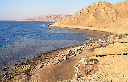 |
Blue Hole (Dahab)South Sinai | ブルーホール | — | — | 1 | 条件付きで資格保有ダイバーに開放 |
| システム | タイプ | 測量済み延長 | 水深 | 入口数 | アクセス | |
|---|---|---|---|---|---|---|
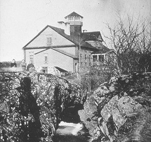 |
Ojamo MineUusimaa | 水没した鉱山 | — | 250 m | 1 | 立入制限あり |
| システム | タイプ | 測量済み延長 | 水深 | 入口数 | アクセス | |
|---|---|---|---|---|---|---|
| Émergence du ResselLot (Occitanie) | 湧出口 | 5.9 km2005 | 78 m | 1 | 条件付きで資格保有ダイバーに開放 | |
| Font del TruffeLot (Occitanie) | 湧出口 | — | 30 m | 1 | アクセス状況は未確認 | |
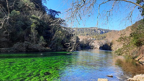 |
Fontaine de VaucluseVaucluse (Provence-Alpes-Côte d'Azur) | 湧出口 | — | 315 m | 1 | 立入制限あり |
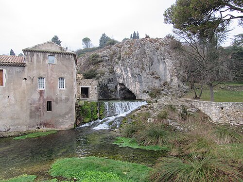 |
Gouls de TourneArdèche (Auvergne-Rhône-Alpes) | 湧出口 | — | 240 m | 2 | 条件付きで資格保有ダイバーに開放 |
| Réseau de l'Ouysse (Cabouy – Pou Meyssen)Lot (Occitanie) | 湧出口 | — | — | 2 | アクセス状況は未確認 | |
| Source de Saint-SauveurLot (Occitanie) | 湧出口 | — | 195 m | 1 | 立入制限あり |
| システム | タイプ | 測量済み延長 | 水深 | 入口数 | アクセス | |
|---|---|---|---|---|---|---|
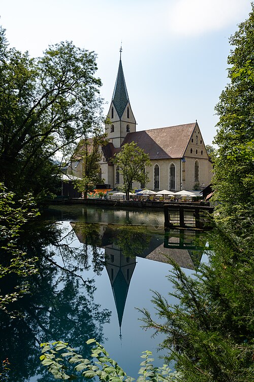 |
Blauhöhle system (Blautopf)Baden-Württemberg | 水中ケーブ | 19.0 km2026-10 | — | 1 | 立入制限あり |
| システム | タイプ | 測量済み延長 | 水深 | 入口数 | アクセス | |
|---|---|---|---|---|---|---|
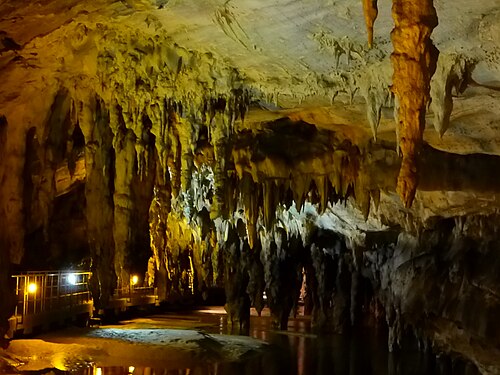 |
Maaras resurgence (Aggitis Cave)Drama (Eastern Macedonia and Thrace) | 湧出口 | 11.8 km2010-08 | 68 m | — | 立入制限あり |
| システム | タイプ | 測量済み延長 | 水深 | 入口数 | アクセス | |
|---|---|---|---|---|---|---|
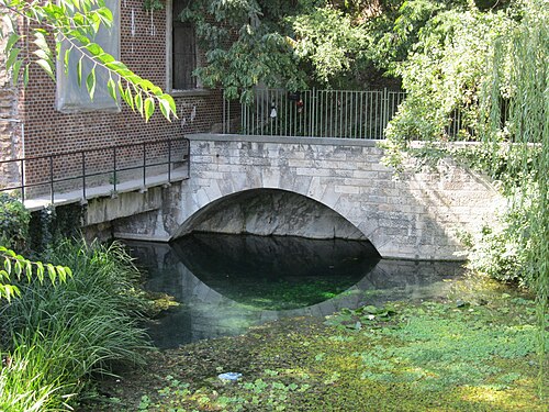 |
Molnár János CaveBudapest | 水中ケーブ | 6.2 km2025-12-31 | — | 1 | 条件付きで資格保有ダイバーに開放 |
 |
Tapolca cave system | 水中ケーブ | — | — | — | 立入制限あり |
| システム | タイプ | 測量済み延長 | 水深 | 入口数 | アクセス | |
|---|---|---|---|---|---|---|
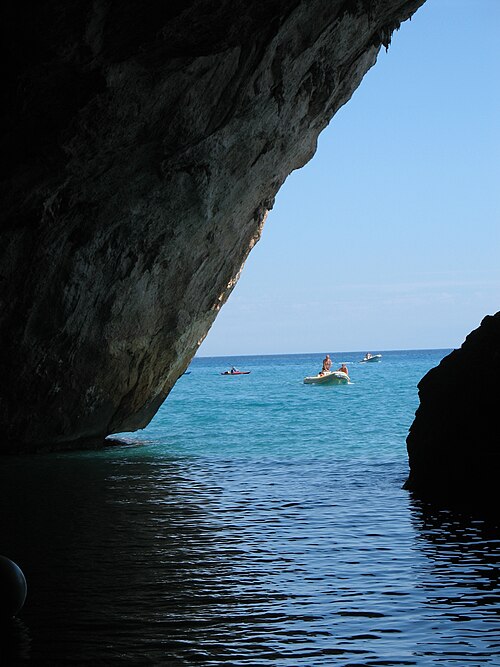 |
Grotte del Bue MarinoSardinia (Nuoro) | 海の洞窟 | 15.0 km | — | 1 | 入口によって異なる |
 |
Pozzo del MerroLazio | シンクホール | — | 392 m | 1 | 立入制限あり |
10
| システム | タイプ | 測量済み延長 | 水深 | 入口数 | アクセス | |
|---|---|---|---|---|---|---|
| Sistema Ox Bel HaQuintana Roo | アンキアライン洞窟 | 496.8 km2024-10 | 57 m | 1 | 入口によって異なる | |
 |
Sistema Sac ActunQuintana Roo | アンキアライン洞窟 | 379.6 km2024-12 | 119 m | 6 | 入口によって異なる |
| Sistema K'oox BaalQuintana Roo | アンキアライン洞窟 | 103.1 km2024-04 | 26 m | 1 | 入口によって異なる | |
 |
Sistema Xunaan HaQuintana Roo | アンキアライン洞窟 | 57.3 km2024-04 | 27 m | — | アクセス状況は未確認 |
| Sistema Toh HaQuintana Roo | アンキアライン洞窟 | 47.7 km2018-12 | 13 m | 1 | アクセス状況は未確認 | |
| Sistema Dos PisosQuintana Roo | アンキアライン洞窟 | 14.8 km2019-11 | 24 m | — | アクセス状況は未確認 | |
| Cueva QuebradaQuintana Roo | アンキアライン洞窟 | 11.6 km2014-07 | 9 m | — | 立入制限あり | |
| Sistema Taj MahalQuintana Roo | アンキアライン洞窟 | 10.0 km2017-08 | 24 m | 1 | 条件付きで資格保有ダイバーに開放 | |
| Sistema Chac-MolQuintana Roo | アンキアライン洞窟 | 9.2 km2000-01 | 28 m | 2 | 条件付きで資格保有ダイバーに開放 | |
 |
Sistema CarwashQuintana Roo | アンキアライン洞窟 | 3.2 km2016-09 | 26 m | 1 | 条件付きで資格保有ダイバーに開放 |
| システム | タイプ | 測量済み延長 | 水深 | 入口数 | アクセス | |
|---|---|---|---|---|---|---|
| Dragon's Breath CaveOtjozondjupa | 水中ケーブ | — | 205 m | 1 | プライベート:オーナーの許可が必要 | |
| Harasib CaveOtjozondjupa | 水中ケーブ | — | 265 m | — | プライベート:オーナーの許可が必要 | |
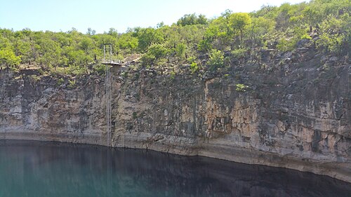 |
Lake GuinasOshikoto | シンクホール | — | 133 m | 1 | プライベート:オーナーの許可が必要 |
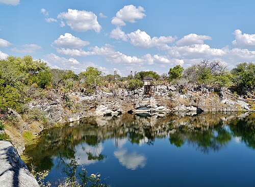 |
Lake OtjikotoOshikoto | シンクホール | — | — | 1 | 立入制限あり |
| システム | タイプ | 測量済み延長 | 水深 | 入口数 | アクセス | |
|---|---|---|---|---|---|---|
| Pearse ResurgenceTasman | 湧出口 | — | 245 m | 1 | アクセス状況は未確認 |
| システム | タイプ | 測量済み延長 | 水深 | 入口数 | アクセス | |
|---|---|---|---|---|---|---|
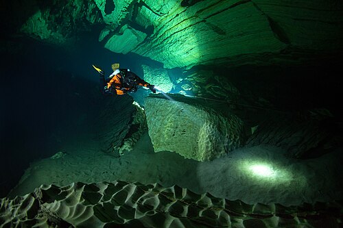 |
Pluragrotta–Steinugleflåget systemNordland | 水中ケーブ | 2.6 km2026 | 130 m | 2 | 条件付きで資格保有ダイバーに開放 |
| システム | タイプ | 測量済み延長 | 水深 | 入口数 | アクセス | |
|---|---|---|---|---|---|---|
| Pawod Underwater Cave SystemCebu (Central Visayas) | 水中ケーブ | 258 m2016-05 | — | 1 | アクセス状況は未確認 | |
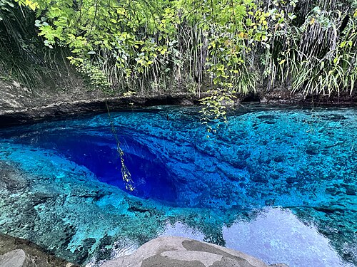 |
Hinatuan Enchanted River Underwater Cave SystemSurigao del Sur (Caraga) | 泉のシステム | — | — | 1 | アクセス状況は未確認 |
| システム | タイプ | 測量済み延長 | 水深 | 入口数 | アクセス | |
|---|---|---|---|---|---|---|
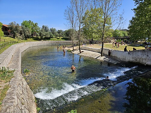 |
Olhos de Água do AlvielaCentral Portugal (Planalto de Santo António) | 湧出口 | — | 125 m | — | アクセス状況は未確認 |
| システム | タイプ | 測量済み延長 | 水深 | 入口数 | アクセス | |
|---|---|---|---|---|---|---|
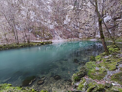 |
Divje jezeroIdrija | 泉のシステム | — | 160 m | 1 | ダイビング禁止 |
| システム | タイプ | 測量済み延長 | 水深 | 入口数 | アクセス | |
|---|---|---|---|---|---|---|
| BoesmansgatNorthern Cape | シンクホール | — | 283 m | 1 | プライベート:オーナーの許可が必要 | |
| Komati SpringsMpumalanga | 水没した鉱山 | — | 186 m | 1 | アクセス状況は未確認 |
| システム | タイプ | 測量済み延長 | 水深 | 入口数 | アクセス | |
|---|---|---|---|---|---|---|
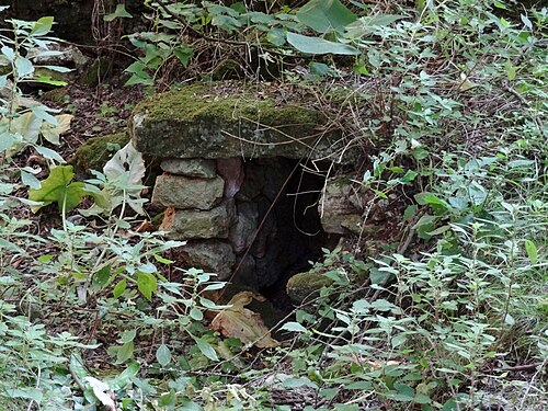 |
Sistema Gleda–Camp des PouMallorca (Balearic Islands) | アンキアライン洞窟 | 14.6 km2020 | 24 m | 2 | 立入制限あり |
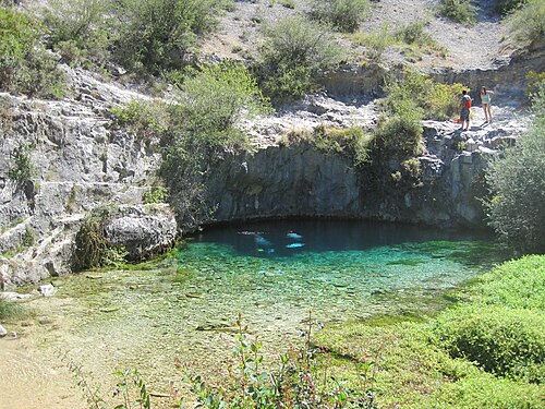 |
Pozo AzulBurgos (Castilla y León) | 湧出口 | 13.7 km2015-08 | 71 m | 1 | アクセス状況は未確認 |
| システム | タイプ | 測量済み延長 | 水深 | 入口数 | アクセス | |
|---|---|---|---|---|---|---|
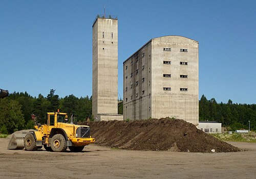 |
Tuna-Hästberg Mine (Äventyrsgruvan)Dalarna | 水没した鉱山 | 7.0 km2026 | — | 1 | 条件付きで資格保有ダイバーに開放 |
| Långban MineVärmland | 水没した鉱山 | — | 365 m | 1 | 立入制限あり |
| システム | タイプ | 測量済み延長 | 水深 | 入口数 | アクセス | |
|---|---|---|---|---|---|---|
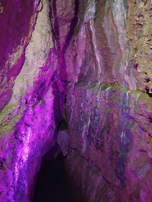 |
Wookey HoleSomerset | 水中ケーブ | 3.7 km2024-03-02 | 143 m | — | プライベート:オーナーの許可が必要 |
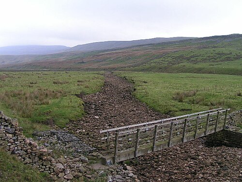 |
Kingsdale system (Keld Head)Yorkshire Dales | 湧出口 | — | — | 2 | 入口によって異なる |
| システム | タイプ | 測量済み延長 | 水深 | 入口数 | アクセス | |
|---|---|---|---|---|---|---|
| Wakulla-Leon Sinks cave systemFlorida | 泉のシステム | 72.2 km2023-01-07 | — | 4 | 入口によって異なる | |
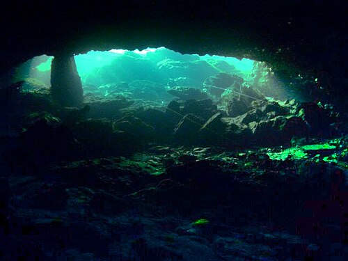 |
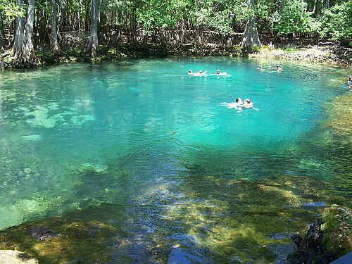
Peacock Springs cave systemFlorida | 泉のシステム | 10.1 km2026-03 | — | 2 | 条件付きで資格保有ダイバーに開放 |
 |
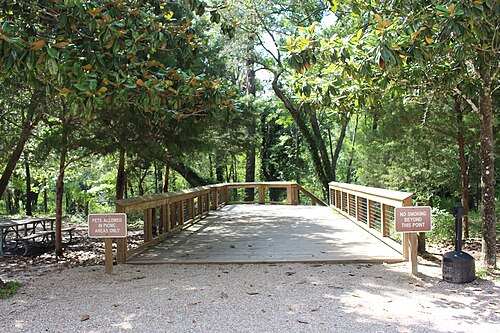
Manatee Springs cave systemFlorida | 泉のシステム | 8.0 km | — | 3 | 条件付きで資格保有ダイバーに開放 |
 |
Madison Blue Spring cave systemFlorida | 泉のシステム | 7.9 km2014 | — | 2 | 条件付きで資格保有ダイバーに開放 |
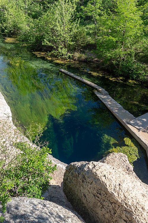 |
Jacob's Well caveTexas | 泉のシステム | 1.8 km | 42 m | 1 | ダイビング禁止 |
| Cow Springs caveFlorida | 泉のシステム | — | — | 1 | 立入制限あり | |
| Devil's Spring System (Ginnie Springs)Florida | 泉のシステム | — | — | 3 | 条件付きで資格保有ダイバーに開放 | |
| Eagle's Nest Sink caveFlorida | シンクホール | — | 94 m | 1 | 条件付きで資格保有ダイバーに開放 | |
| Jackson Blue Spring caveFlorida | 泉のシステム | — | — | 1 | アクセス状況は未確認 | |
| Little River Springs caveFlorida | 泉のシステム | — | — | 1 | 条件付きで資格保有ダイバーに開放 |
| システム | タイプ | 測量済み延長 | 水深 | 入口数 | アクセス | |
|---|---|---|---|---|---|---|
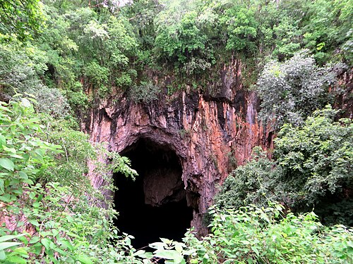 |
Chinhoyi CavesMashonaland West | シンクホール | — | 103 m | 1 | 条件付きで資格保有ダイバーに開放 |
マップ
公開されている地図と調査資料
おおまかな位置確認用です。 このサイトおよびリンク先のマップは、水中ナビゲーションのツールではありません。洞窟測量図の著作権は作成チームに帰属します。著作権および公開制限を必ずお守りください。
| マップ・測量図 | 発行元 | システム |
|---|---|---|
| QRSS: Underwater caves of Isla Cozumel ↗Cozumel cave list and access notes. | Quintana Roo Speleological Survey | Cueva Quebrada |
| Divje jezero (fiche with section and plan) ↗Fiche by Frank Vasseur with bibliography of Slovenian sources. | plongeesout.ffspeleo.fr | Divje jezero |
| Font del Truffe (fiche with section, plan, S12 plan and terminal sketch) ↗Fiche by F. Vasseur, updated 16 March 2016. | plongeesout.ffspeleo.fr | Font del Truffe |
| Goul de la Tannerie (fiche with sections and plans) ↗After documents by Bertrand Léger, updated by F. Vasseur. | plongeesout.ffspeleo.fr | Gouls de Tourne |
| Goul du Pont (fiche with plan and sections) ↗Fiche by F. Vasseur, updated 2 November 2007. | plongeesout.ffspeleo.fr | Gouls de Tourne |
| Mapy (maps of the abyss) ↗Published maps and current-state section of the research group's site. | ZO ČSS 7-02 Hranický kras | Hranice Abyss |
| Expédition 2010 – Le karst du massif du Falakro et la résurgence de Maaras (report with survey 1978-2010) ↗Hydrogeological and survey results. | Pascal Reilé (FFS), hosted on plongeesout.ffspeleo.fr | Maaras resurgence (Aggitis Cave) |
| Research report on the 2025 research of the Molnár János Cave (in Hungarian) ↗Includes a survey-line excerpt of the 2025 extension; not a full cave map. | termeszetvedelem.hu (Hungarian nature conservation portal) | Molnár János Cave |
| Olhos de Agua do Alviela (fiche with survey) ↗Links to a survey drawing and the expedition account. | plongeesout.ffspeleo.fr | Olhos de Água do Alviela |
| Pozzo del Merro – cave sheet (I Monti Cornicolani) ↗Regional cave register sheet with description and history (catasto La 32). | Parchi Lazio | Pozzo del Merro |
| Résurgence de Cabouy (fiche with plan and section of Cabouy–Pou Meyssen) ↗Links to Cabouy–Pou Meyssen plan and section and a complete plan of the Ouysse network dated December 2017. | plongeesout.ffspeleo.fr | Réseau de l'Ouysse (Cabouy – Pou Meyssen) |
| Gouffre de Pou Meyssen (fiche) ↗Updated 29 November 2014 with surveys proposed by Torsten Schnitter; links to upstream plans. | plongeesout.ffspeleo.fr | Réseau de l'Ouysse (Cabouy – Pou Meyssen) |
| QRSS list of long underwater caves in Quintana Roo ↗Length, depth and cenote count table. | Quintana Roo Speleological Survey | Sistema Carwash |
| QRSS list of long underwater caves in Quintana Roo ↗Length, depth and cenote count table. | Quintana Roo Speleological Survey | Sistema Chac-Mol |
| QRSS list of long underwater caves in Quintana Roo ↗Length, depth and cenote count table. | Quintana Roo Speleological Survey | Sistema Dos Pisos |
| Sistema Gleda-Camp des Pou (Manacor, Mallorca): estat de la qüestió ↗Open-access review with historical and current survey figures (CC BY-NC-ND 4.0). | Societat Espeleològica Balear (Papers SEB 3, 2020) | Sistema Gleda–Camp des Pou |
| QRSS list of long underwater caves in Quintana Roo ↗Length, depth and cenote count table. | Quintana Roo Speleological Survey | Sistema K'oox Baal |
| CINDAQ annual reports ↗Yearly reports with survey totals and project summaries. | CINDAQ | Sistema Ox Bel Ha |
| QRSS list of long underwater caves in Quintana Roo ↗Length, depth and cenote count table. | Quintana Roo Speleological Survey | Sistema Ox Bel Ha |
| QRSS list of long underwater caves in Quintana Roo ↗Length, depth and cenote count table; QRSS sells printed maps separately. | Quintana Roo Speleological Survey | Sistema Sac Actun |
| QRSS list of long underwater caves in Quintana Roo ↗Length, depth and cenote count table. | Quintana Roo Speleological Survey | Sistema Taj Mahal |
| QRSS list of long underwater caves in Quintana Roo ↗Length, depth and cenote count table. | Quintana Roo Speleological Survey | Sistema Toh Ha |
| QRSS list of long underwater caves in Quintana Roo ↗Length, depth and cenote count table. | Quintana Roo Speleological Survey | Sistema Xunaan Ha |
| Source de Saint Sauveur (fiche with section 2005 and plan) ↗Links to a 2005 section, a plan and a section of the Vierge Noire gallery. | plongeesout.ffspeleo.fr | Source de Saint-Sauveur |
| Wakulla Basin Mapping Initiative - Update 2 ↗Expedition update (2026-08-04) on 3D mapping with an autonomous vehicle and radio location of passages; no map is... | Woodville Karst Plain Project | Wakulla-Leon Sinks cave system |
| Mendip Cave Registry entry: Wookey Hole ↗Registry record listing 28 historic surveys (1904-1969). | Mendip Cave Registry & Archive | Wookey Hole |
| RESSEL mise à jour / update: complete survey (2005) ↗Plans and sections of each part of the cave, survey by HFGK, INGO and the Landesverein für Höhlenkunde in der... | plongeesout.ffspeleo.fr | Émergence du Ressel |
| Cave Areas of Quintana Roo (QRSS cave footprint map) ↗An area-level map of known cave zones around Tulum, built by buffering survey lines by 250 m. It shows how much of... | Quintana Roo Speleological Survey | — |
| Hoyo Negro Project ↗Project site for the Hoyo Negro research: Naia, the extinct fauna, digital documentation by photogrammetry, and a... | Instituto Nacional de Antropología e Historia / University of California San Diego | — |
| Karst Underwater Research (KUR) ↗A volunteer non-profit exploring and documenting flooded karst in Florida, including Manatee, Madison, Ichetucknee,... | Karst Underwater Research | — |
| Karst in the United States: A Digital Map Compilation and Database ↗A national GIS and KML map of rocks and deposits that host or could host karst in the US, Puerto Rico and the US... | U.S. Geological Survey (Open-File Report 2014-1156) | — |
| New Madison and Manatee cave maps ↗Announcement of updated survey maps of Madison Blue Spring and Manatee Springs in Florida, with free small-scale... | Karst Underwater Research | — |
| Proyecto Espeleológico Sistema Huautla (PESH) ↗The exploration project for Sistema Huautla in Mexico, a very deep cave system whose flooded sections have been the... | PESH | — |
| Quintana Roo Speleological Survey (QRSS) ↗A long-running project that gathers cave survey data for Quintana Roo, Mexico. It publishes length and depth... | Quintana Roo Speleological Survey | — |
| U.S. Deep Caving Team ↗A non-profit devoted to exploring the planet's remaining frontiers and building the technology to do it. Its... | U.S. Deep Caving Team, Inc. | — |
| Woodville Karst Plain Project (WKPP) ↗A non-profit exploring and studying the flooded caves of North Florida's Woodville Karst Plain, including the... | Woodville Karst Plain Project | — |
| World Karst Aquifer Map (WOKAM) ↗A global map of potential karst aquifers in carbonate and evaporite rocks, with selected major karst springs and... | WHYMAP / Federal Institute for Geosciences and Natural Resources (BGR) | — |